Green Turtle Cay to Manjack Cay, Abacos, Bahamas (anchored)
May 27, 2022
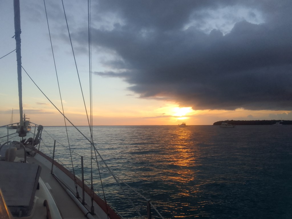
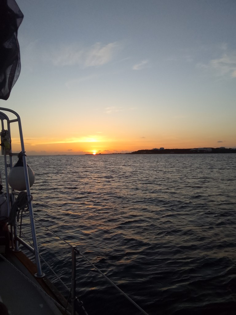
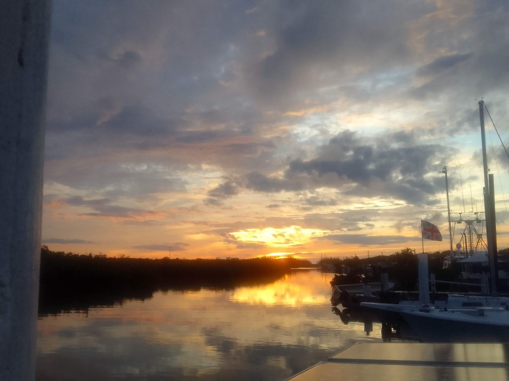
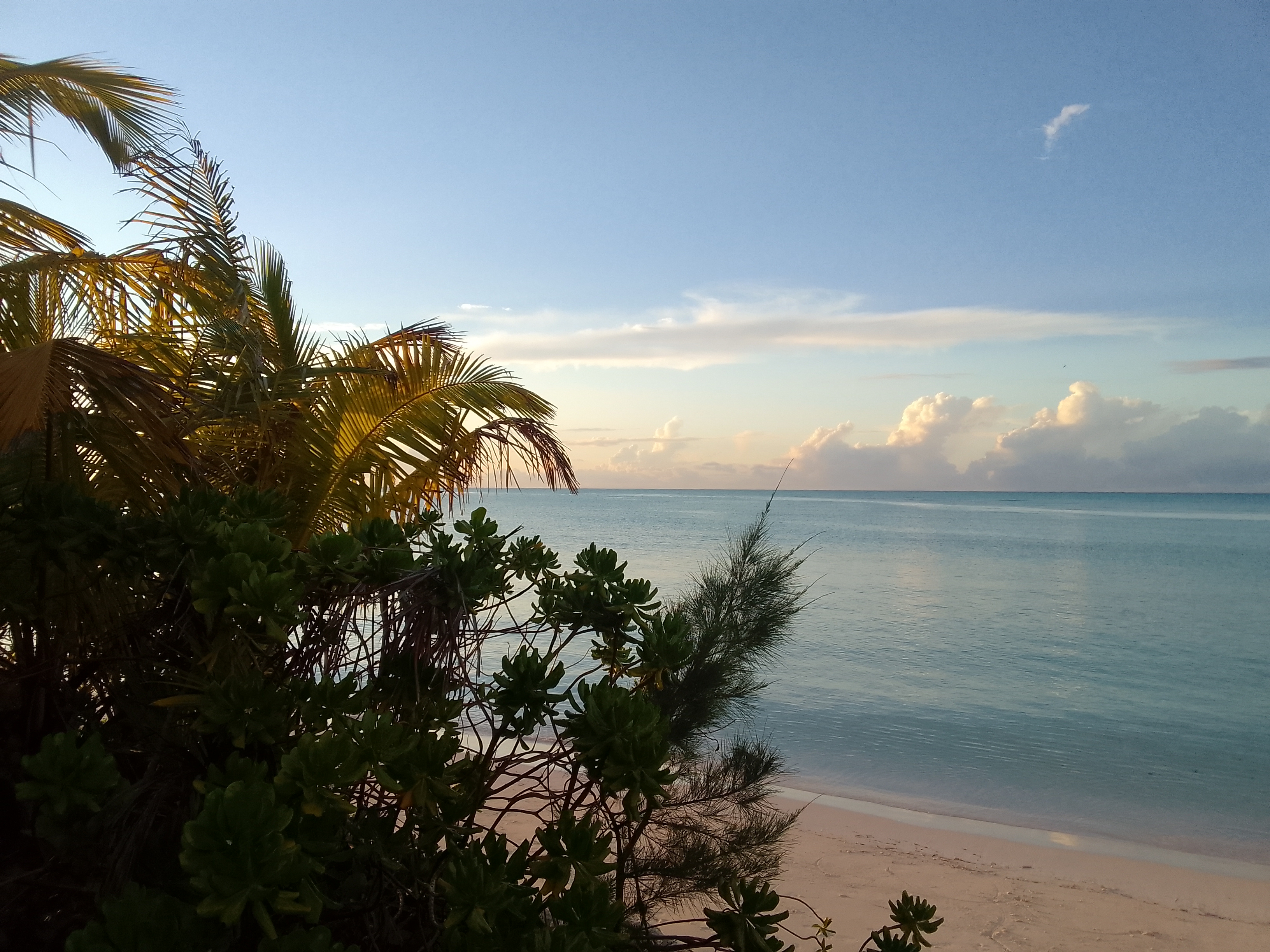
Sunrise at our mooring
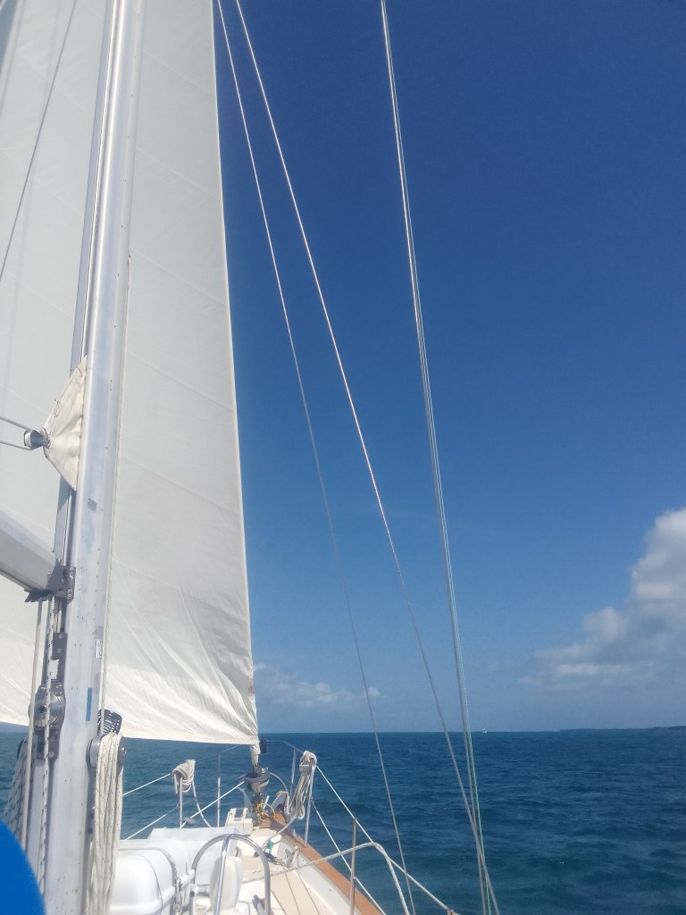
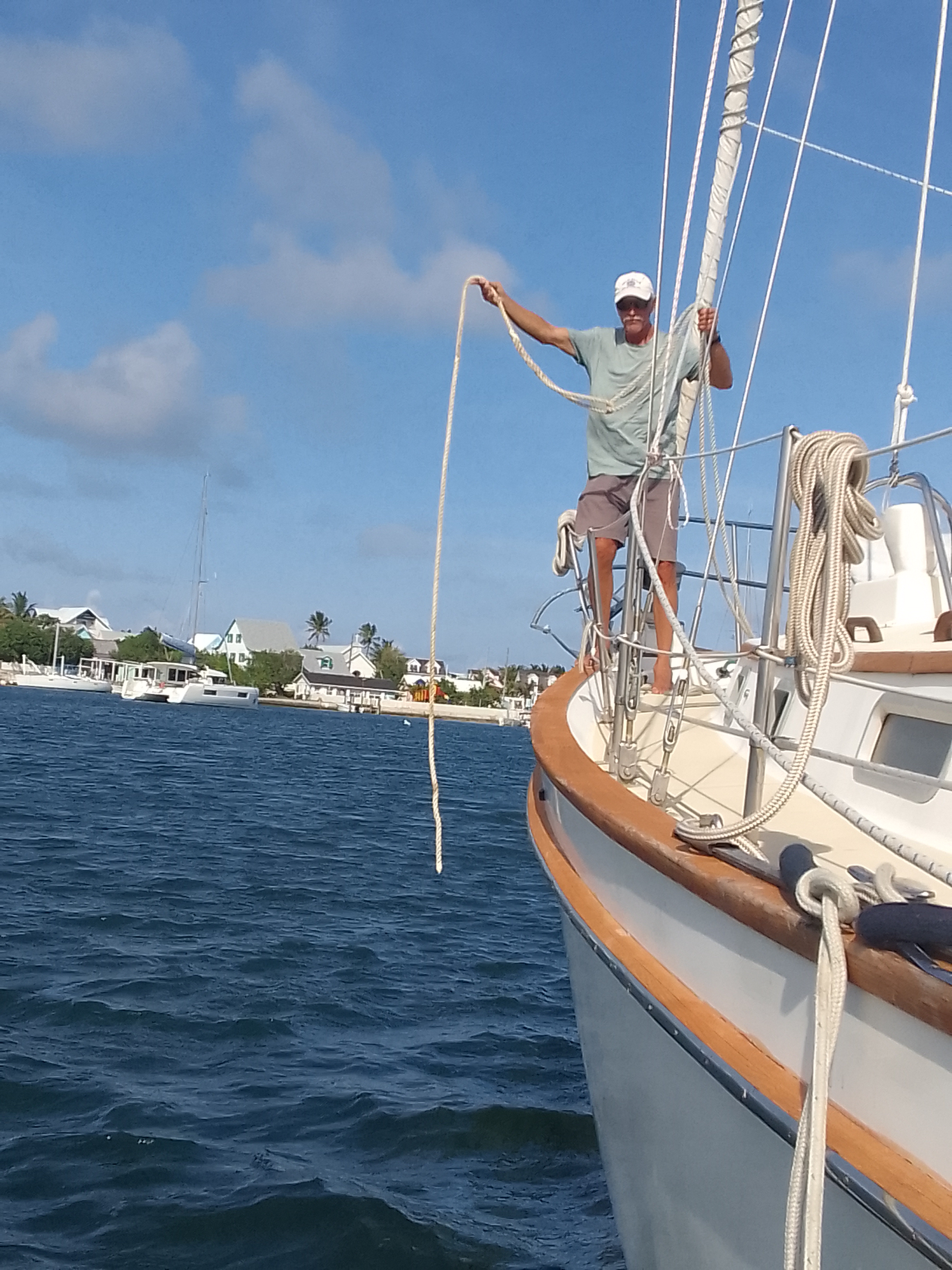
After a quick breakfast in town, we let go of the mooring ball in Black Point Sound and did a quick sail to Manjack Cay. This cay is privately owned by a few gracious folks who provide access to their island and several walking trails.
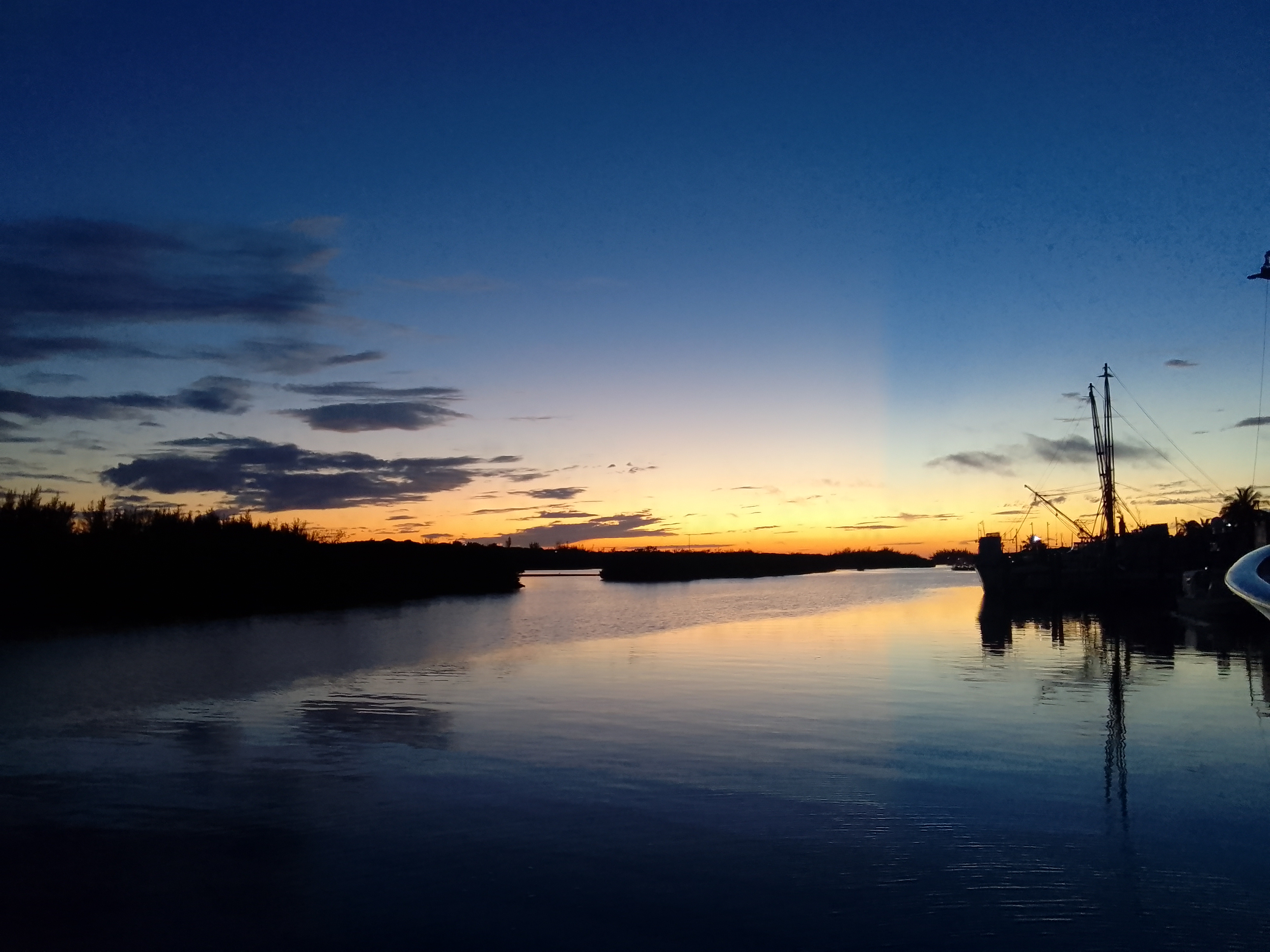
On our way to Manjack
Our short hop
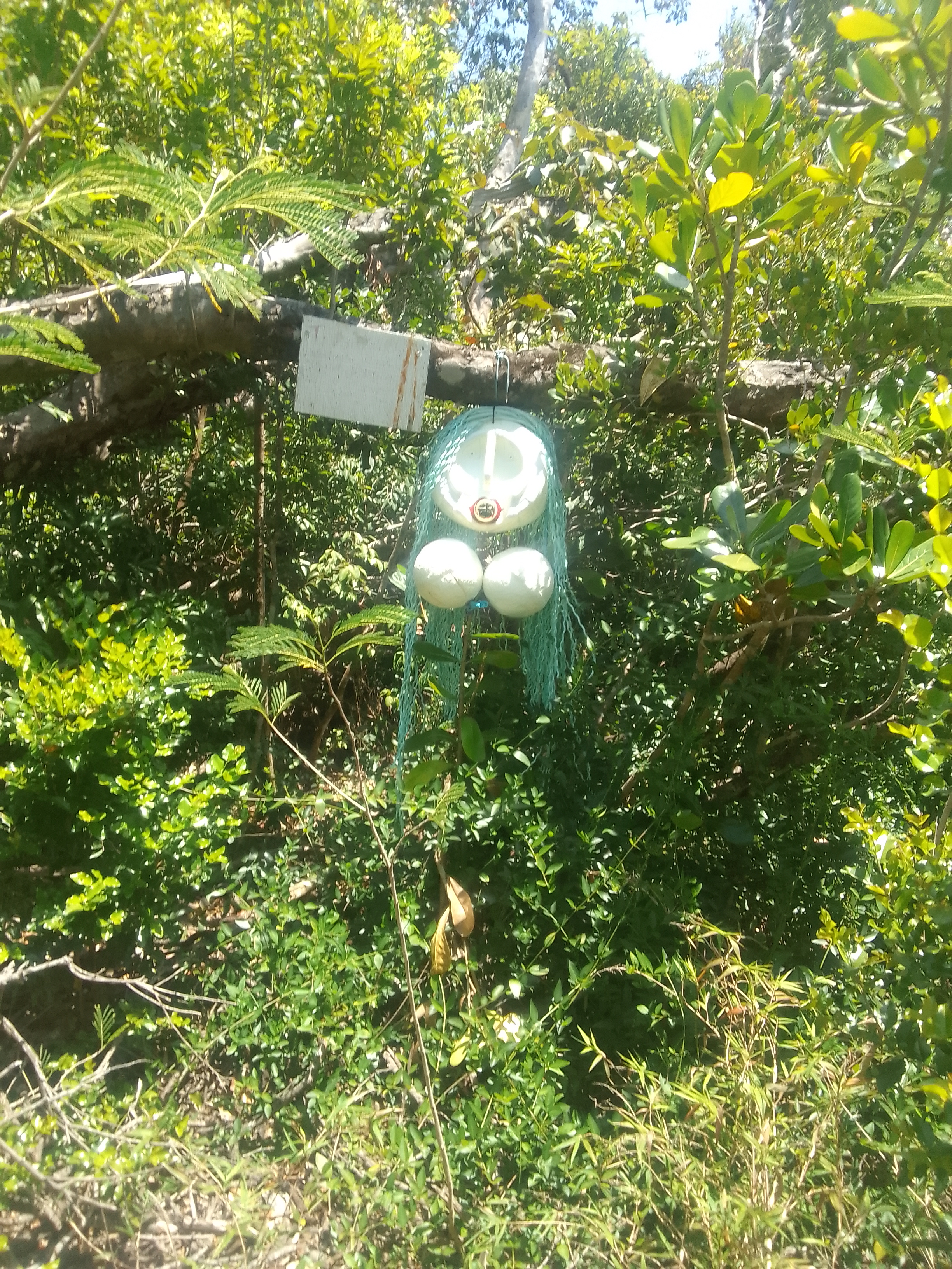
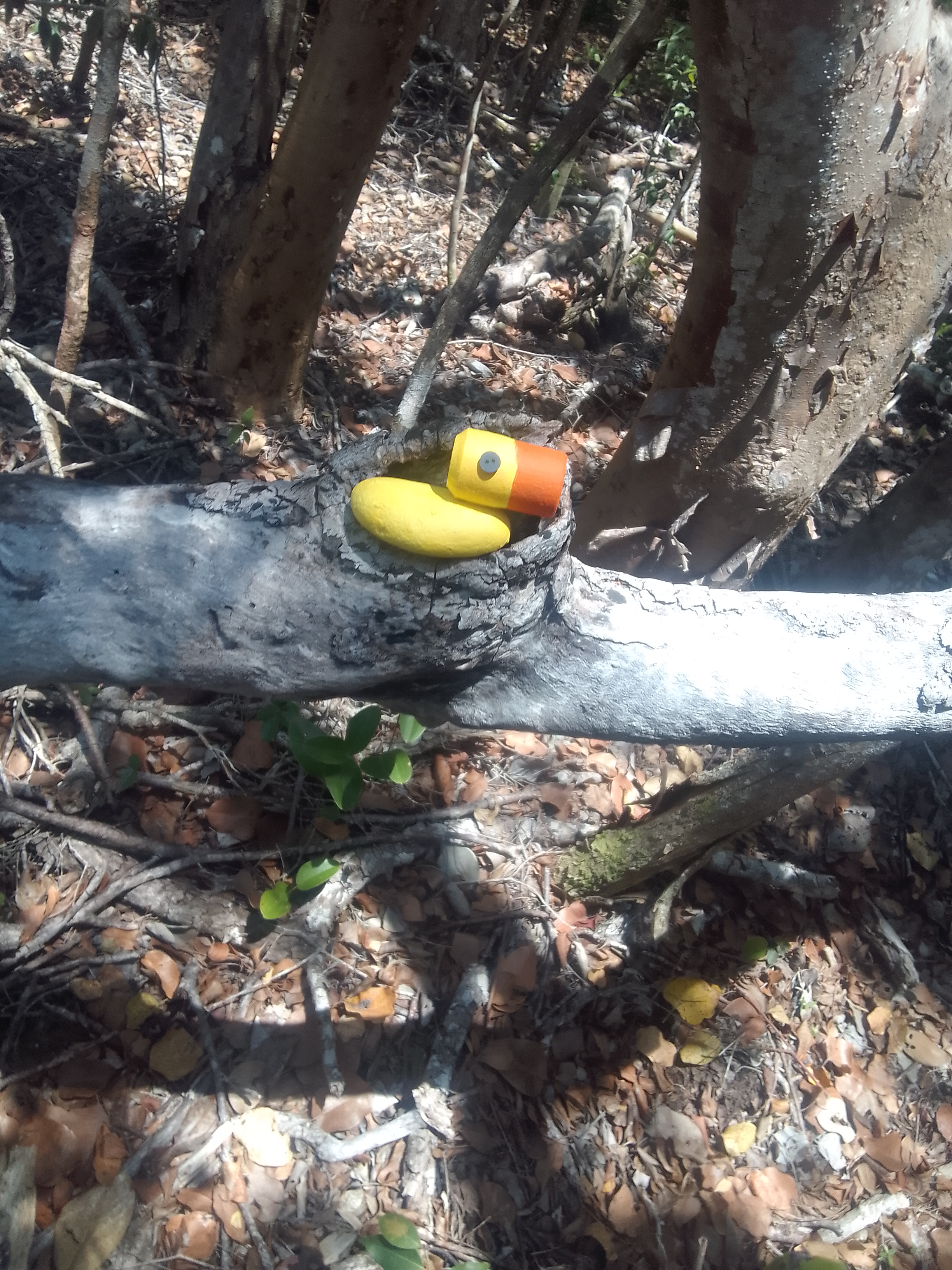
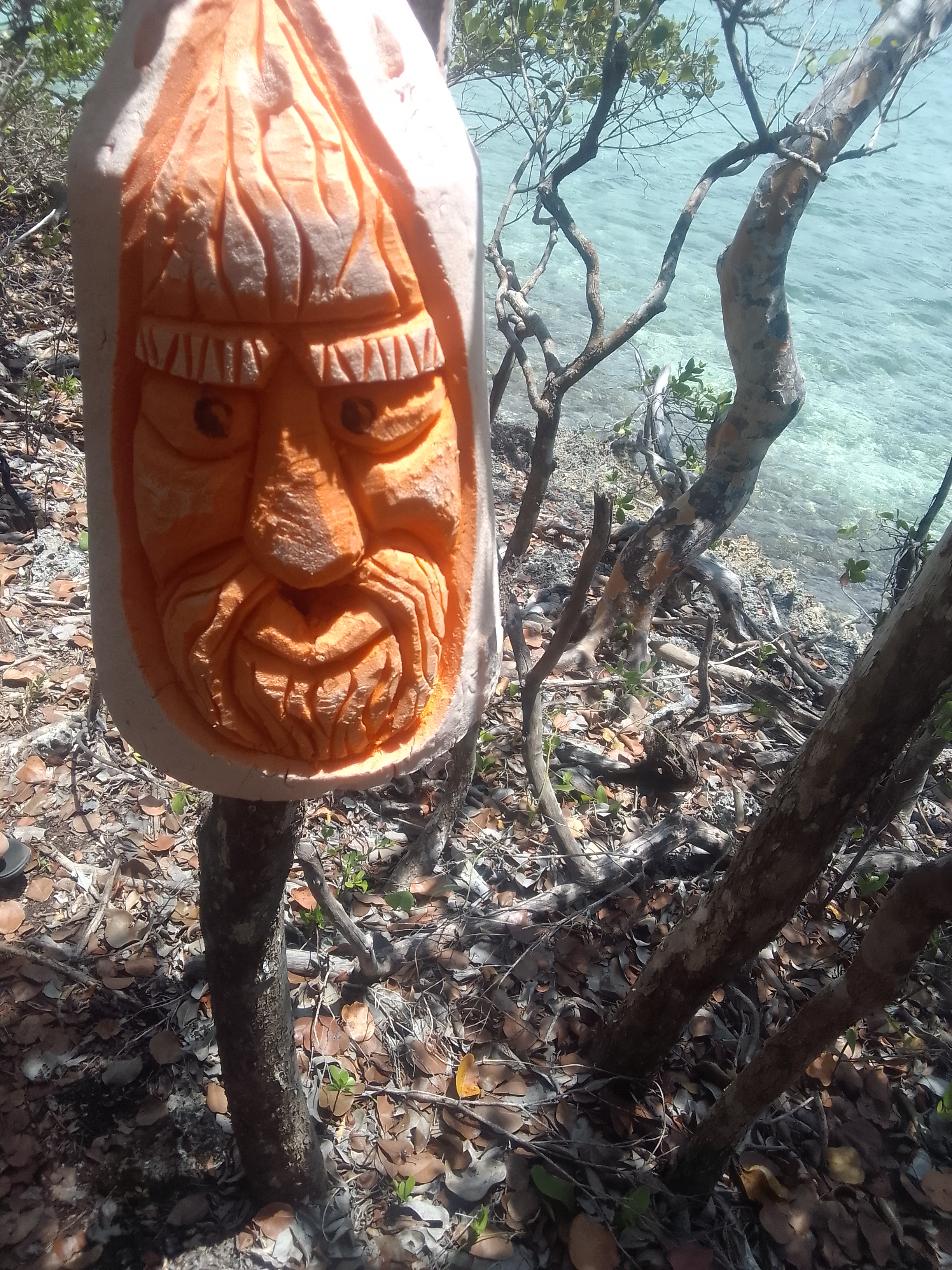
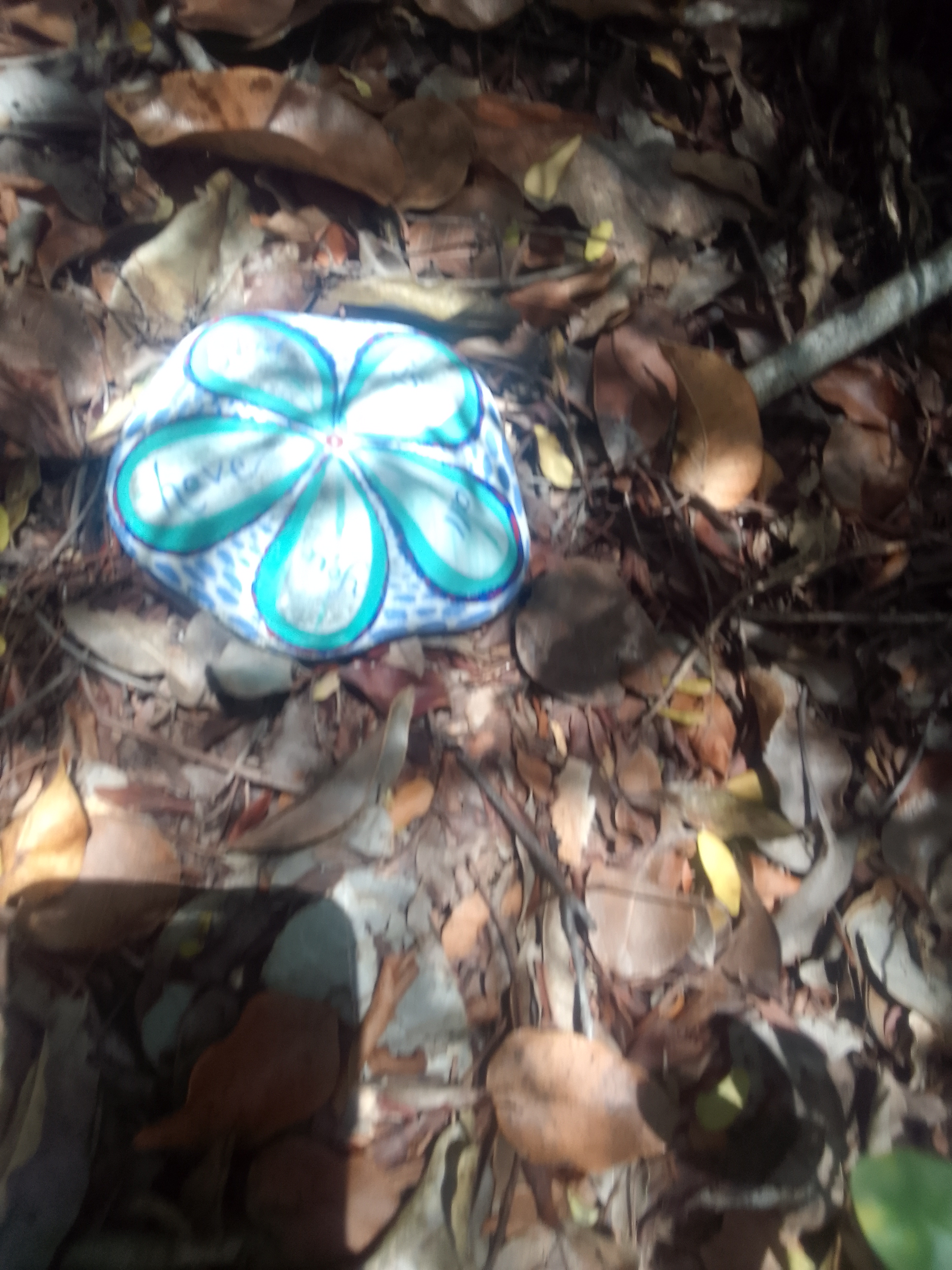
Ashore at Manjack
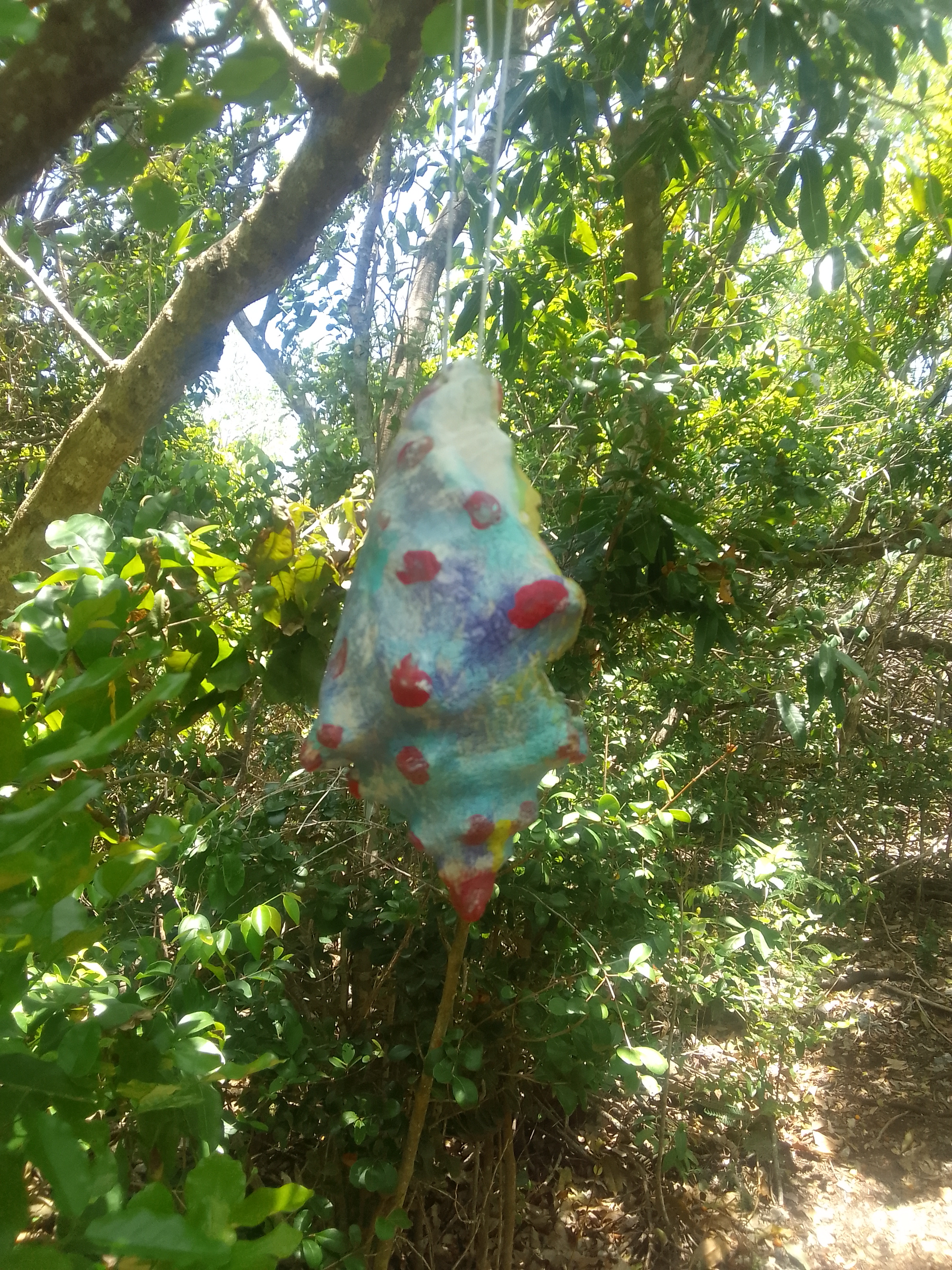
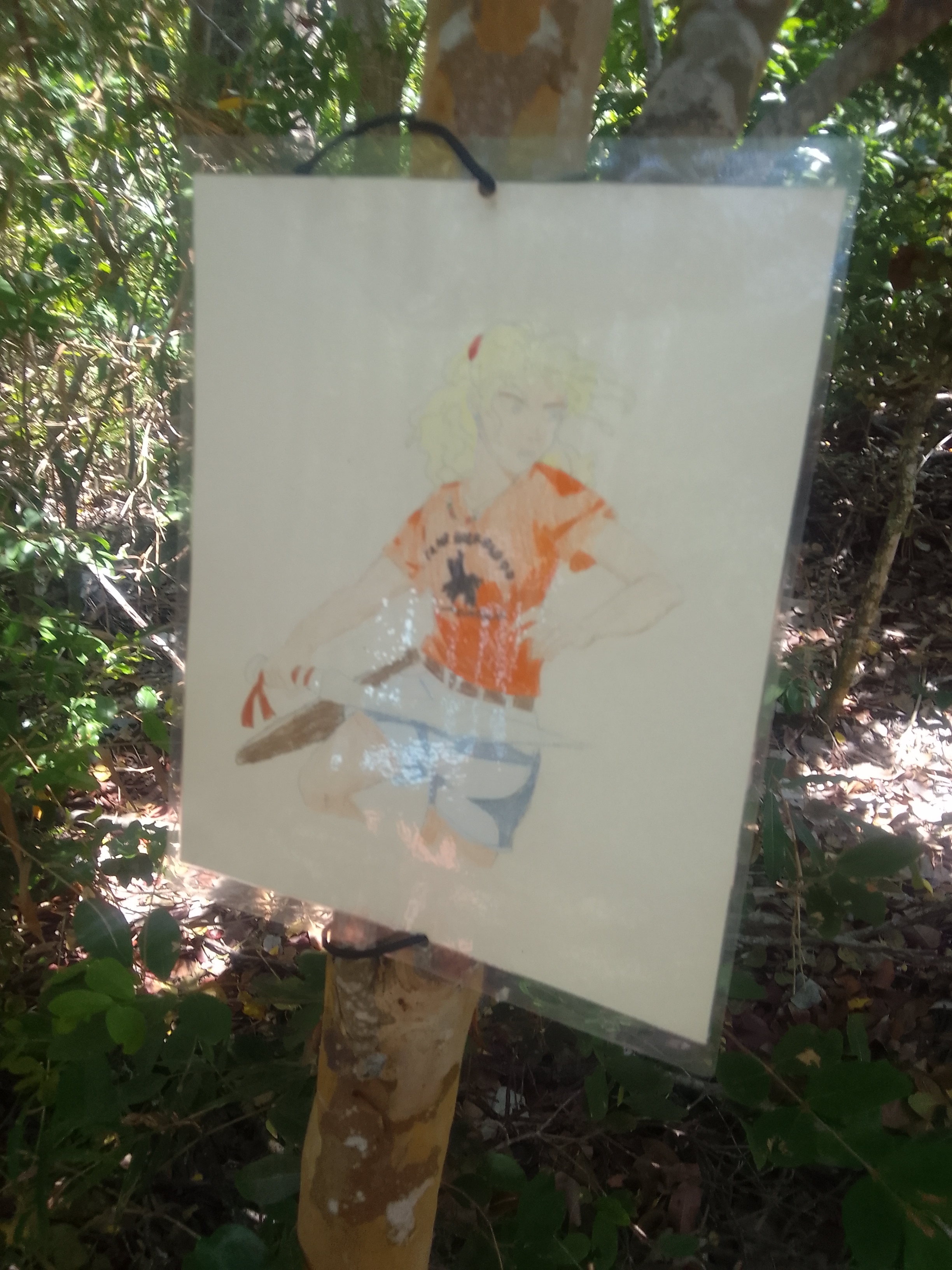
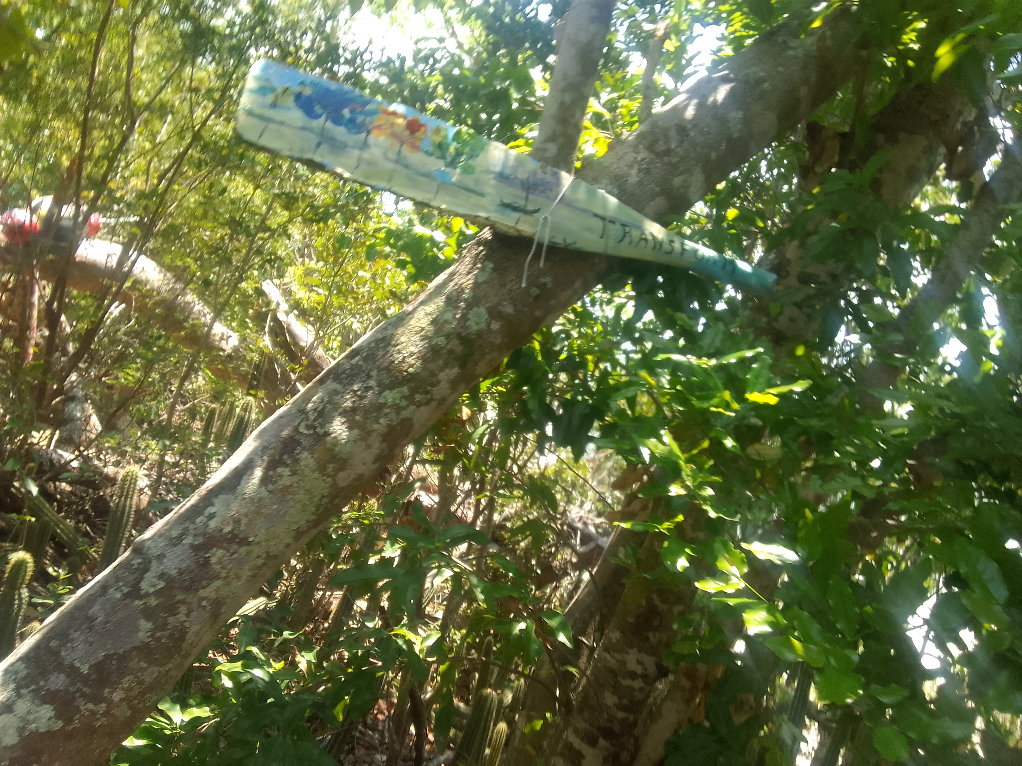
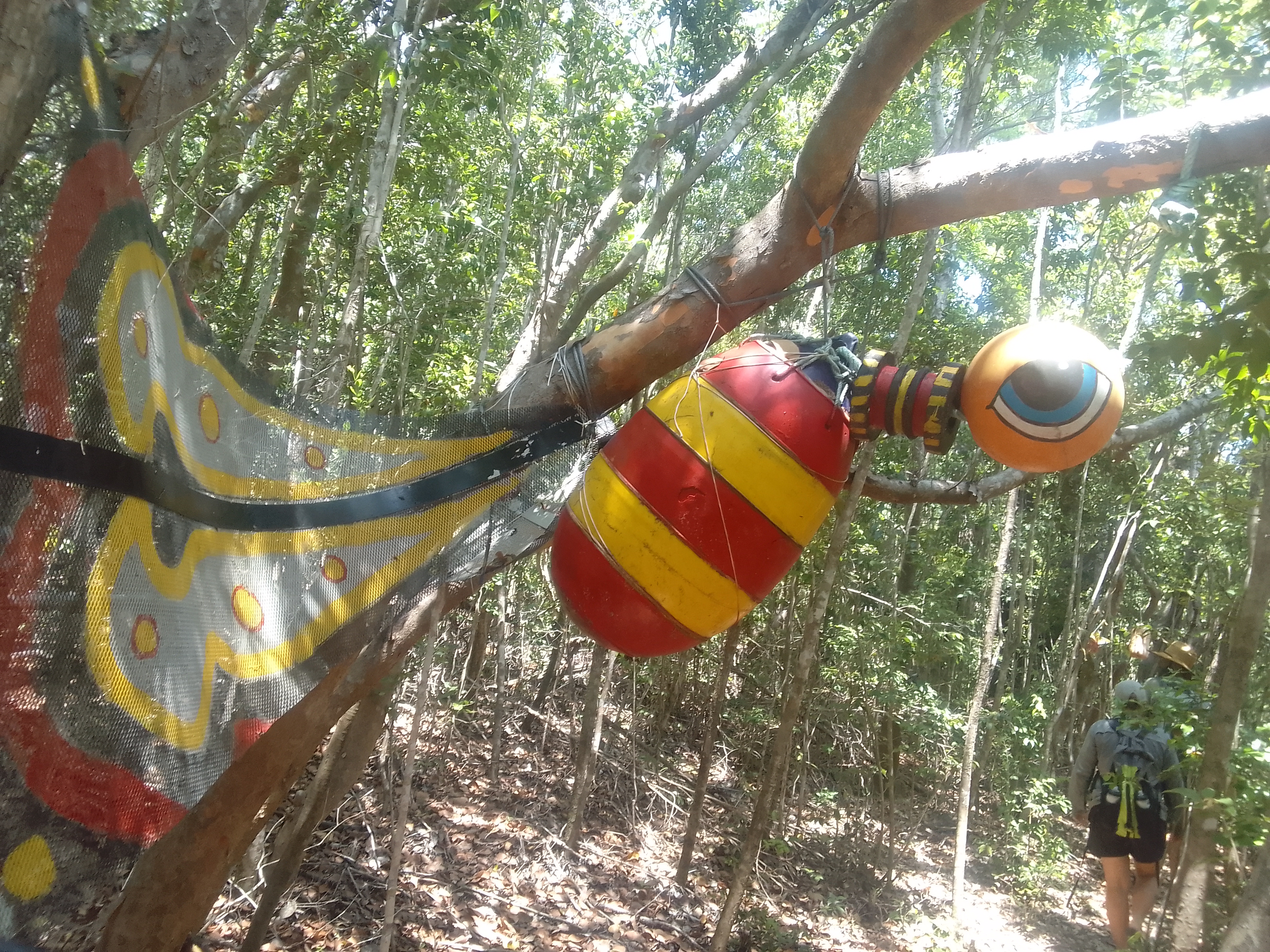
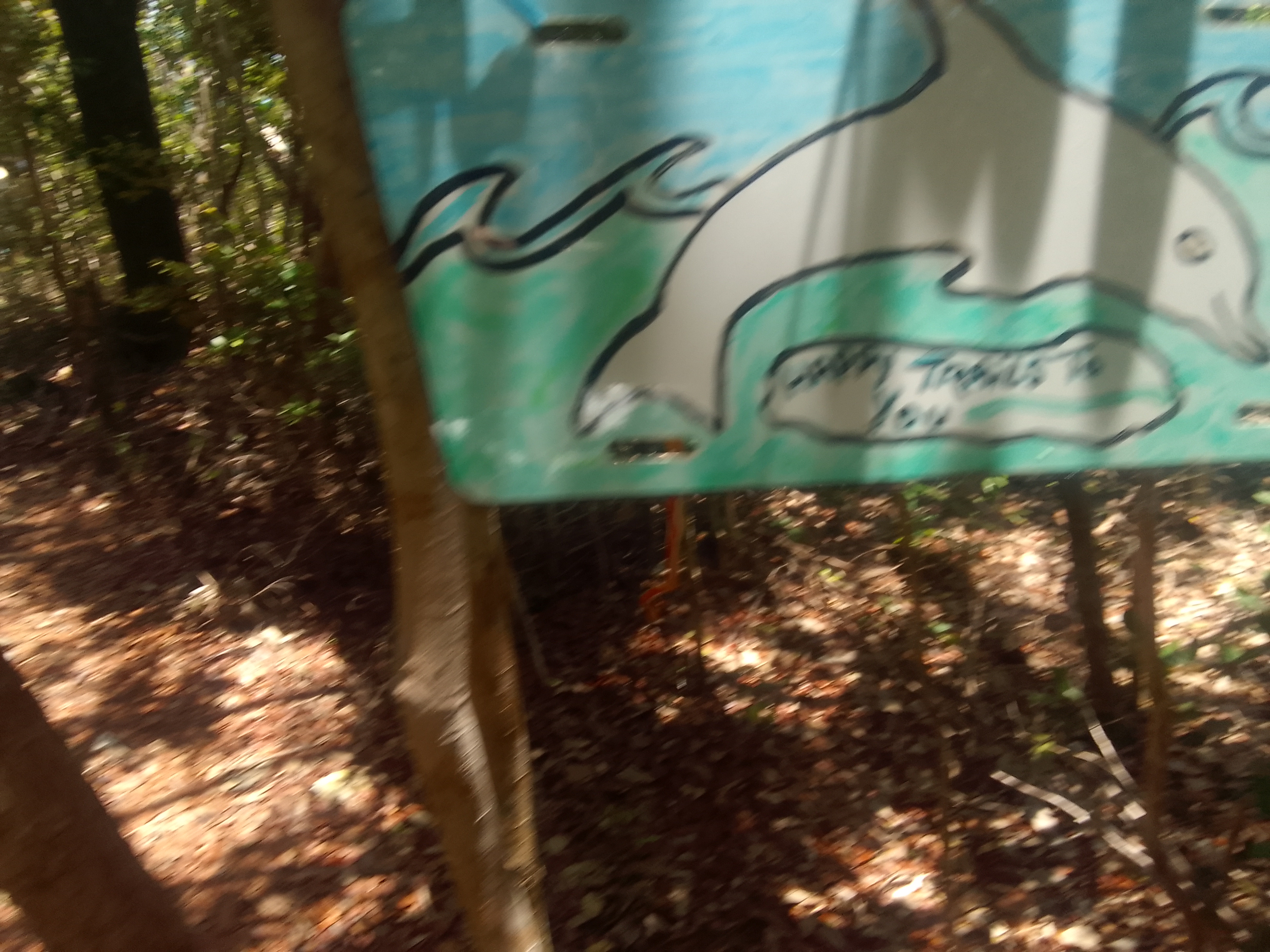
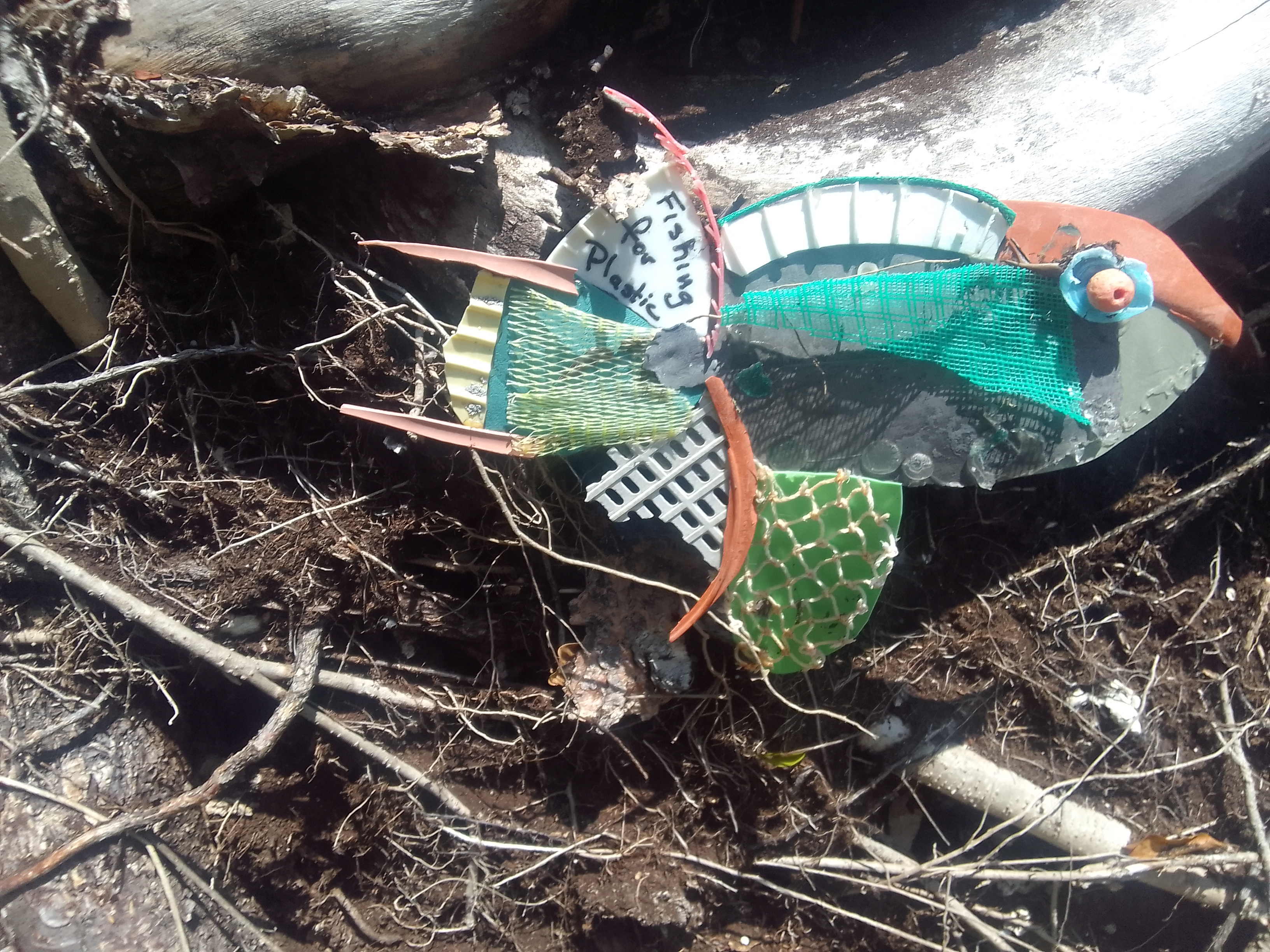
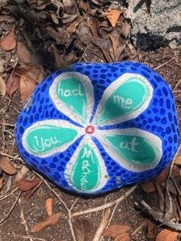
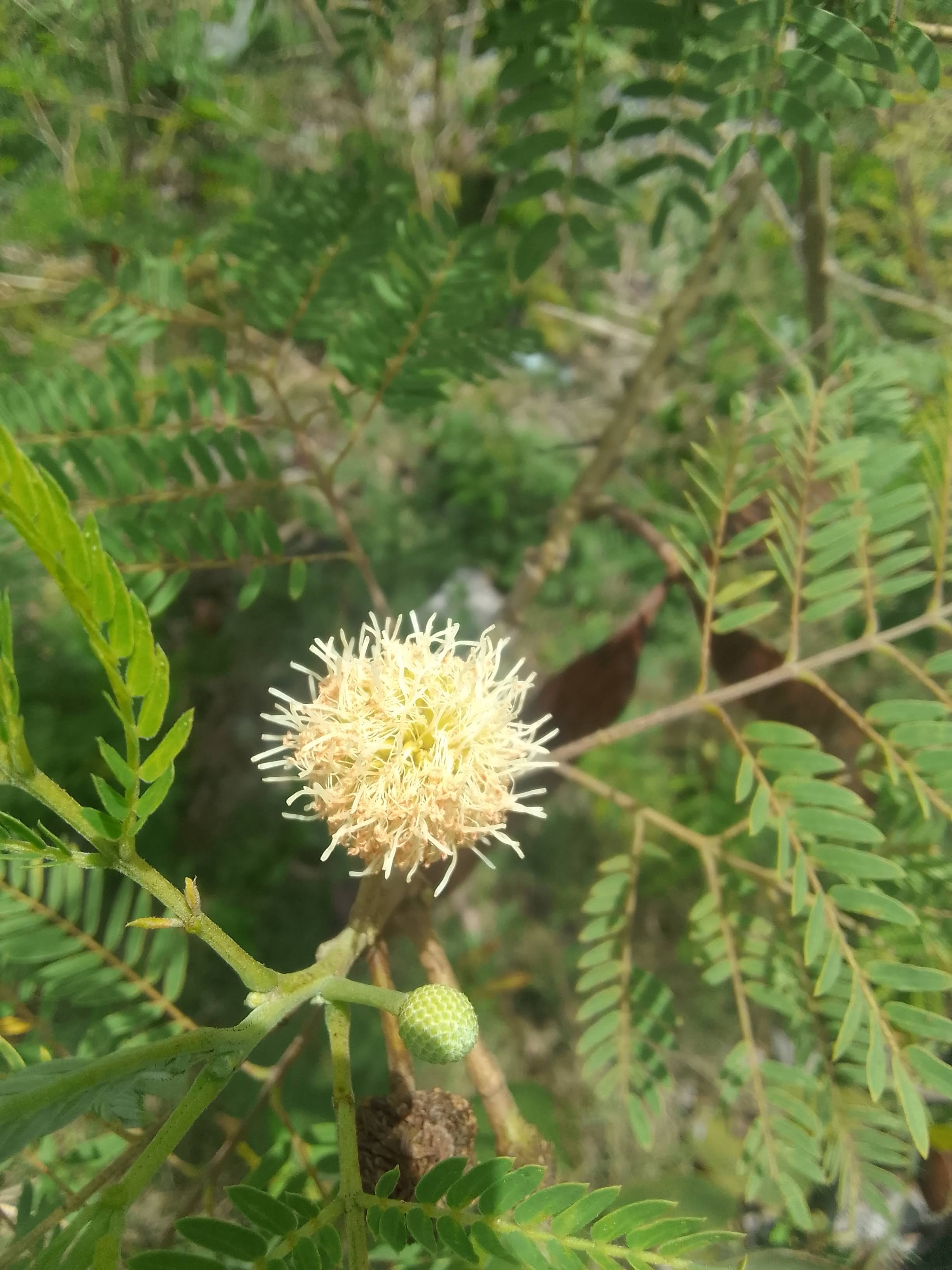
The art trail winds its way through the woods. Boaters leave artifacts – some really elaborate – along the trail. I don’t know if cruisers bring these completed objects with them or make them on their boats. With all of the tools and stuff we carry, we really don’t have room for art supplies (but I wish we did).
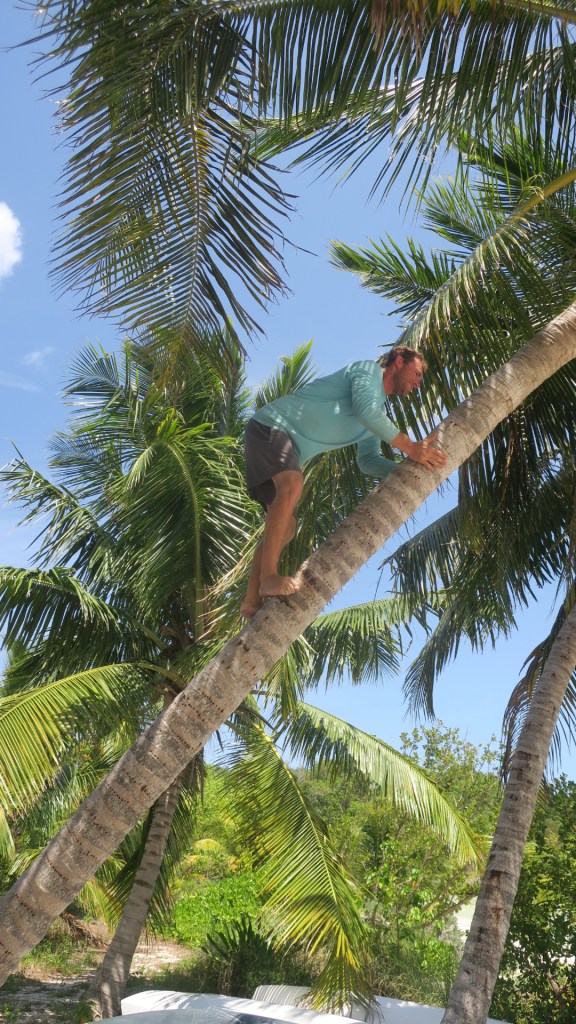
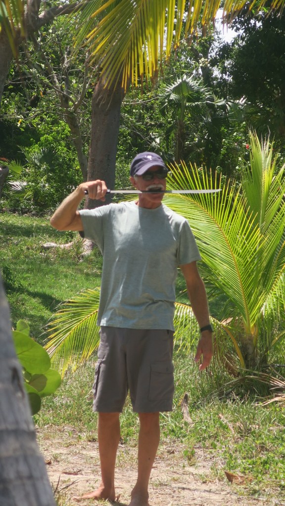
We escaped the art trail mosquitos by hanging out on the beach on the west side of the island. There are a few picnic tables there as well as coconut palms and even a machete. Andy decided we needed coconuts, then the boys used the island machete to open them.
Captain John
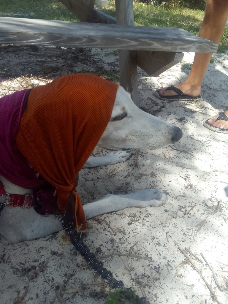
Frank the greyhound – the headwrap is wet to help him keep cool
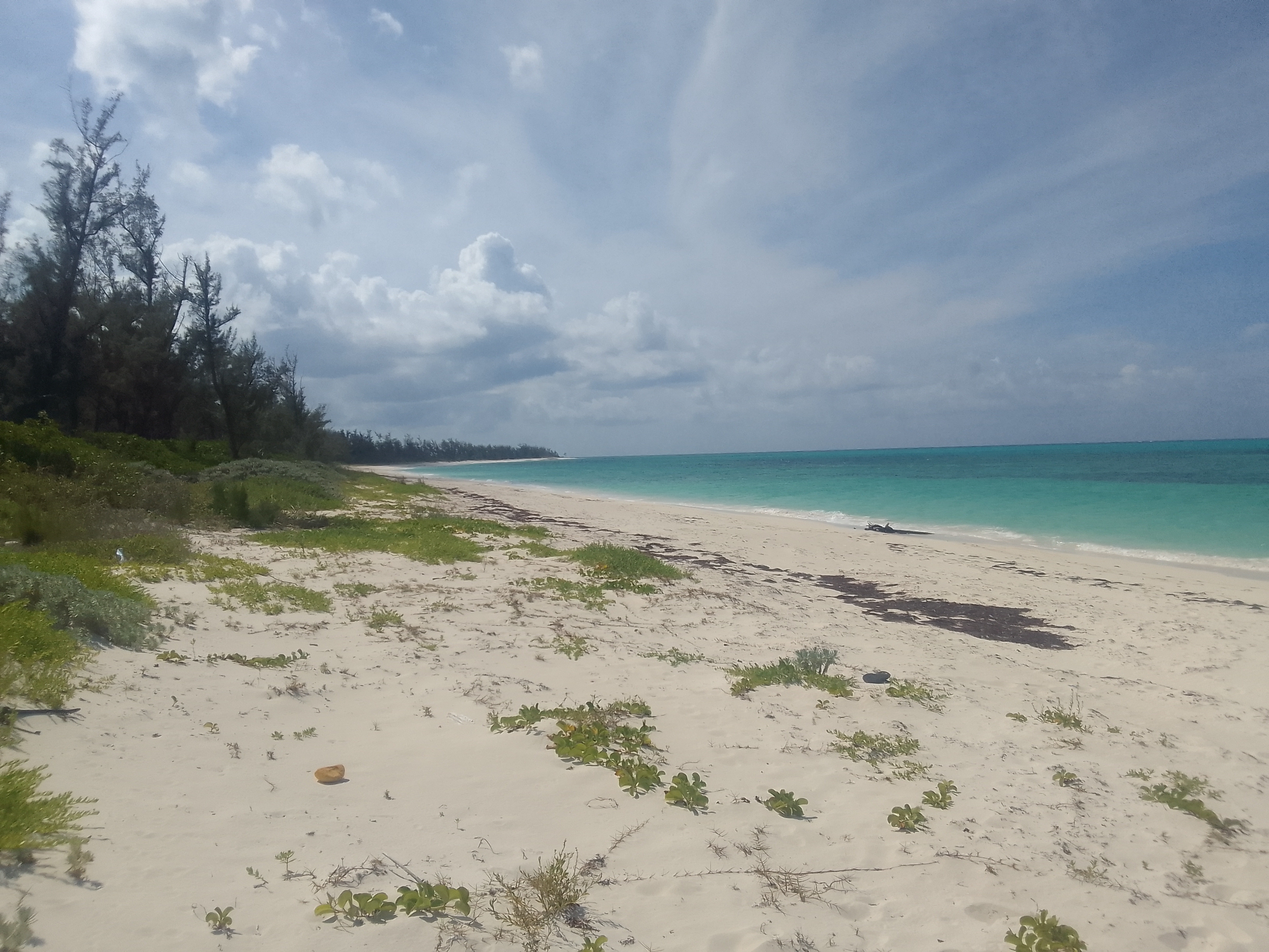
The beach trail was one of the best trails we’ve been on in the Bahamas. Instead of the sharp, pitted rocks and narrow clearances, this trail was wide and mostly sand. It cut across the island to the east side, on the Atlantic Ocean.
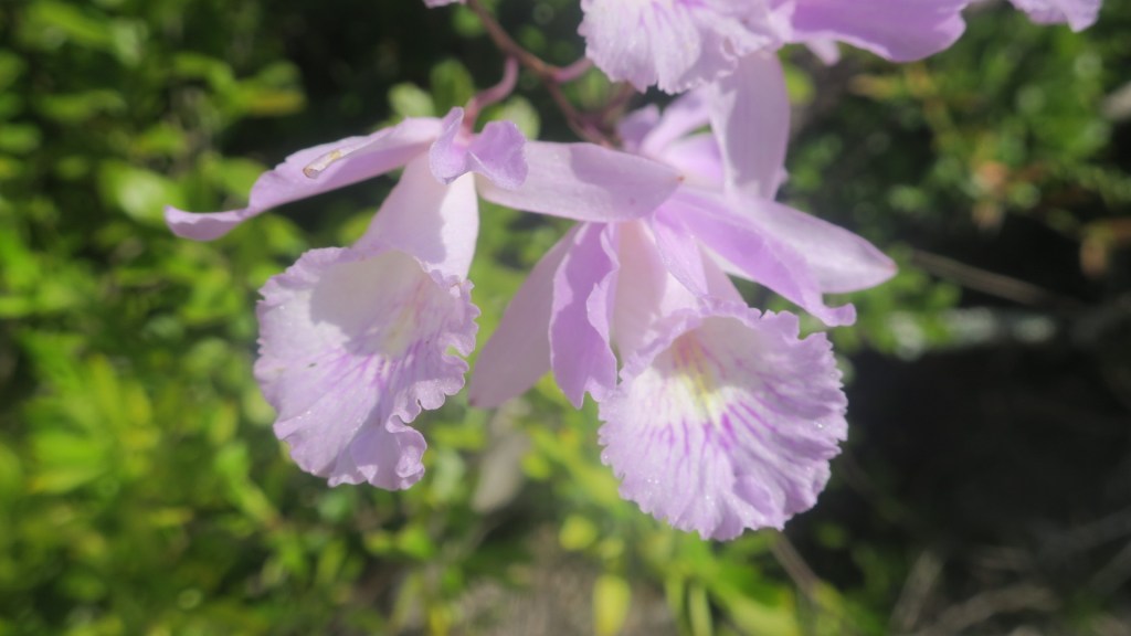
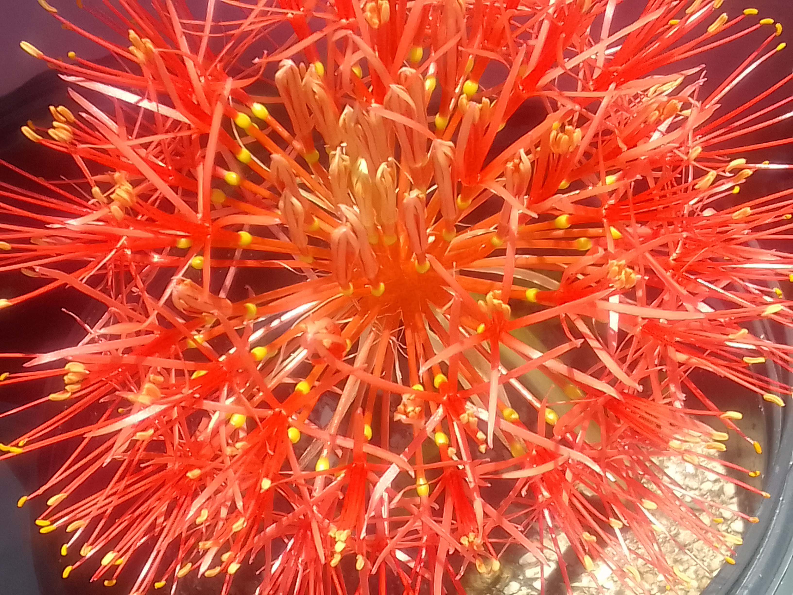
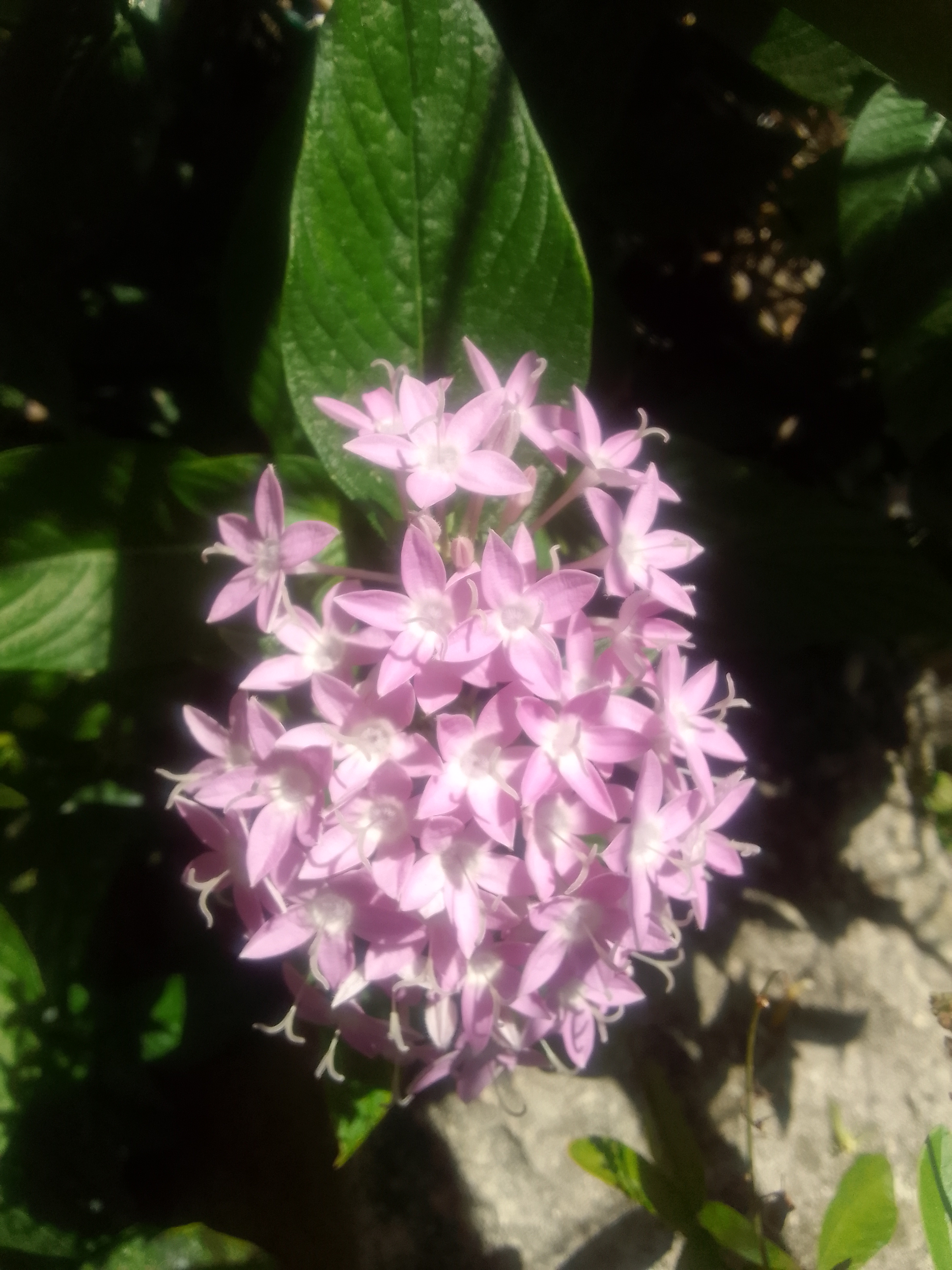
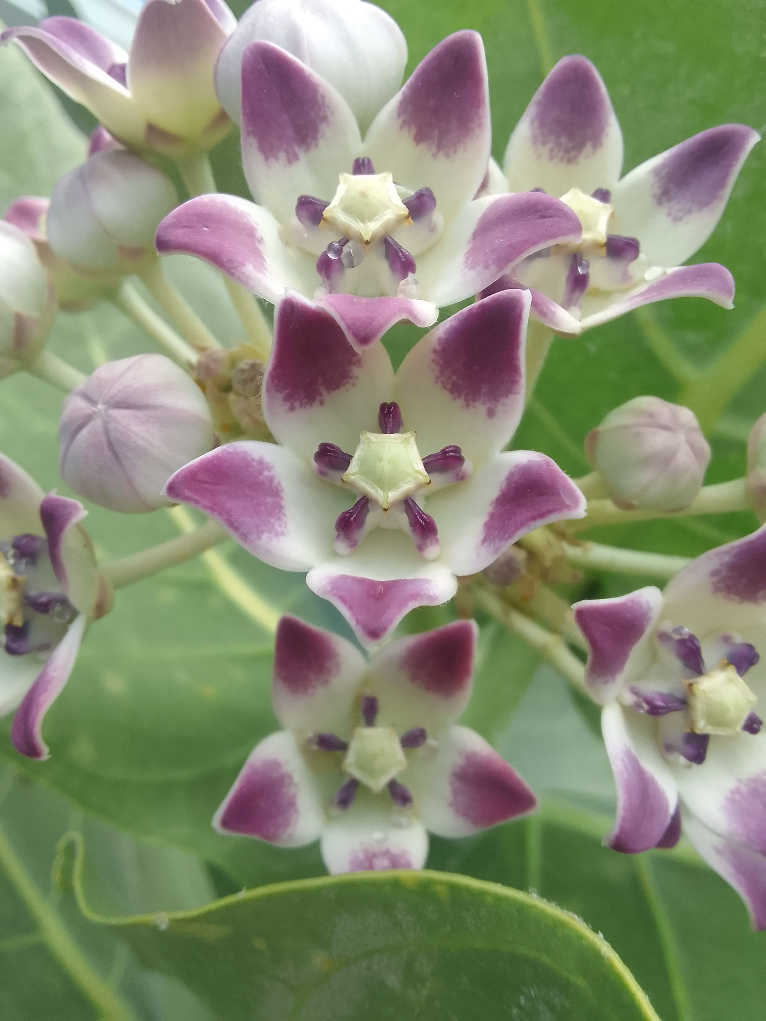
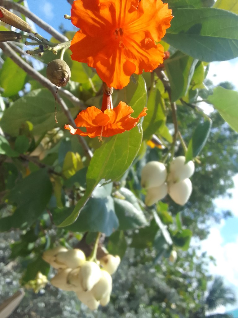
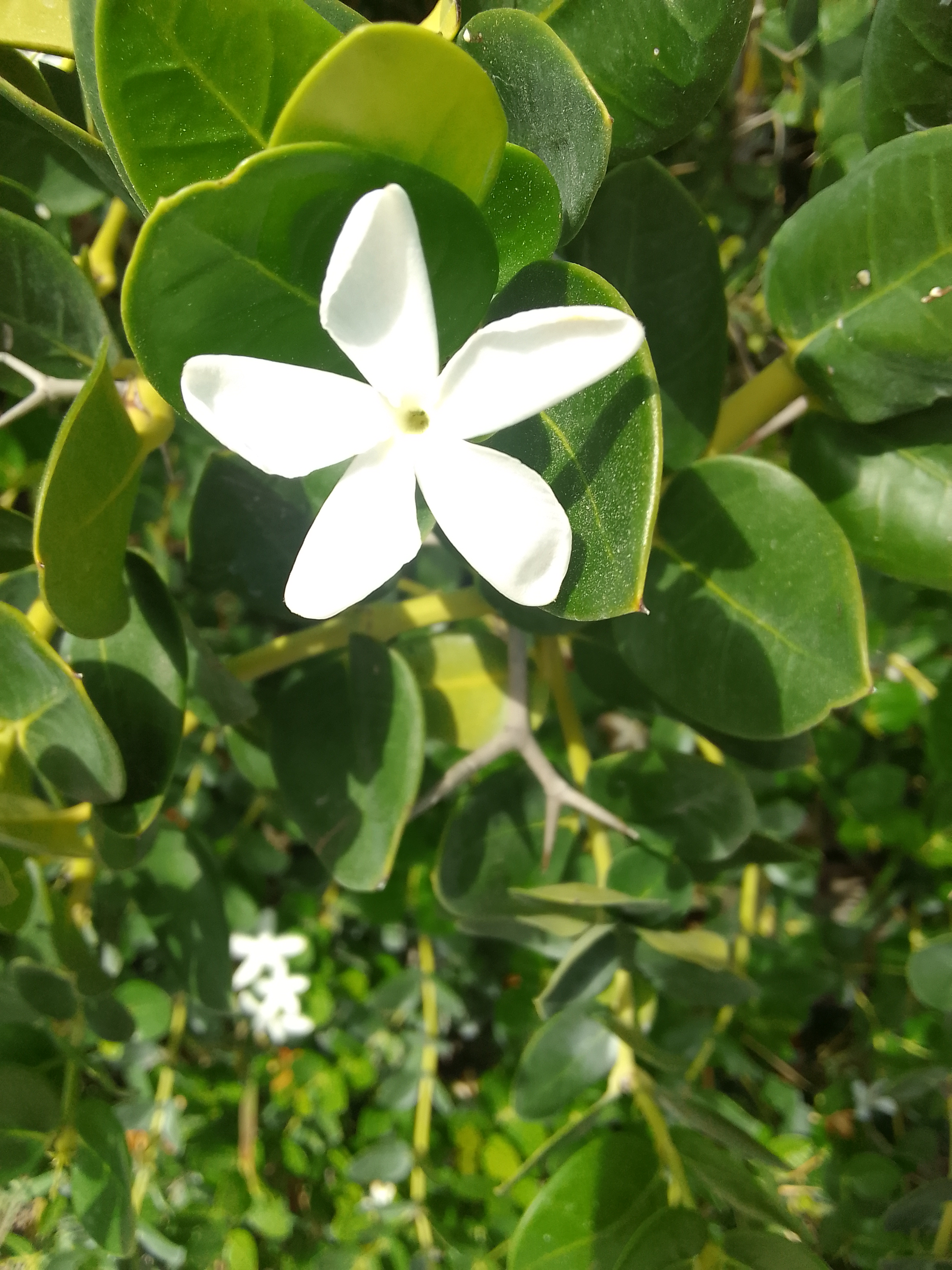
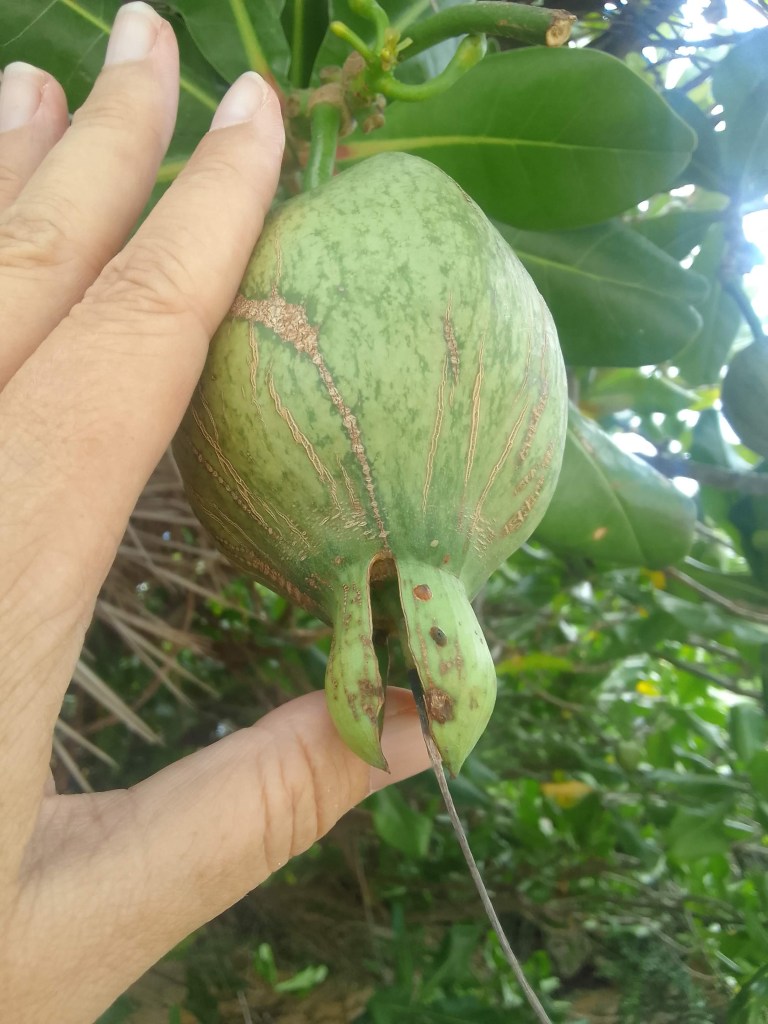
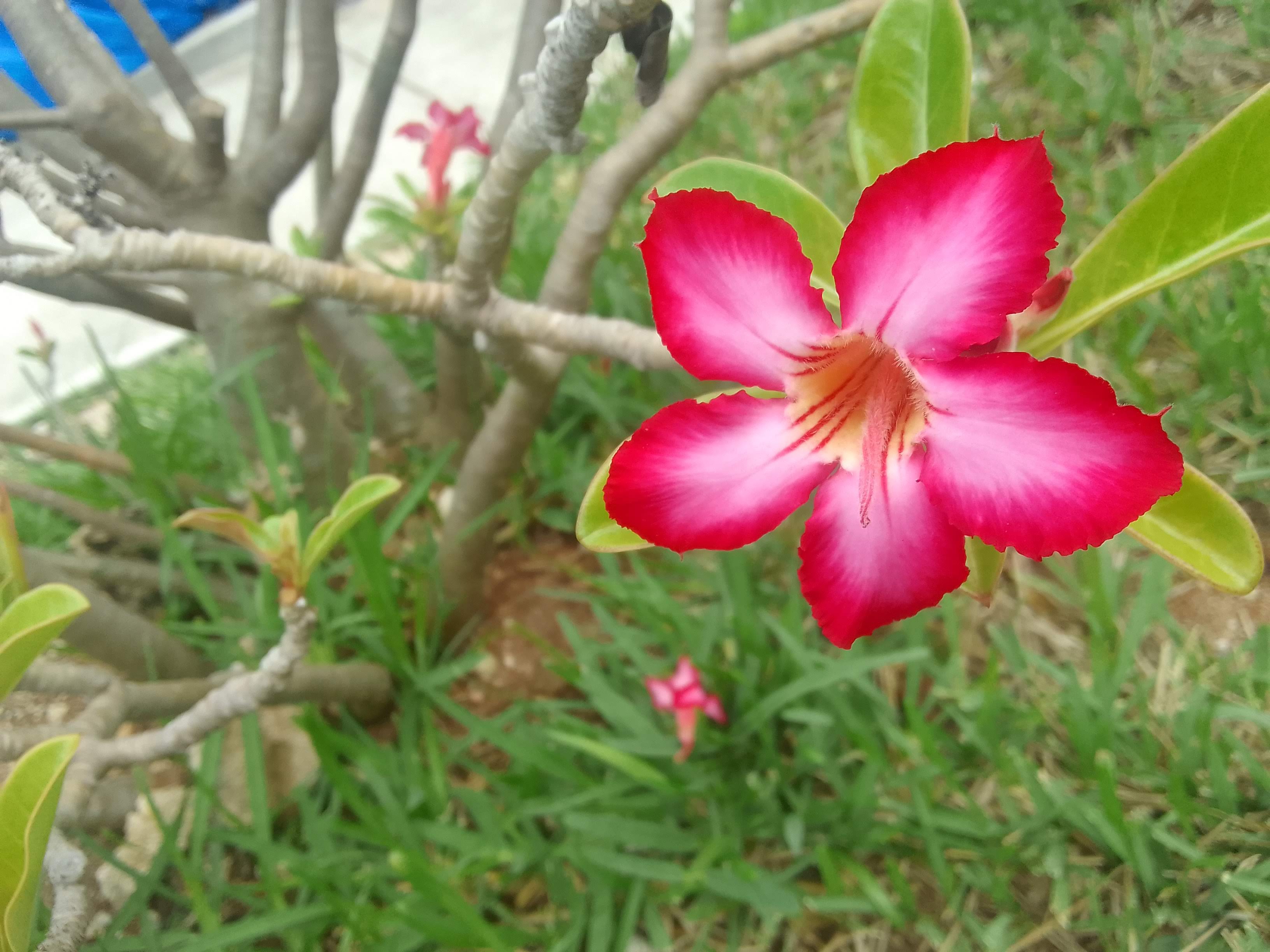
There were actually wild orchids along the trail! Wild. Orchids.
Wild orchidsThe orchids are just to the left of the pineapple bromeliad-ish plant
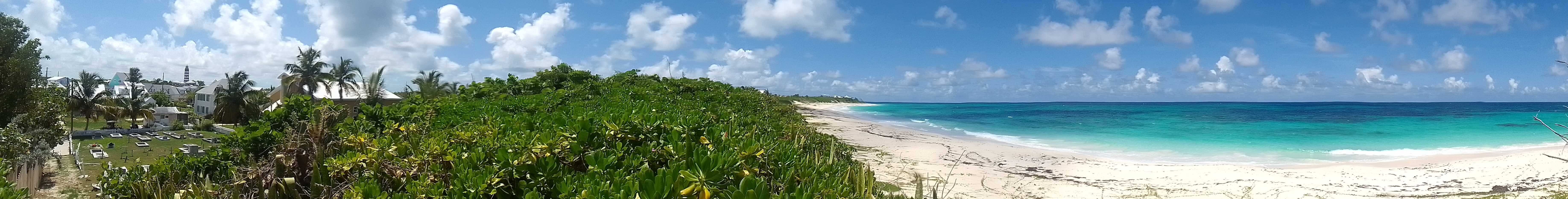
The beach on the Atlantic side did not disappoint, either (it never does).
On the Atlantic side
Tonight is a quiet night with a little rain – we’re going to watch the mdseason finale of Better Call Saul We’re hoping to do another dinghy tour through the mangroves with our flotilla family tomorrow and maybe walk a few more trails. We’re all keeping our eyes on the weather for the next week.
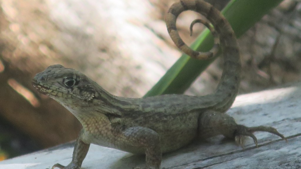
That front is bringing just enough rain to keep Lailia buttoned up but not enough to cool it downLoving that curly tail!
Black Point Sound, Green Turtle Cay, Abacos, Bahamas (anchored)
May 26, 2022
(This entire post – except for photos – was lost last night when the internet went wonky).
Once again, we were foolhardy and made plans. The original plan was to go to town walk around for a little bit, grab coffee and maybe a pastry at a local coffee shop, and make the 3 mile hop to Manjack Cay.
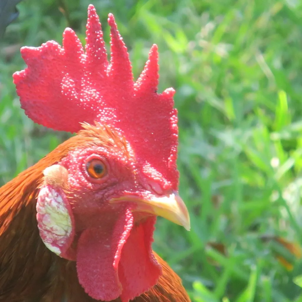
A Bahamian rooster buddy – this one was pretty friendly
What really happened is that we liked the town so much that we explored, grabbed brunch, decided we could easily go to Manjack tomorrow, explored some more, stopped for drinks, and walked a little more. It’s such a delight to change plans because we are having fun and not because of something breaking. Having our flotilla family (they started as boat buddies and moved up the hierarchy) just adds another layer of happiness.
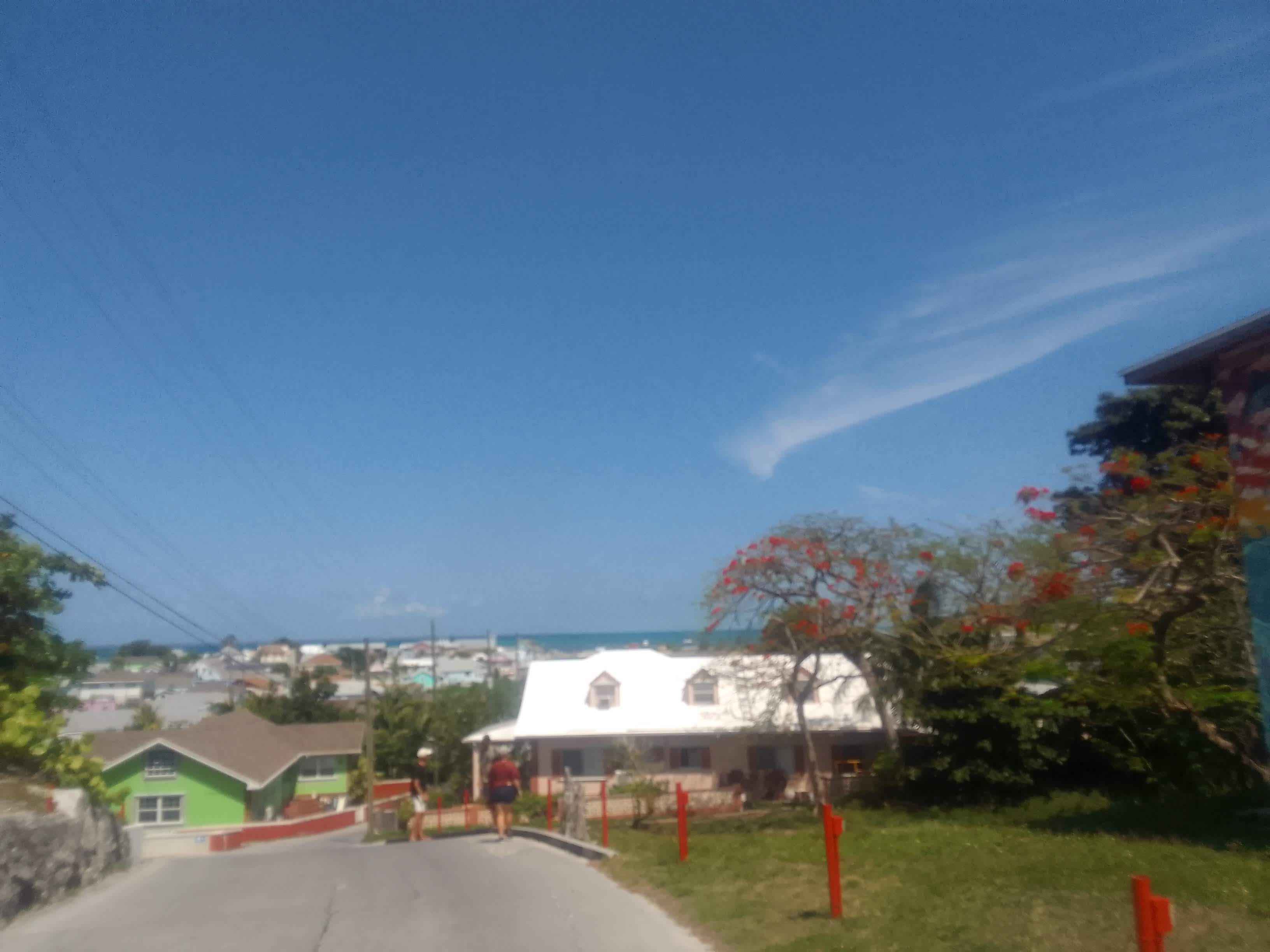
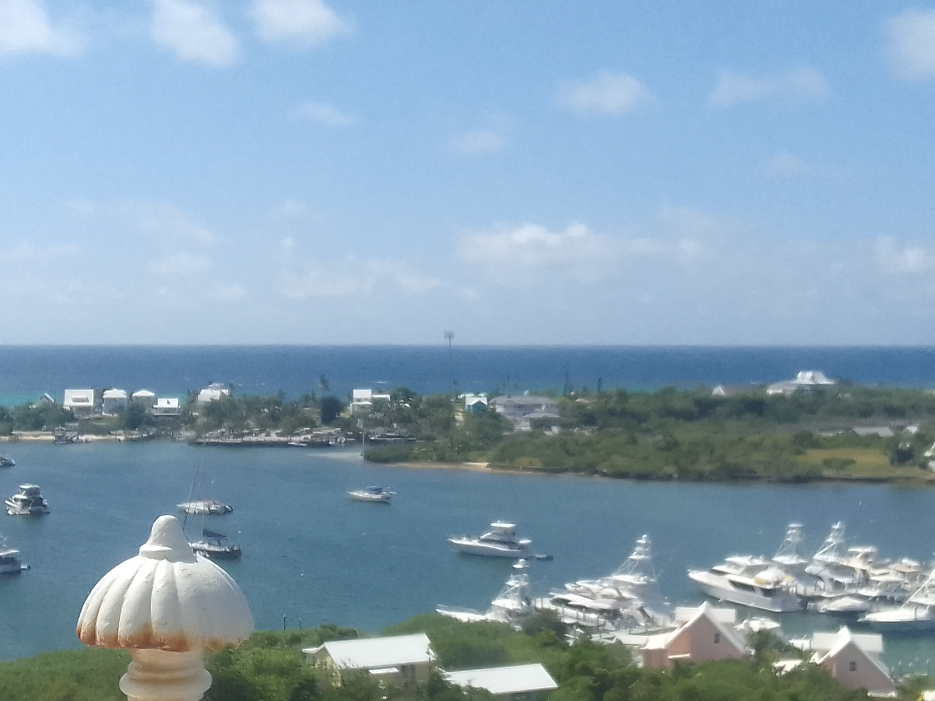
From a high point, looking across the town
The town of New Plymouth was established around 1786 by English Loyalists who left the United States after the American Revolutionary War. Like the Pilgrims of Plymouth, Massachusetts, the Loyalists were fleeing persecution for being on the wrong side of history.
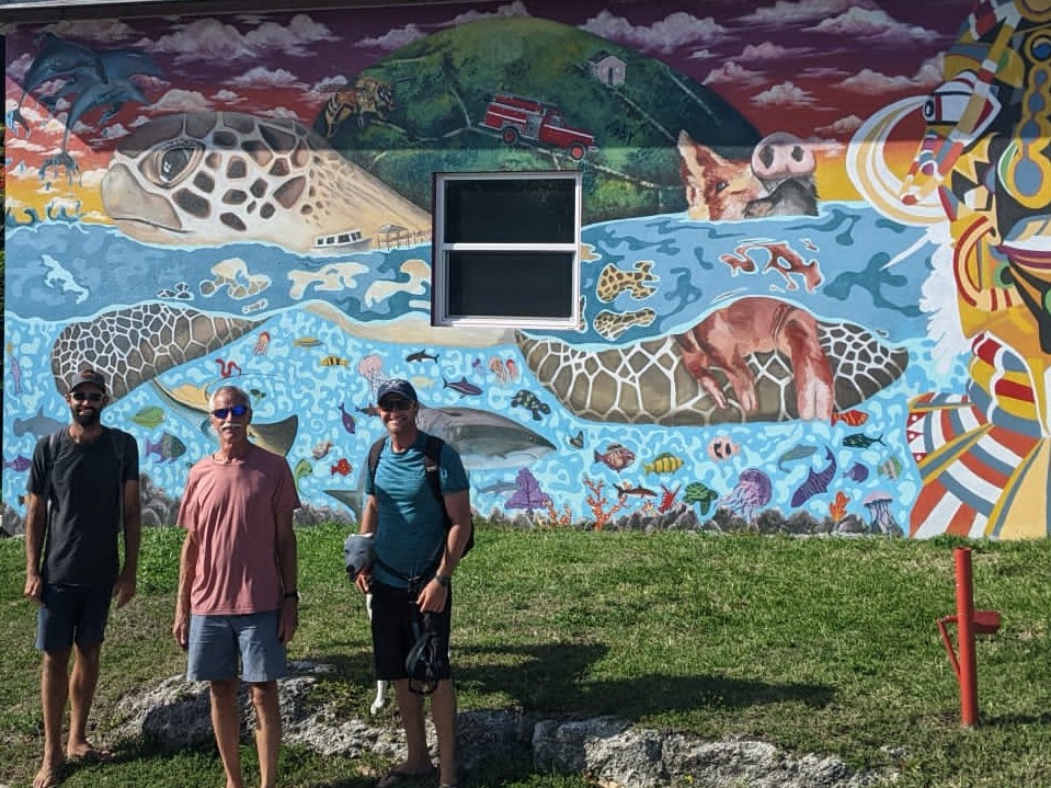
Nicki, Casey, and meEric, John, and Andy
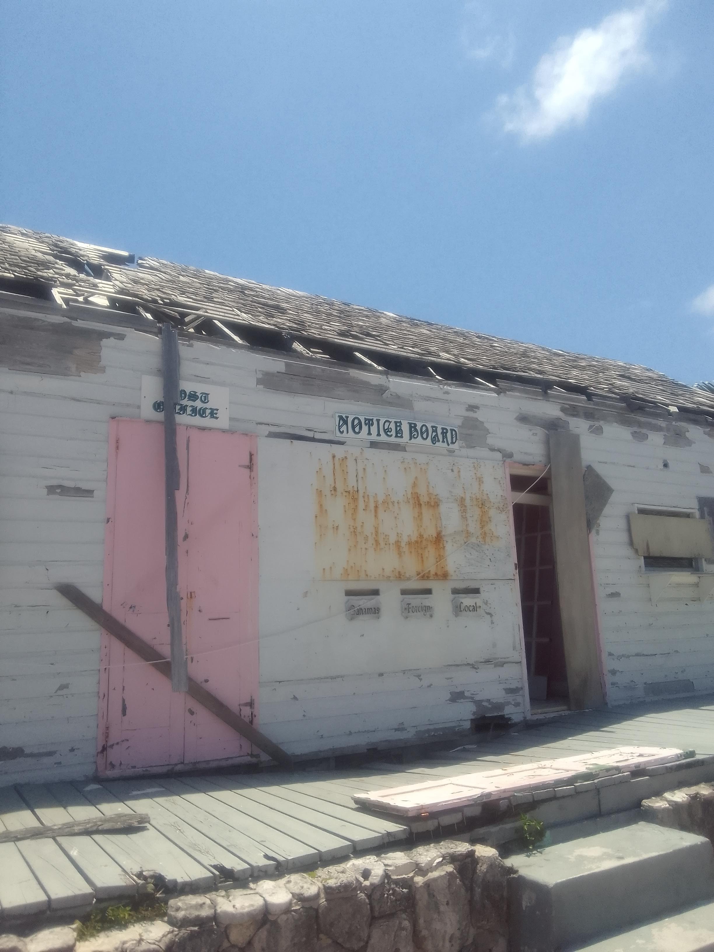
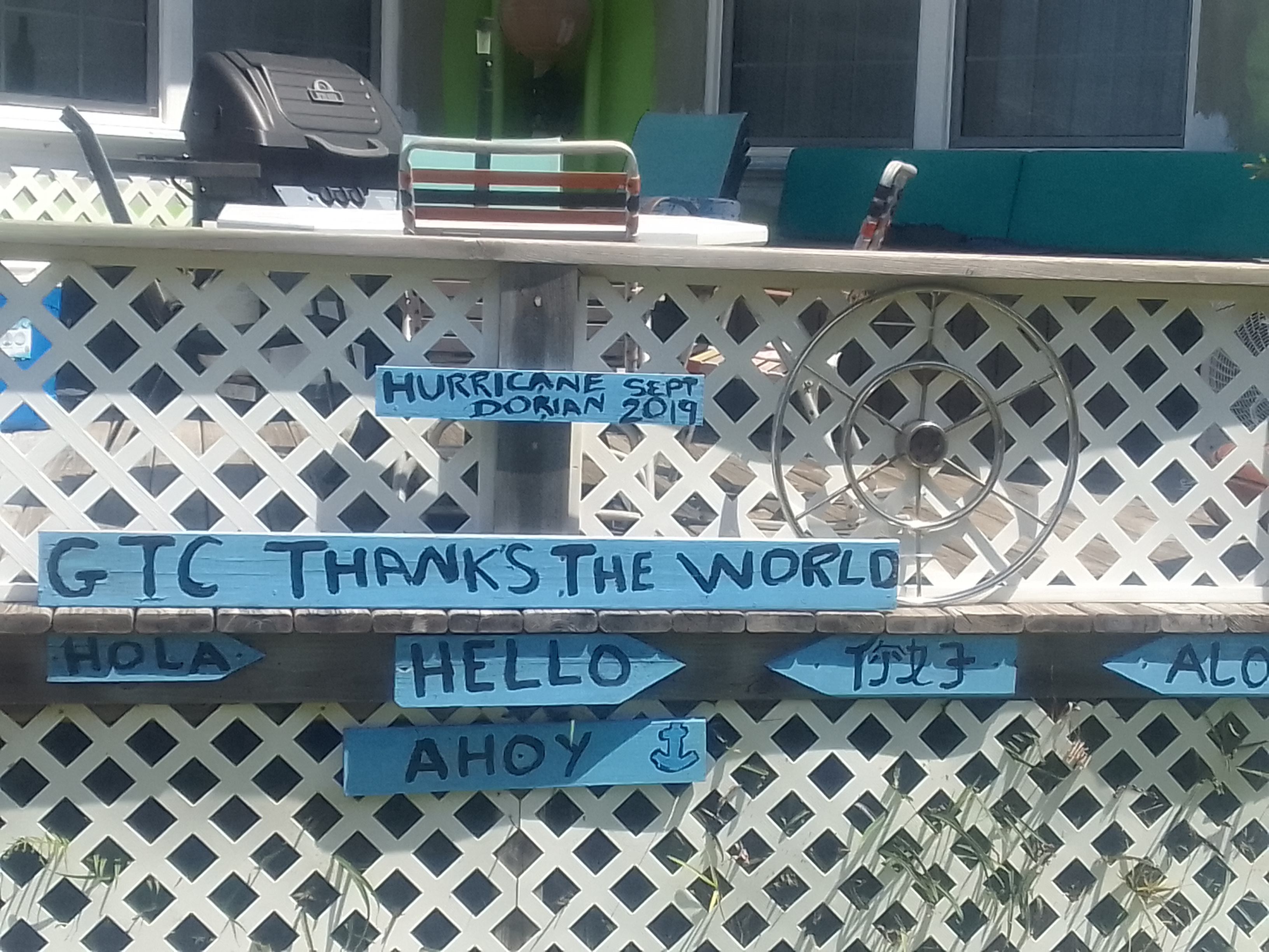
New Plymouth, like most of the Abacos and Grand Bahama, suffered a great deal of damage from Hurricane Dorian in September of 2019 and the husks of buildings in varying levels of damage are all over.
Message on a fence
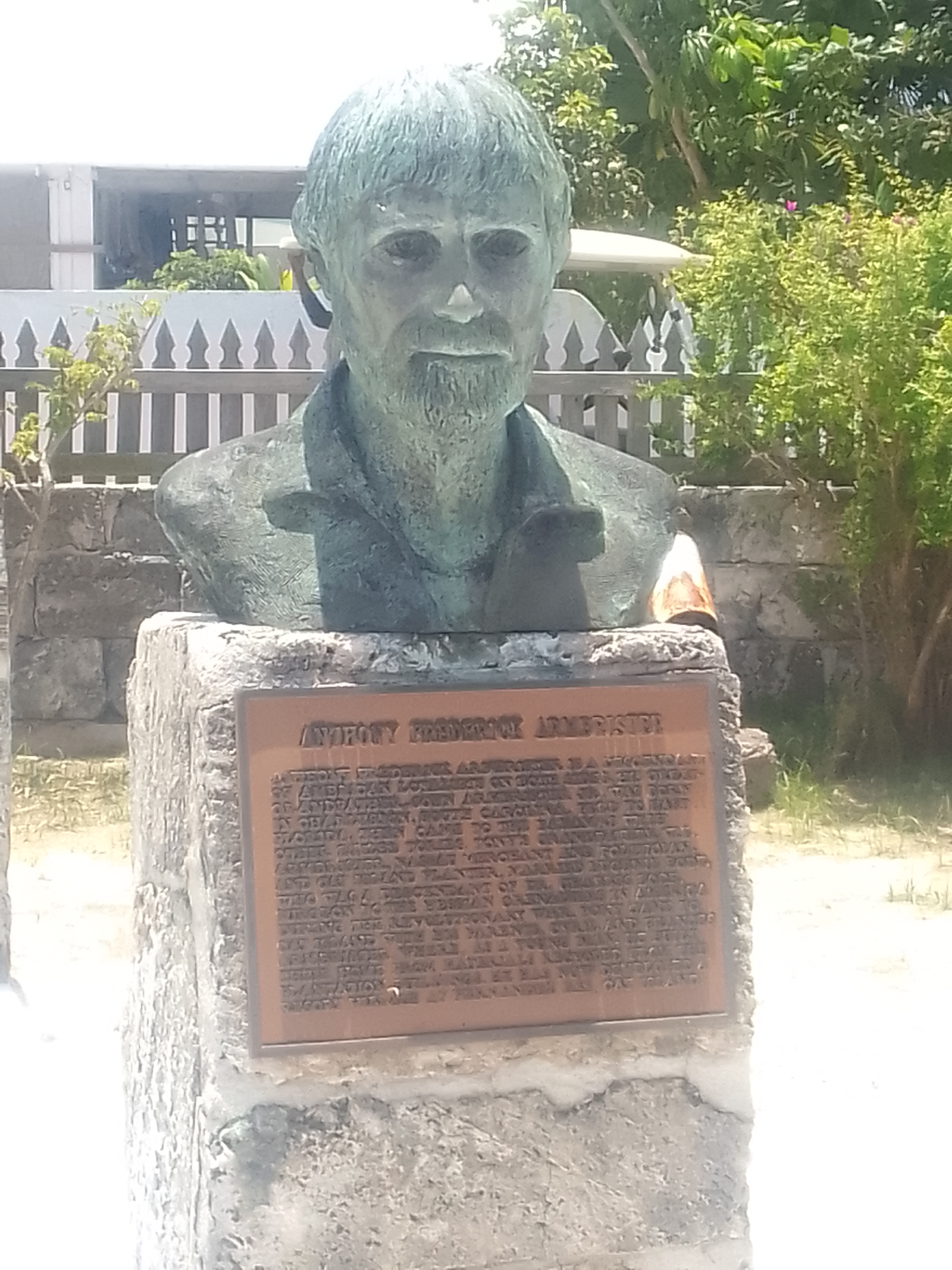
The folks of New Plymouth are proud of their history. They’ve erected a Loyalist Memorial Garden containing busts of prominent Bahamians and explaining their significance to the history of the area. There’s also a historical marker identifying the persecution and verbal abuse the Loyalists experienced in the United States after the colonists won their independence. American history classes don’t spend time discussing this at all.
I can’t imagine how tough and determined the Loyalists were – those who traveled to the Bahamas not only were forging new ground, but they had to know that they would probably never set foot back in either the United States or Britain again. They cut lumber on Abaco Island, fished, hunted turtles, and over time built cotton plantations on the islands – and yes, the folks that came here were probably fairly prosperous already and were no doubt granted favors from England.
In the statue garden
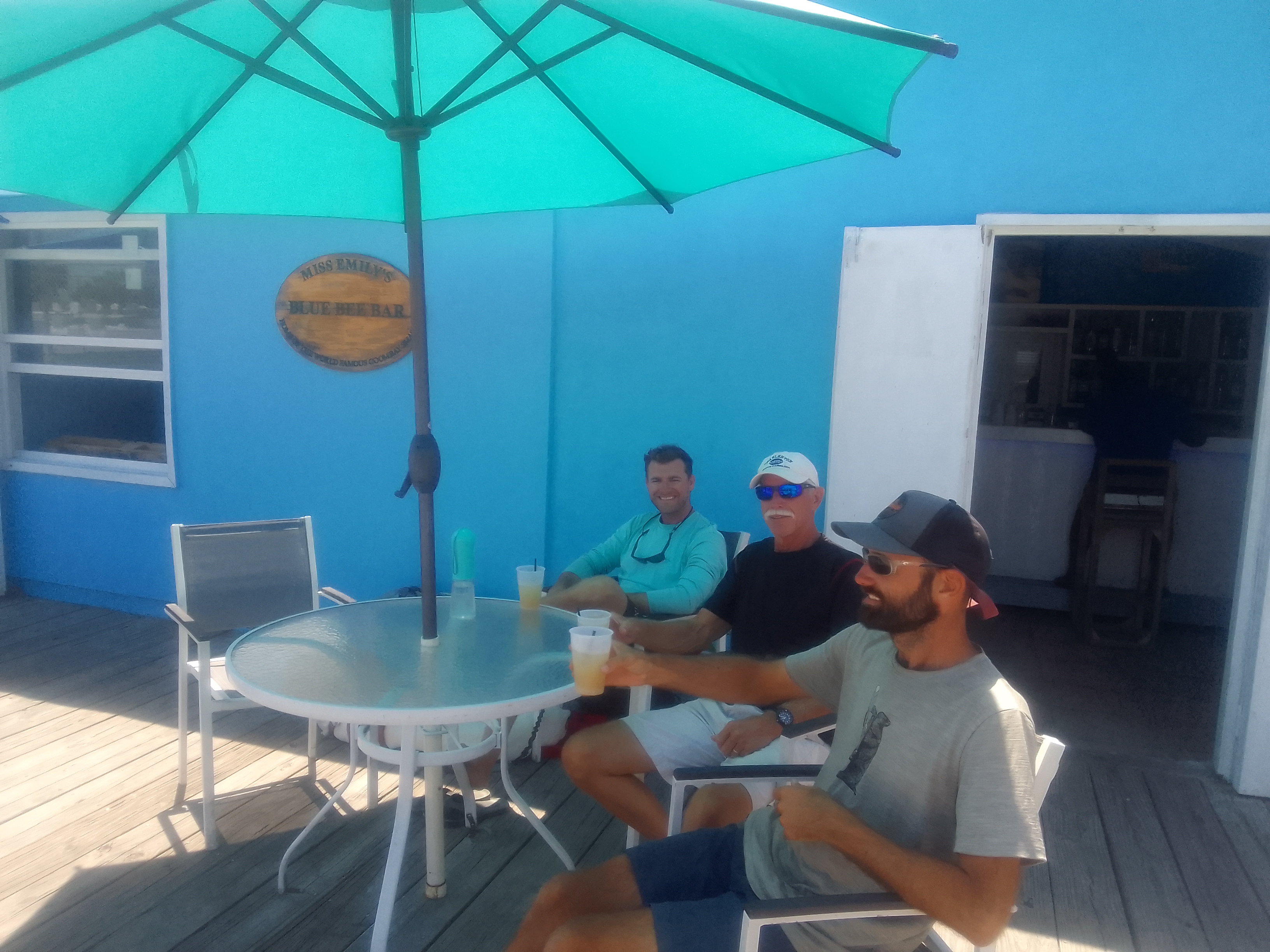
A more delicious historical moment for Green Turtle is that the Goombay Smash was invented by Miss Emily at the Blue Bee Bar. This recipe is often imitated (in fact there is a very popular canned soft drink of the same name) but the recipe is a family secret.
Tasting history – an important way to learn
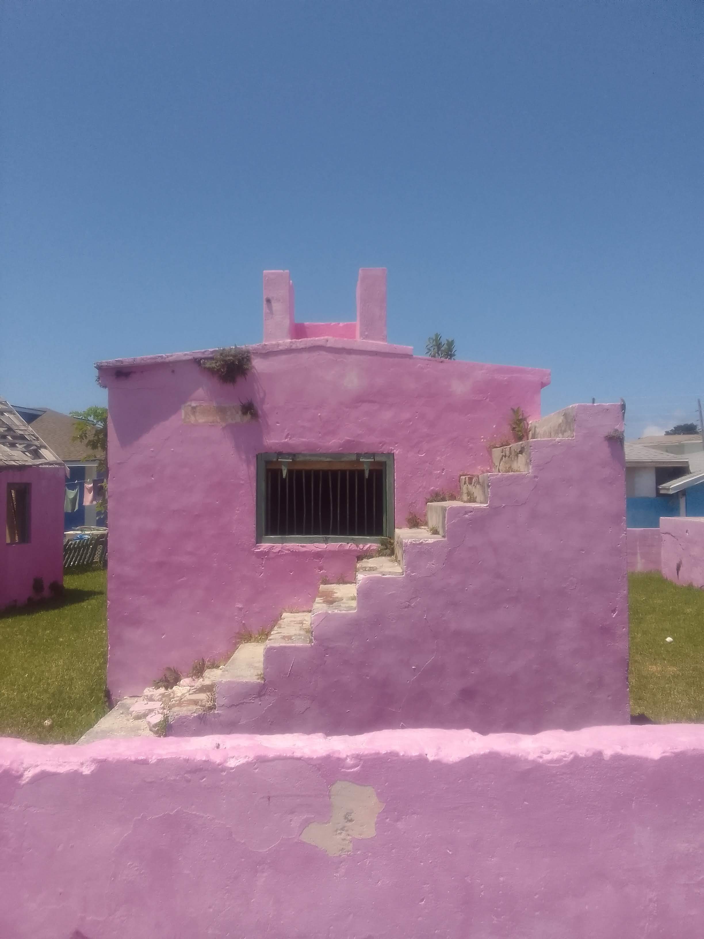
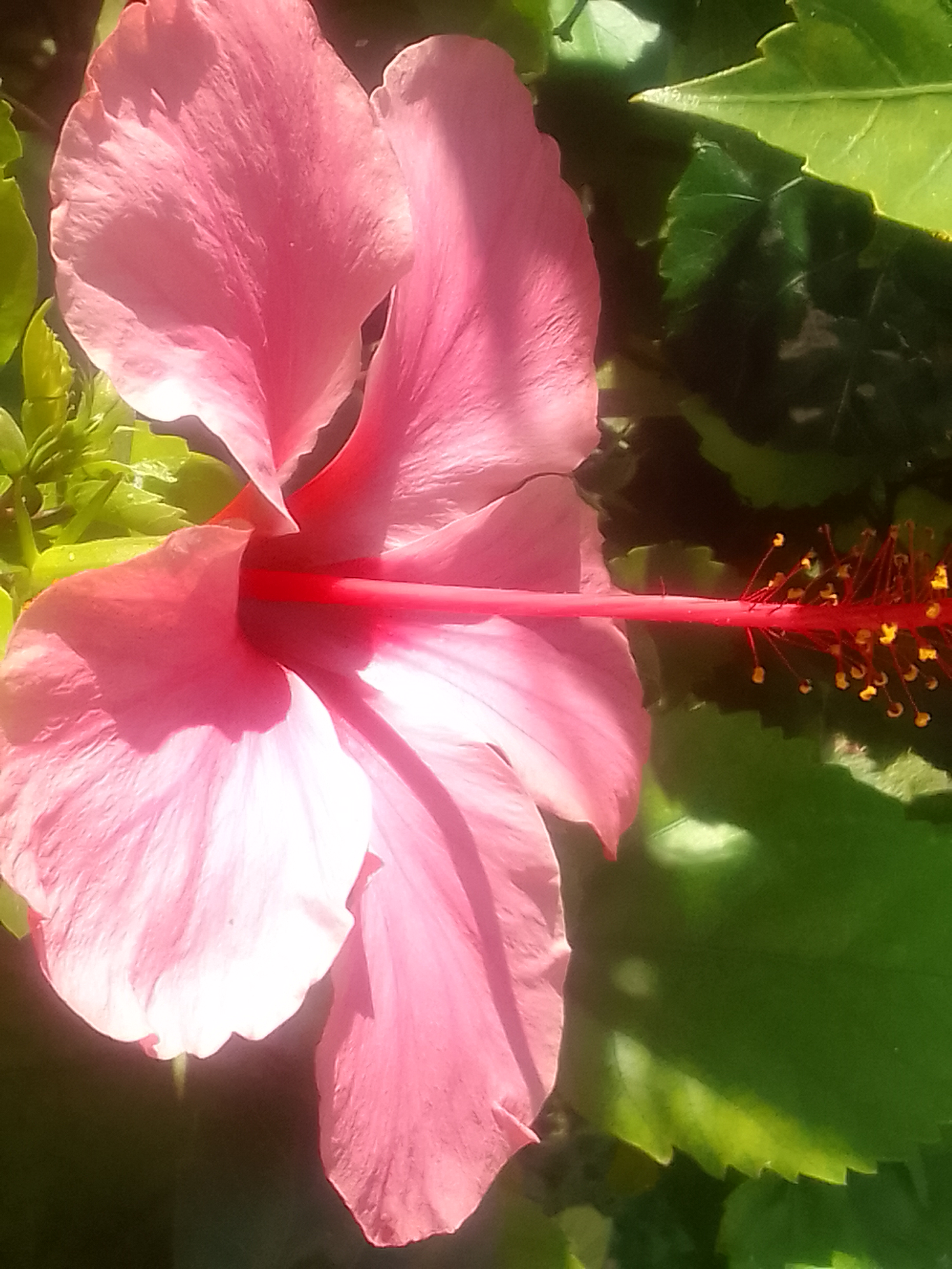
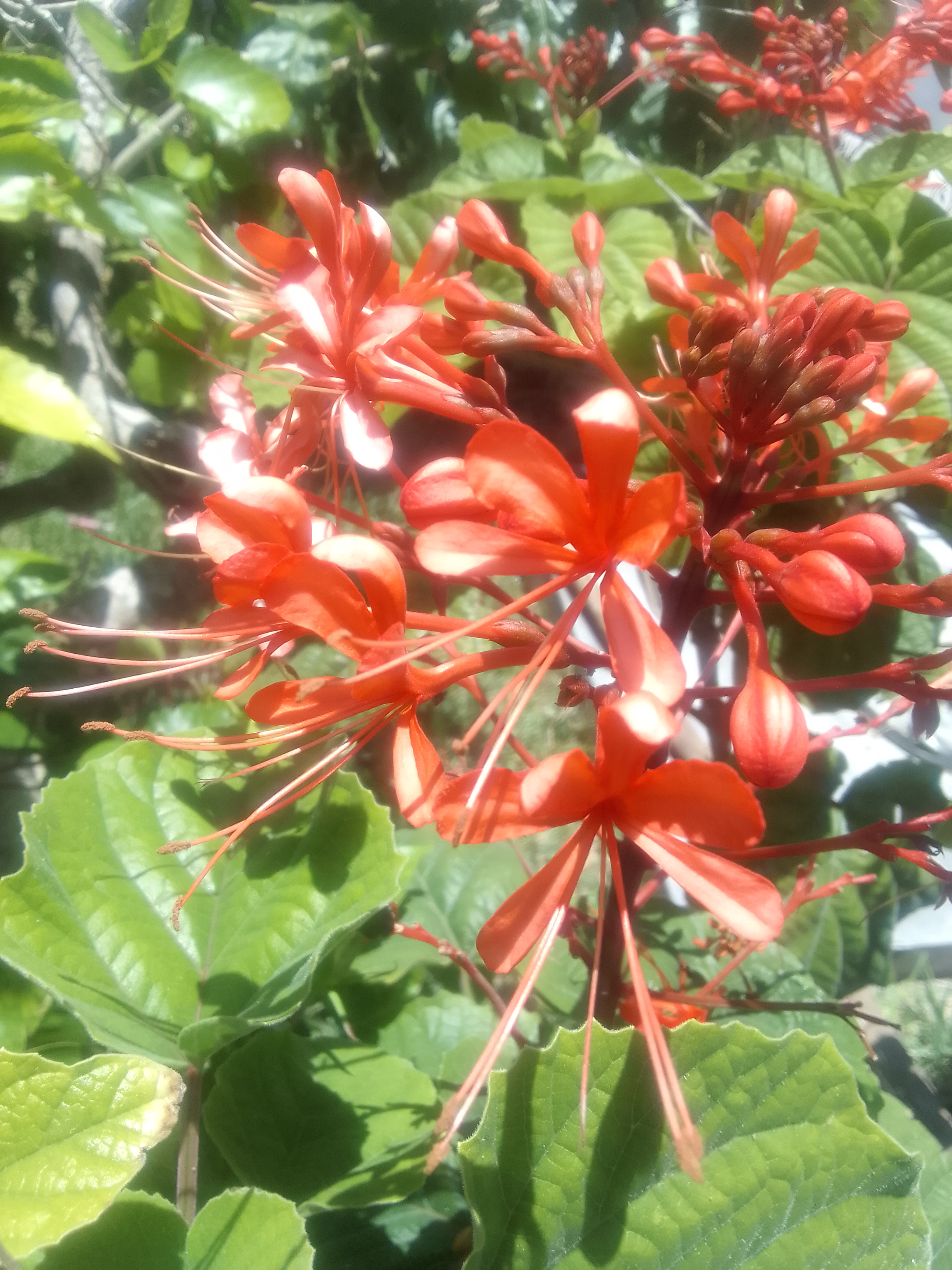
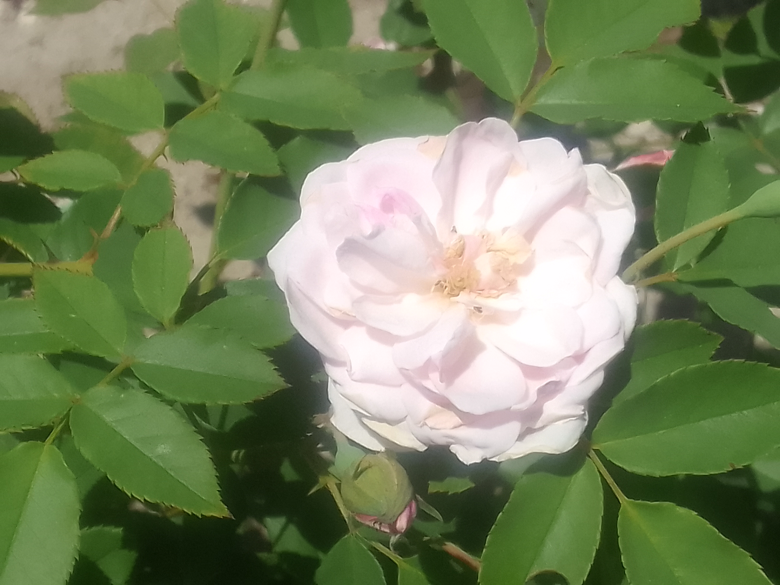
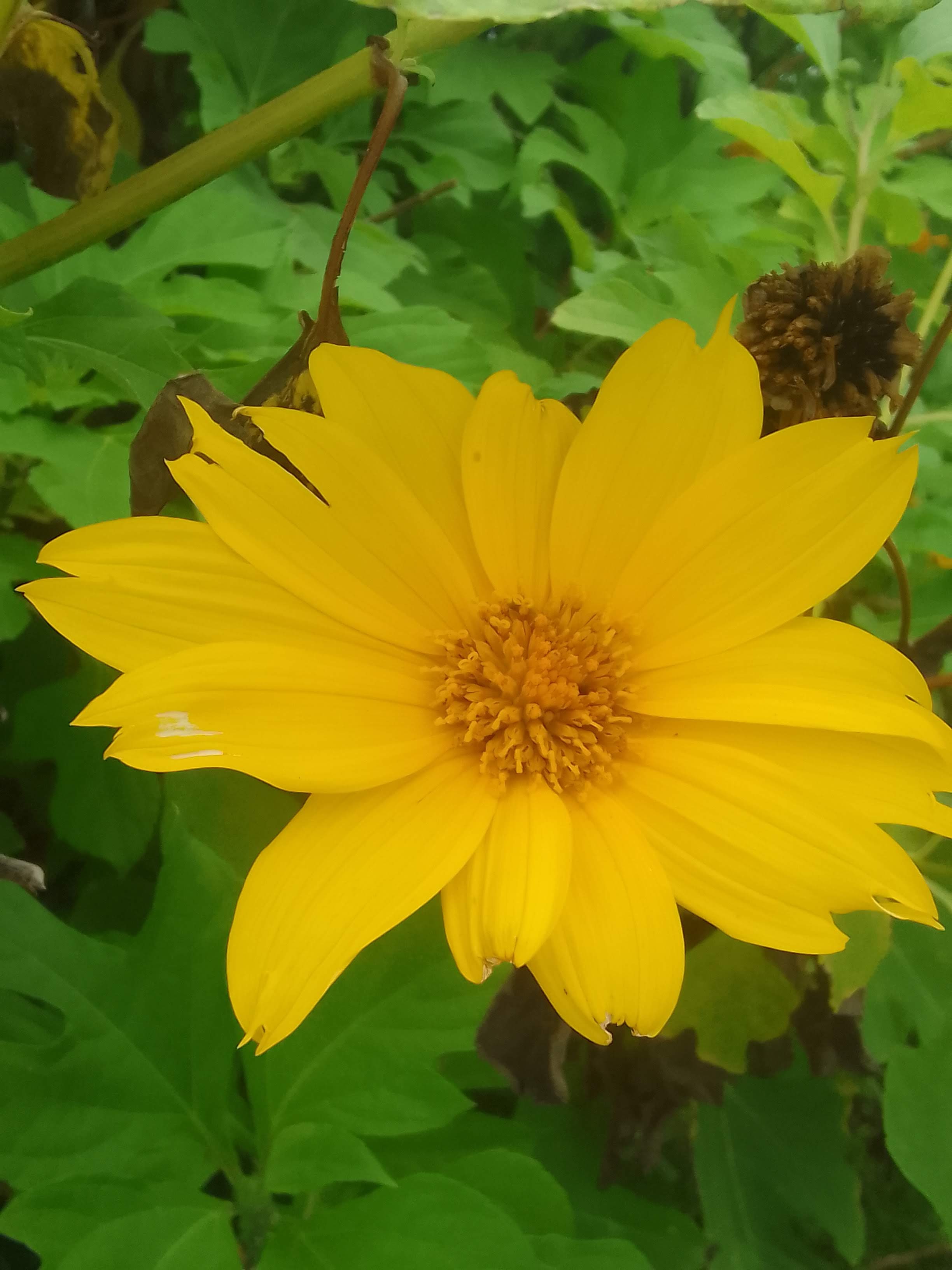
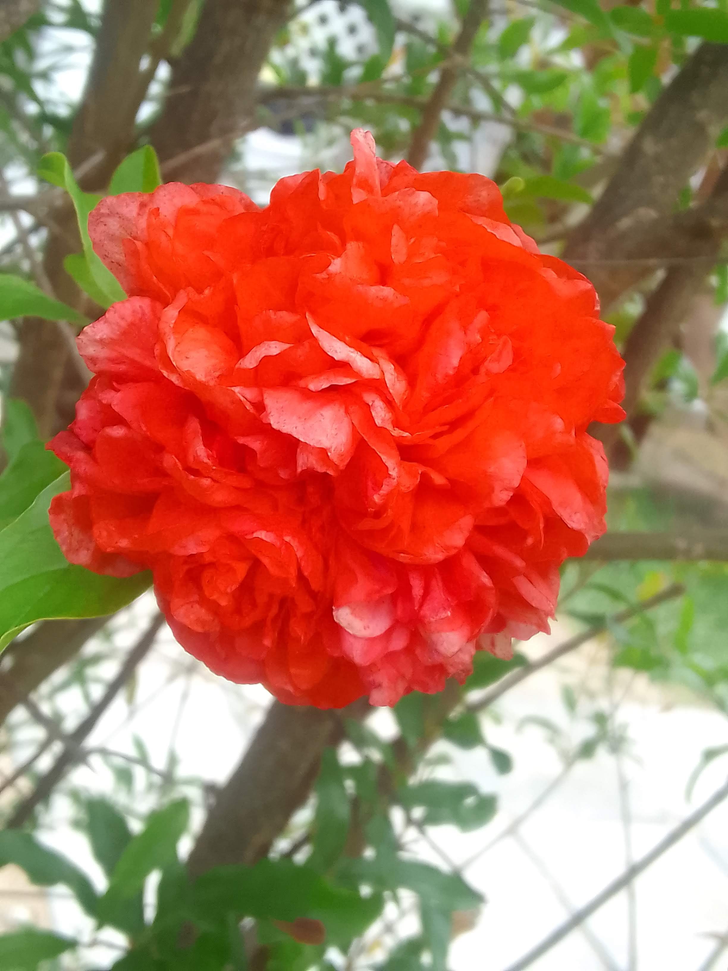
The blues of the water, the abundance of flowers (including roses, which seems unusual), and the brightly colored buildings here are visual treats. The Exumas were more wild than the Abacos, with fewer buildings and far fewer flowers. My guess is that the colonists who tried to recreate their European gardens changed the landscape. Those rose bushes growing in yards are not at all native to these islands.
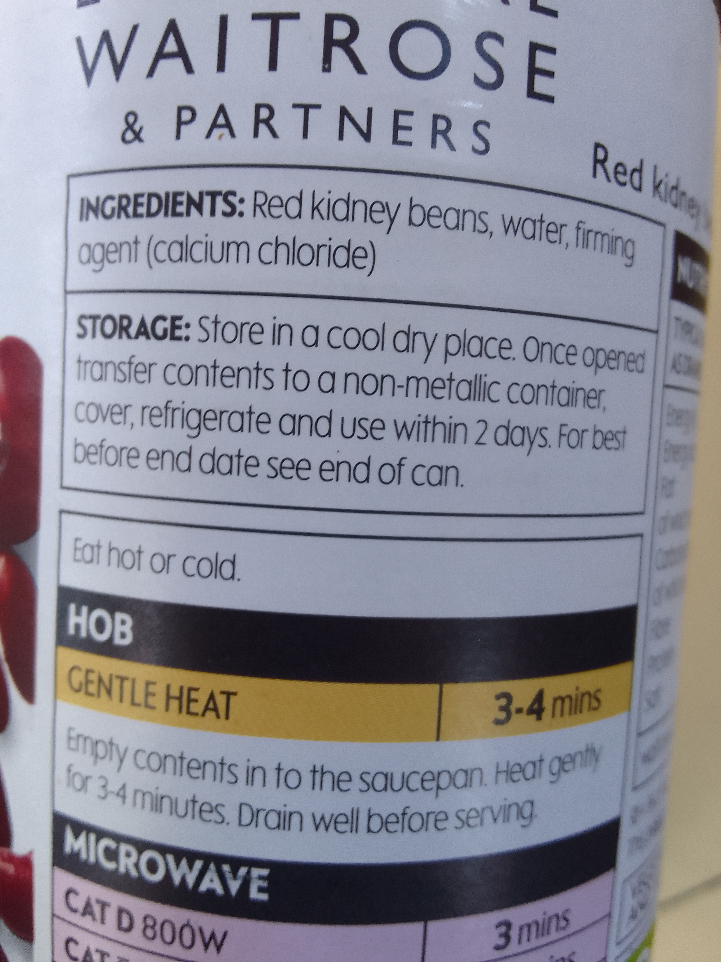
The British influence is still pretty apparent, by the way. Some of the busts honored folks with OBEs or MBEs (Officer of the British Empire/Member of British Empire). The directions for heating beans on the hob were another reminder.
Heating options are the hob or the microwave
We will get up in the morning and grab breakfast sandwiches before we head out on the 3 mile jump to Manjack Cay, where there is supposed to be some walking trails and snorkeling spots.
Great Guana (anchored) to Black Point Sound, Green Turtle Cay, Abacos, Bahamas (mooring ball)
May 24 & 25, 2022
May 24
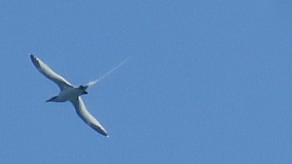
Our friend Jen told us to look for the white-tailed tropic birds in Great Guana, which was great timing because they were flying and diving all over our anchorage. We had only seen them at one other anchorage – Shroud Cay – in the Exumas. These birds have really long, thin tails that can look like jet trails behind them. They’re really hard to photograph because they fly fast and they dart all over the place.
A cool fact about these birds is that their legs are set so far back on the body that they can’t walk upright on land. For the rare times they need to move on land, they use their chests, wings and occasionally their beaks to pull themselves along. Those rear-set legs make them good swimmers.
White-tailed tropicbird with a really cool long tail
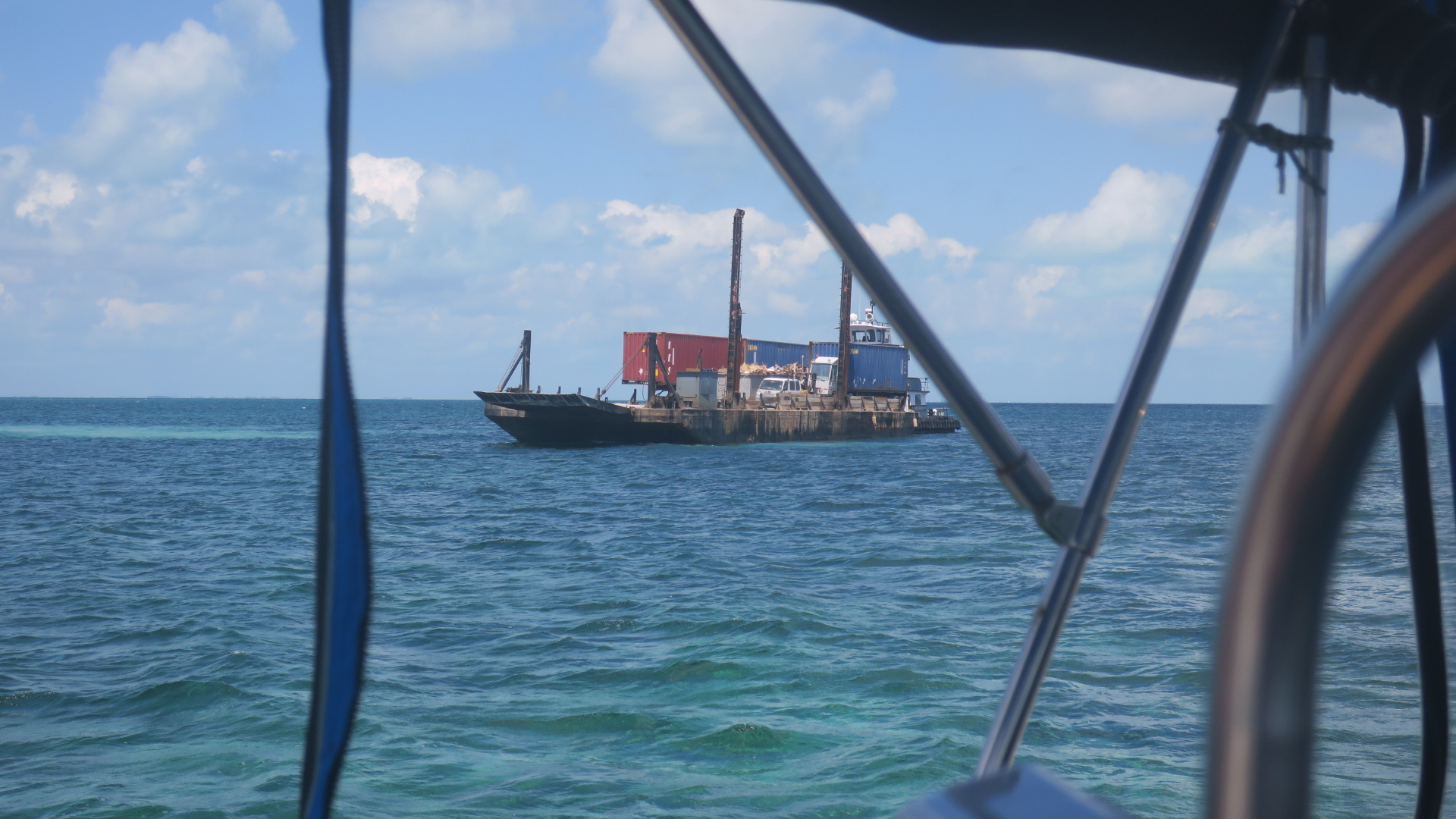
A barge hovered behind the anchorage for a bit while we were eating breakfast. When stuff like that happens it’s unsettling – the charts don’t have this area marked as a shipping/mailboat route. We turned on our VHF radio to see if they would hail us, but in the end, the barge just moved off.
Just hovering there
We’re currently traveling in the company of two other boats: SV Wild and SV Luna. We dinghied over to Grabbers Beach Bar and walked to the beach on the Atlantic side of Great Guana.
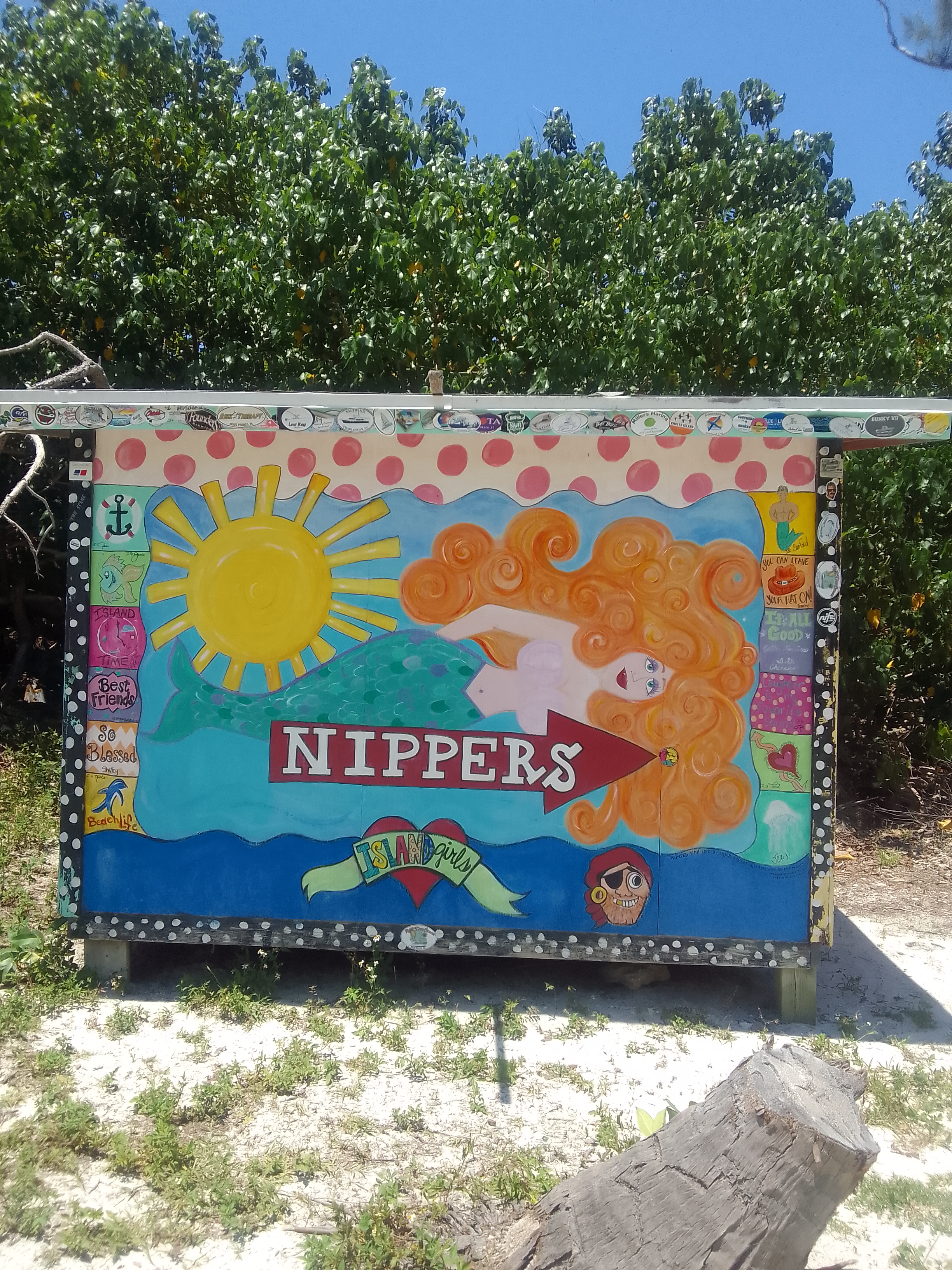
The easiest access to the beach is through the steps at Nippers’ Beach Bar. The names of the beach bars are really interesting…
The other beach bar is Grabbers.
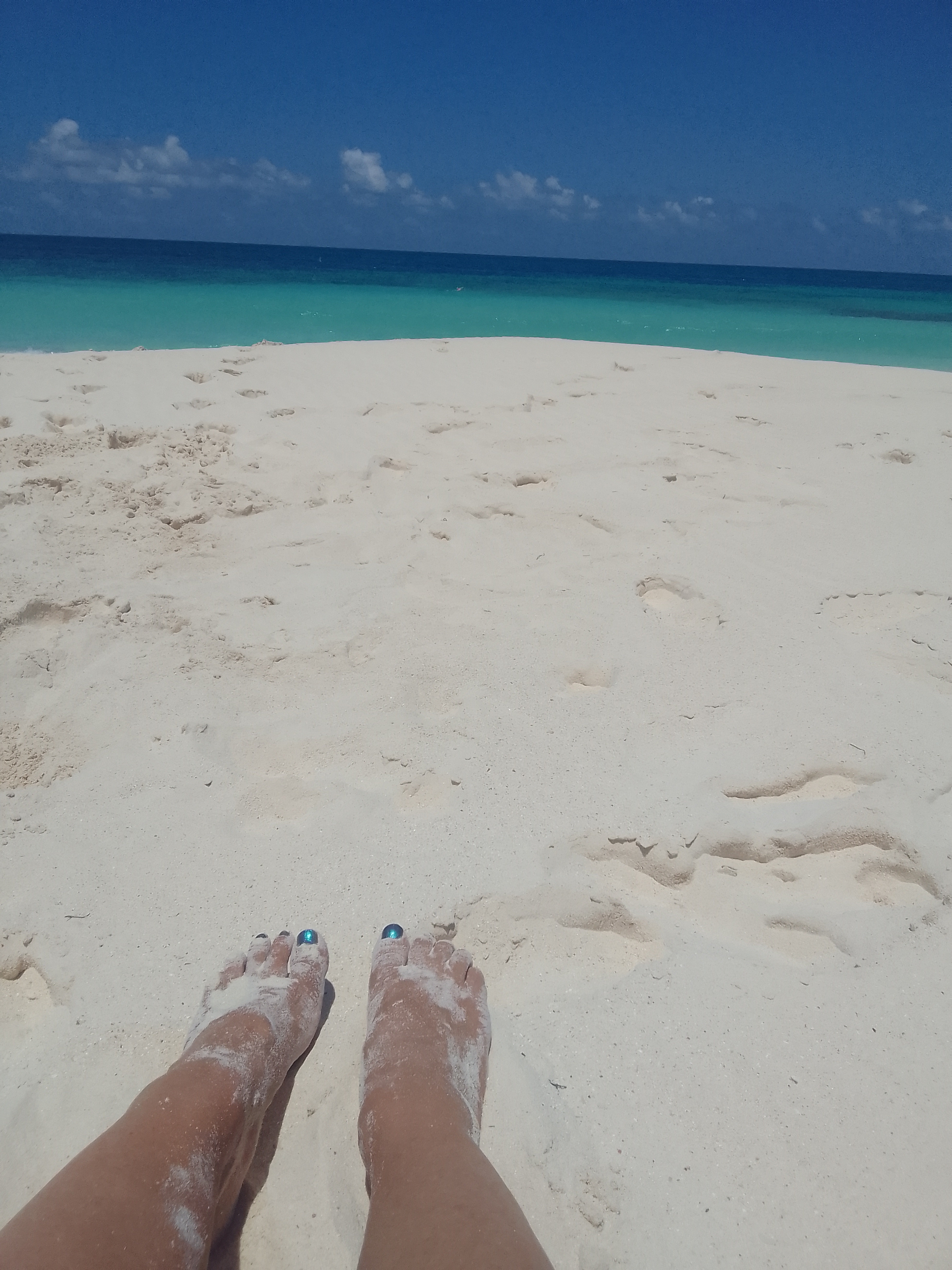
John snorkeled off the beach with Andy, Eric, and Nikki while Casey and I got beach time with Frank the greyhound. This was the first time I just sat on a beach in the Bahamas. We’ve walked on beaches, explored beaches with caves and blowholes, and even hung out with lizards and other boaters at beaches, but for some reason, I haven’t just enjoyed sitting on a beach towel with my feet in the sand until today.
It was absolutely perfect.
The Atlantic side – John and friends are snorkelingEnd of the day
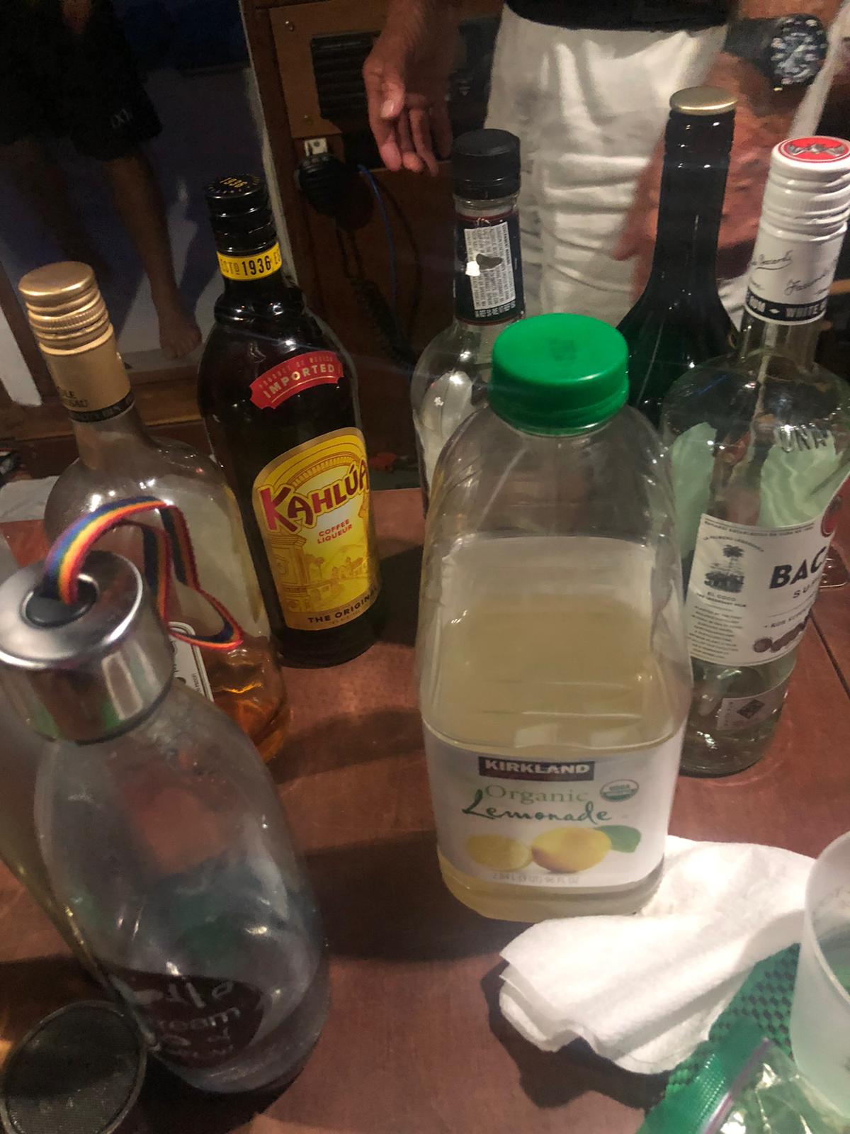
Dinner and drinks were on SV Wild. John has created this year’s “John drink” (rum. Kahlua, and Bailey’s) so he was the mixologist. We made plans for our next hop through the Whale and to No Name Cay, which is about 10 miles.
Beverages on SV Wild
May 25
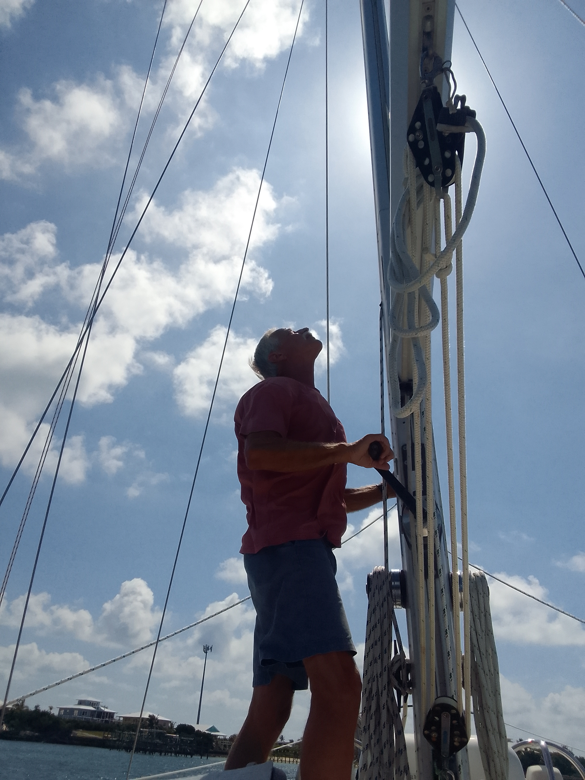
Teamwork is a gift. As we made water for SV Luna, they traveled to shore to get rid of trash and grab ice. Our mainsail had been getting hung up in the furler so we had a team of guys to fix that.
Fixing the mainsail issue
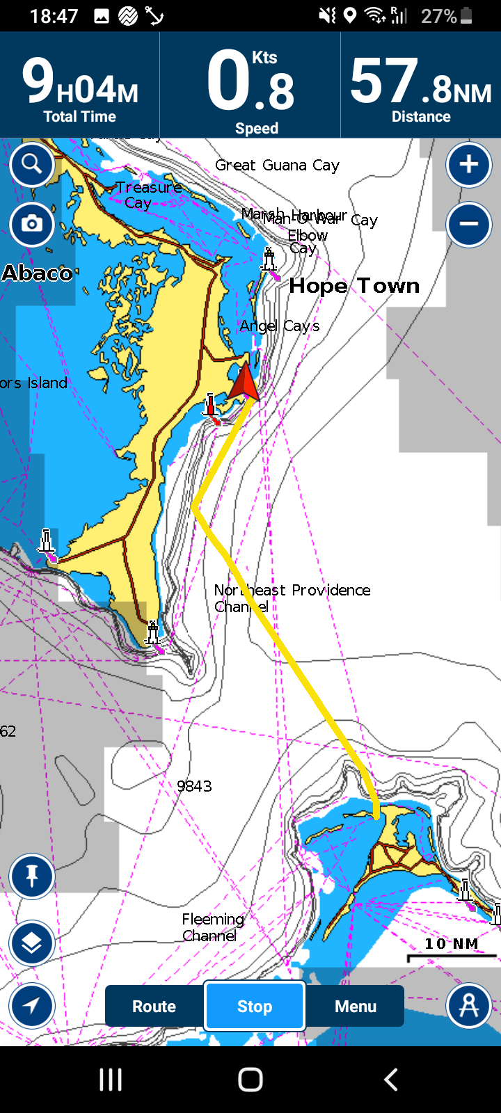
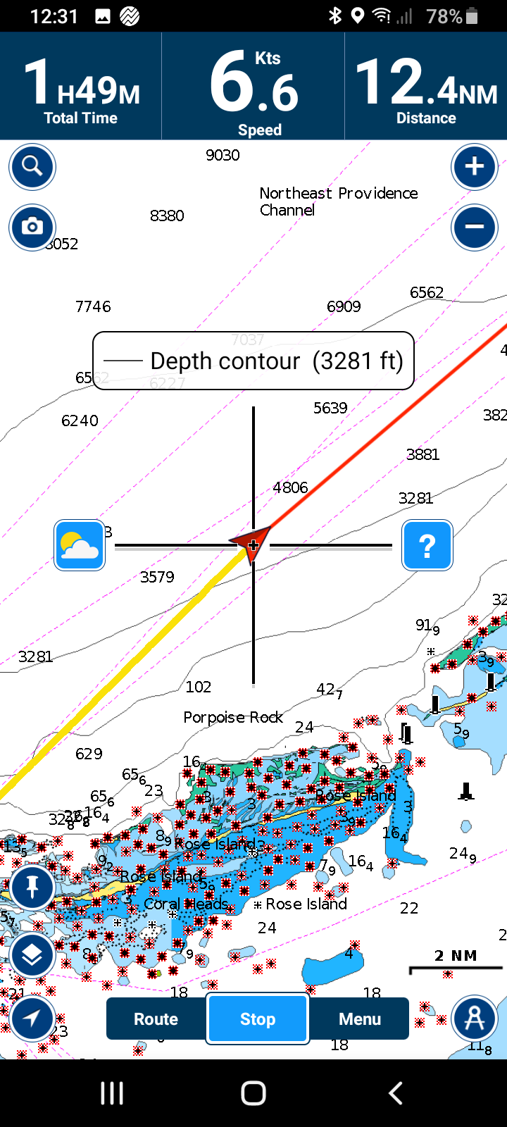
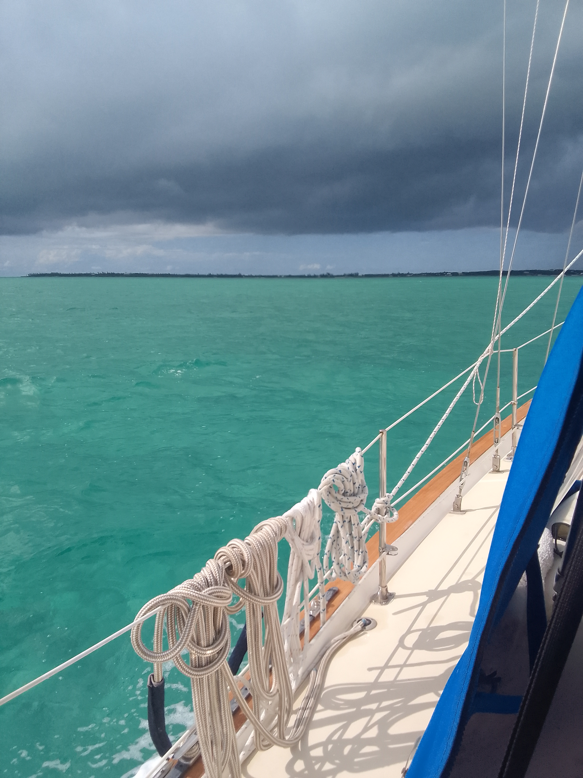
Ever since we crossed over to the Abaco island chain, we have been in the Sea of Abaco. This body of water has Abaco Island on the west and chains of smaller cays to the east (Atlantic Ocean) which keeps the water fairly shallow and the waves pretty small. As we travelled north, we had to go through the Whale Cay Passage, also known as “Crossing the Whale.” The water in the Sea of Abaco near Whale Cay is too shallow for most boats so we have to leave the Sea of Abaco and travel outside (in the Atlantic) for about 2 miles and re-enter the Sea of Abaco on the north side of Whale Cay.
Guidebooks mention that this area can be prone to swells if the prevailing winds are strong enough to push water against the tide. We checked the tides and waves before the three boats in our flotilla made the passage.
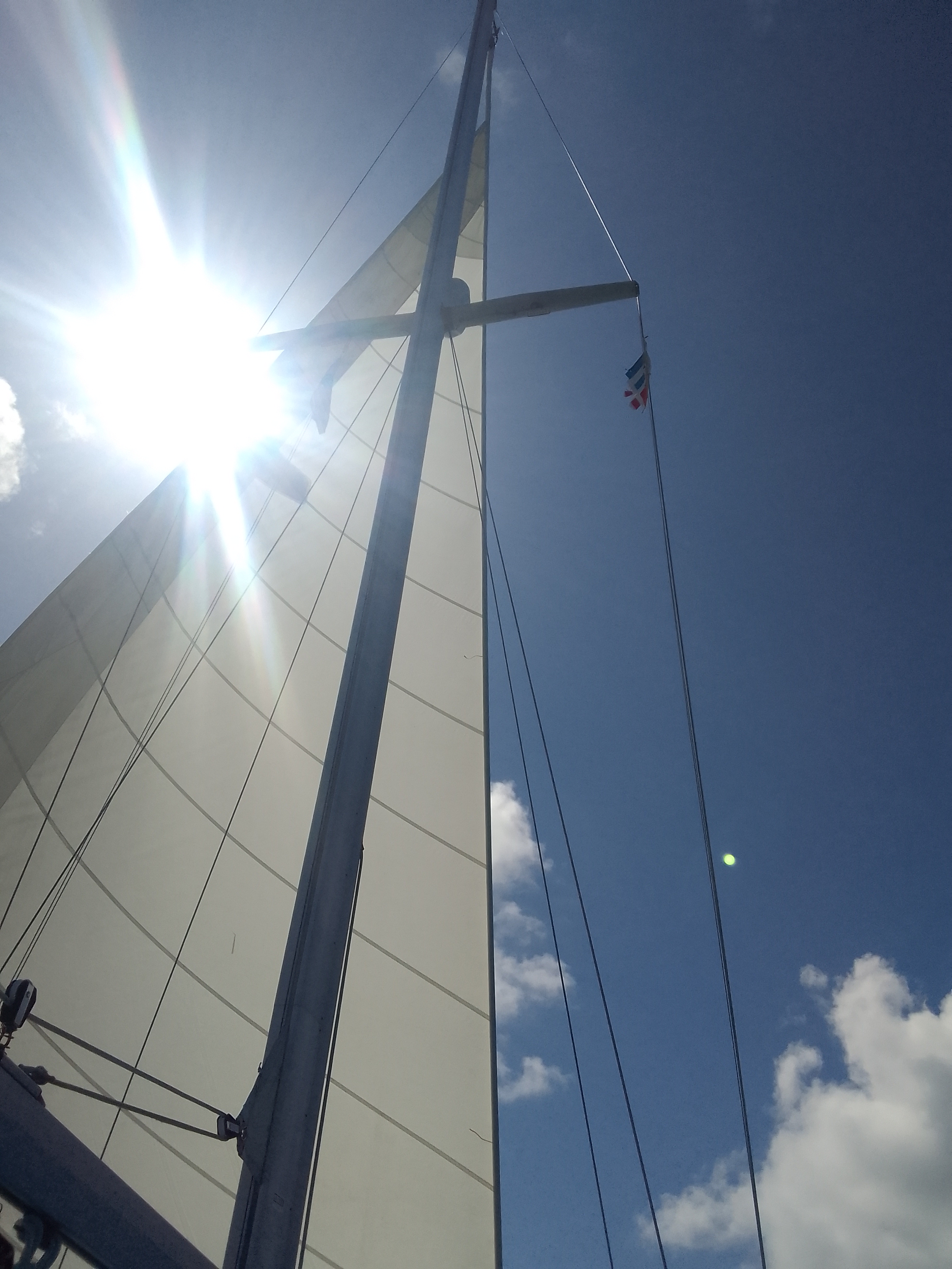
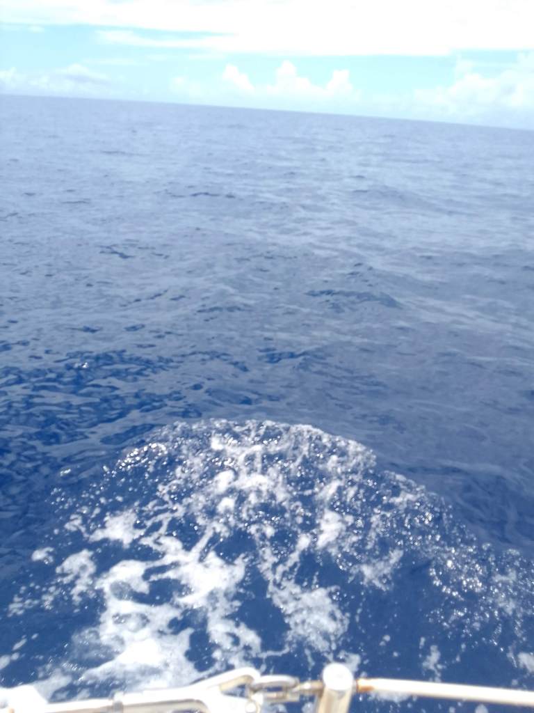
Rounding the Whale, motor off and sails out
We were the last boat out of the anchorage which meant that we benefited from information that the other boats were transmitting. Last night we planned to spend some time at anchor in No Name Cay but the first boat in our flotilla found the anchorage to be too rolly. We all changed course to Black Sound in Green Turtle Cay.
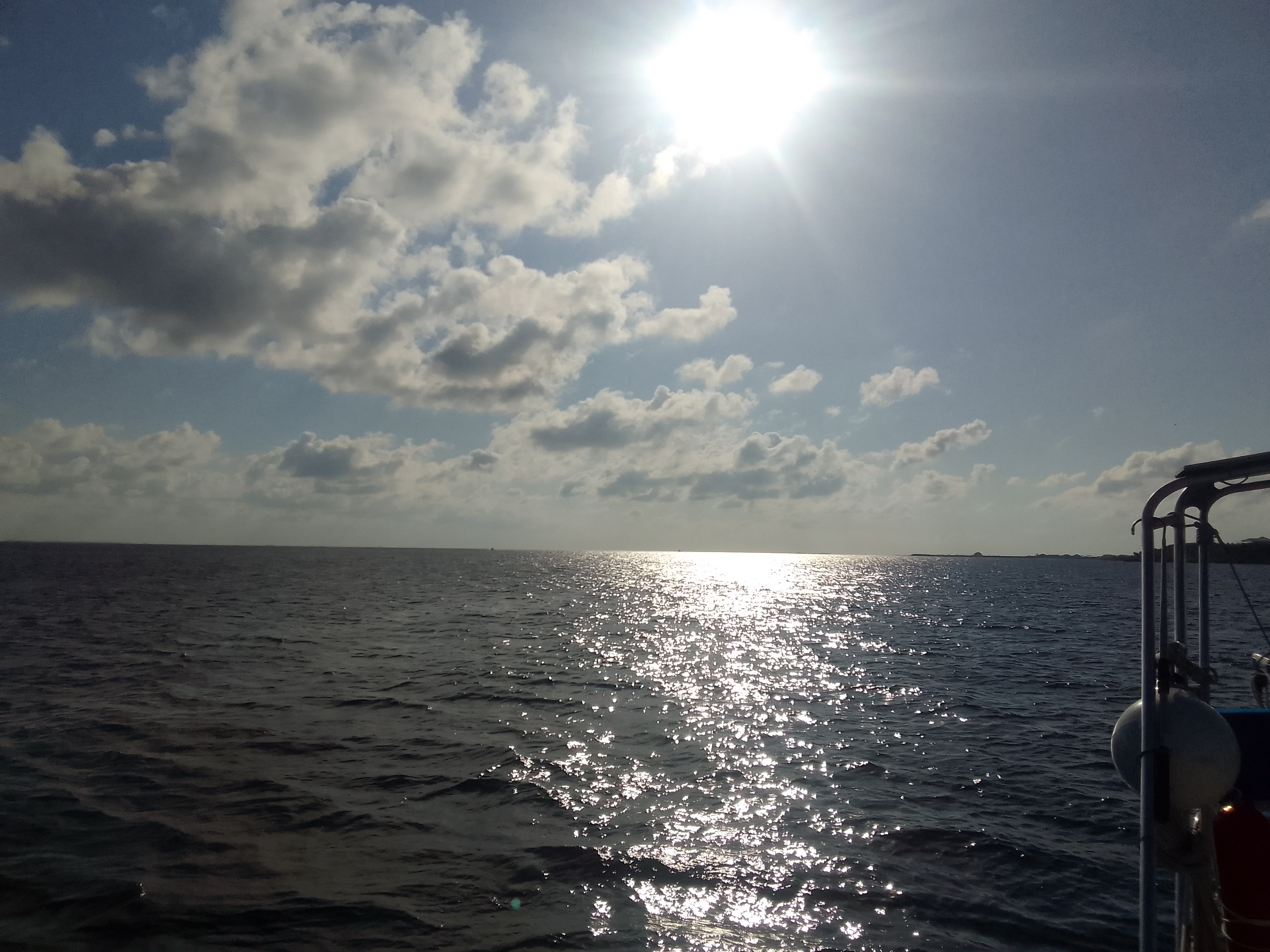
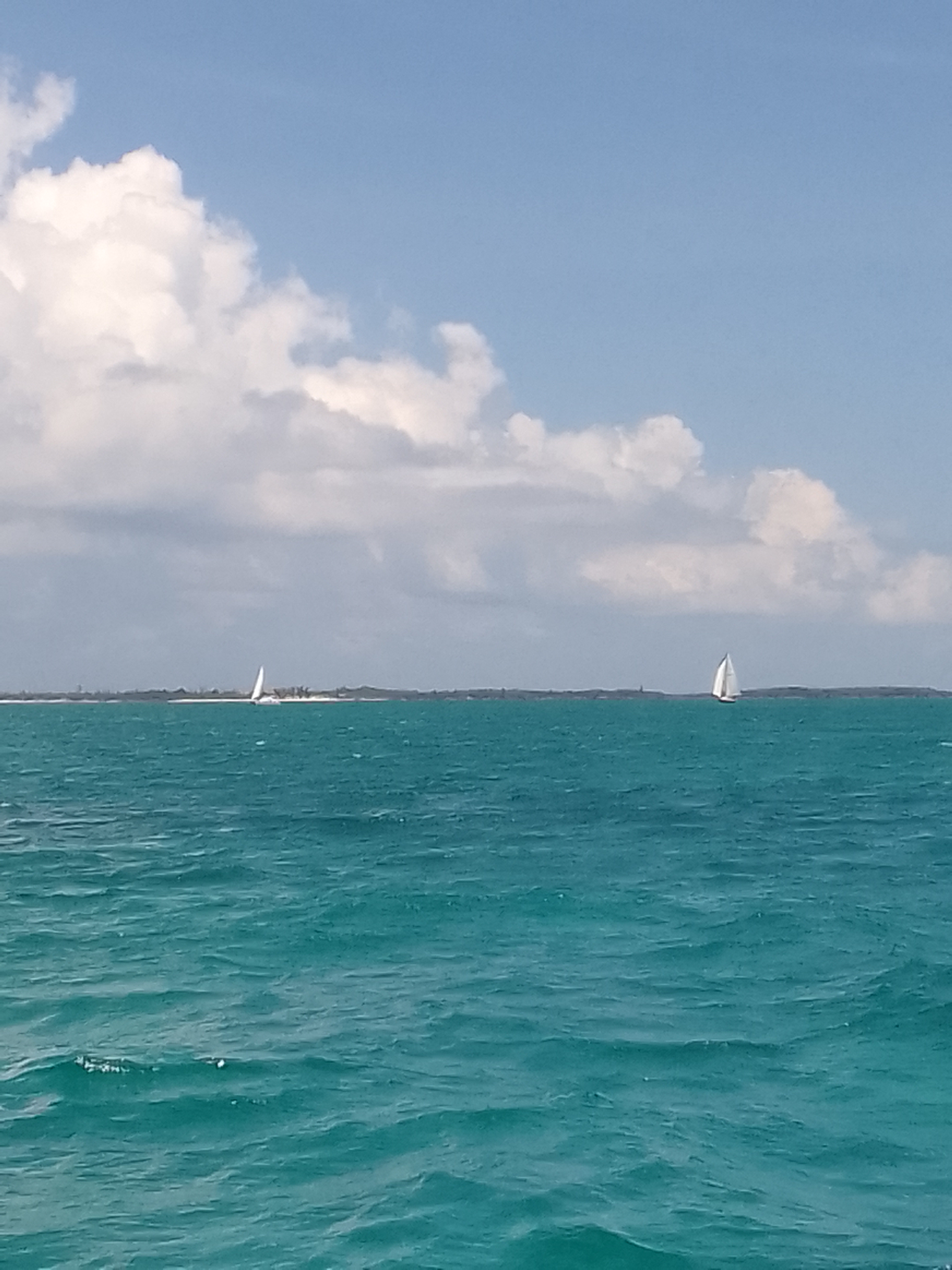
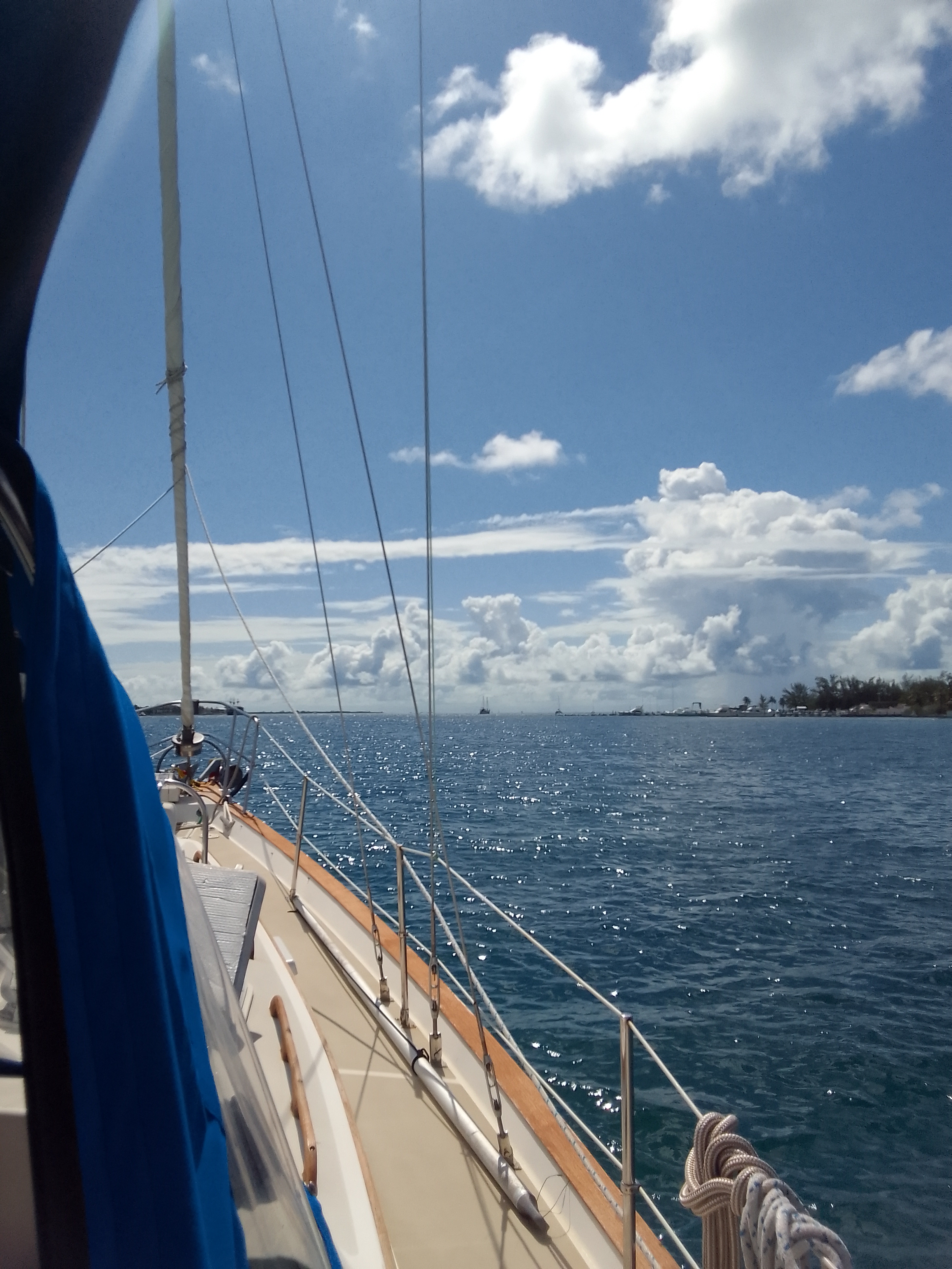
The short hop – less than 10 miles – meant that we had time to sail. Sailing can be slow if the wind isn’t just right, but we had lots of time to get to our anchorage. It’s incredibly peaceful to turn off the engine and move with the wind, especially when the seas were at our back.
SV Wild and SV Luna – the other boats in our flotilla
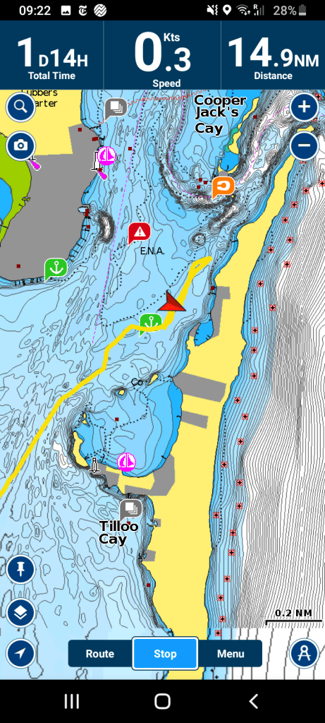
Tonight we are on a mooring ball in a very protected harbor and we may stay here for a few days.
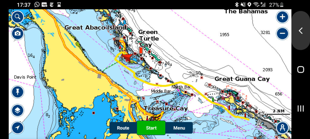
We’re planning to explore Green Turtle Cay tomorrow and possibly sail in one boat to Manjack where we can explore some nature trails and a dinghy trail.
Sharing our resources with our boat buddies (now renamed flotilla friends) has been one of the better decisions we have made: we have other folks who share knowledge and excitement, which builds our own. It also allows us to not do an activity – John can snorkel while I sunbathe, for example, because each of us has friends who are sharing that activity.
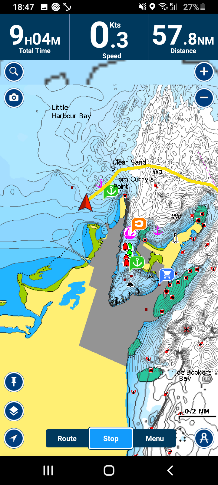
Our route today – a very short hopMooring at Black Sound
Hope Town to Great Guana, Abacos, Bahamas (anchored)
May 23, 2022
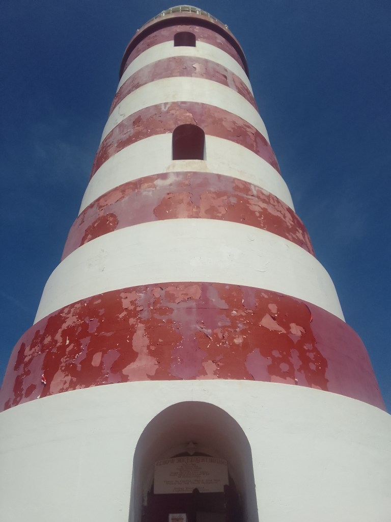
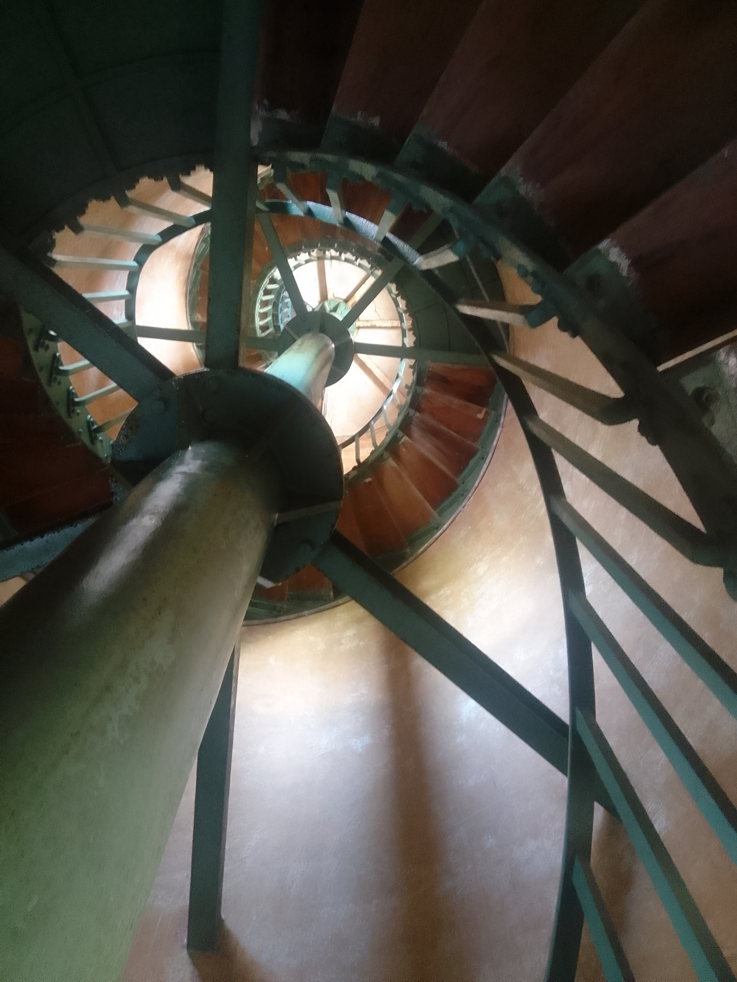
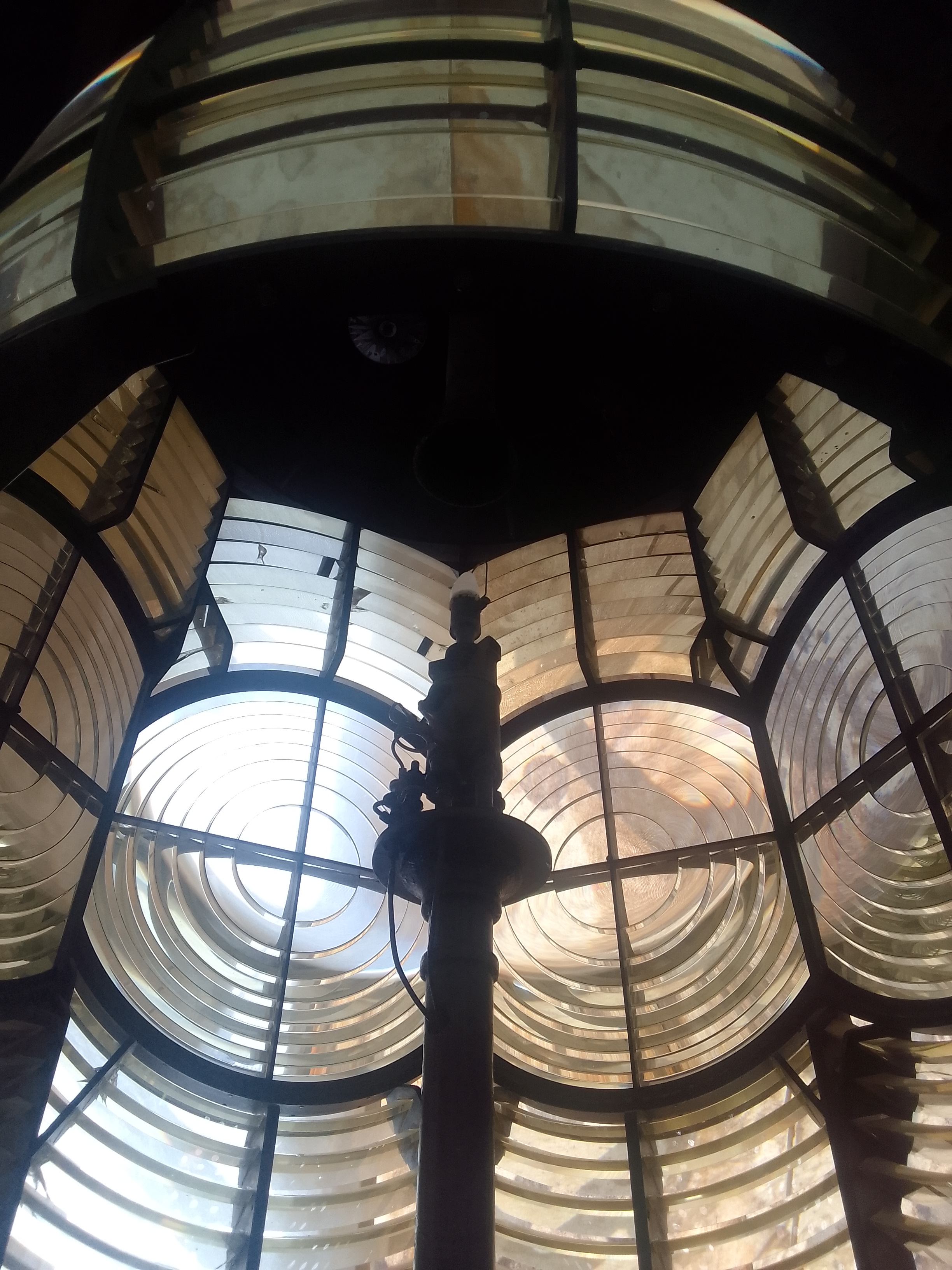
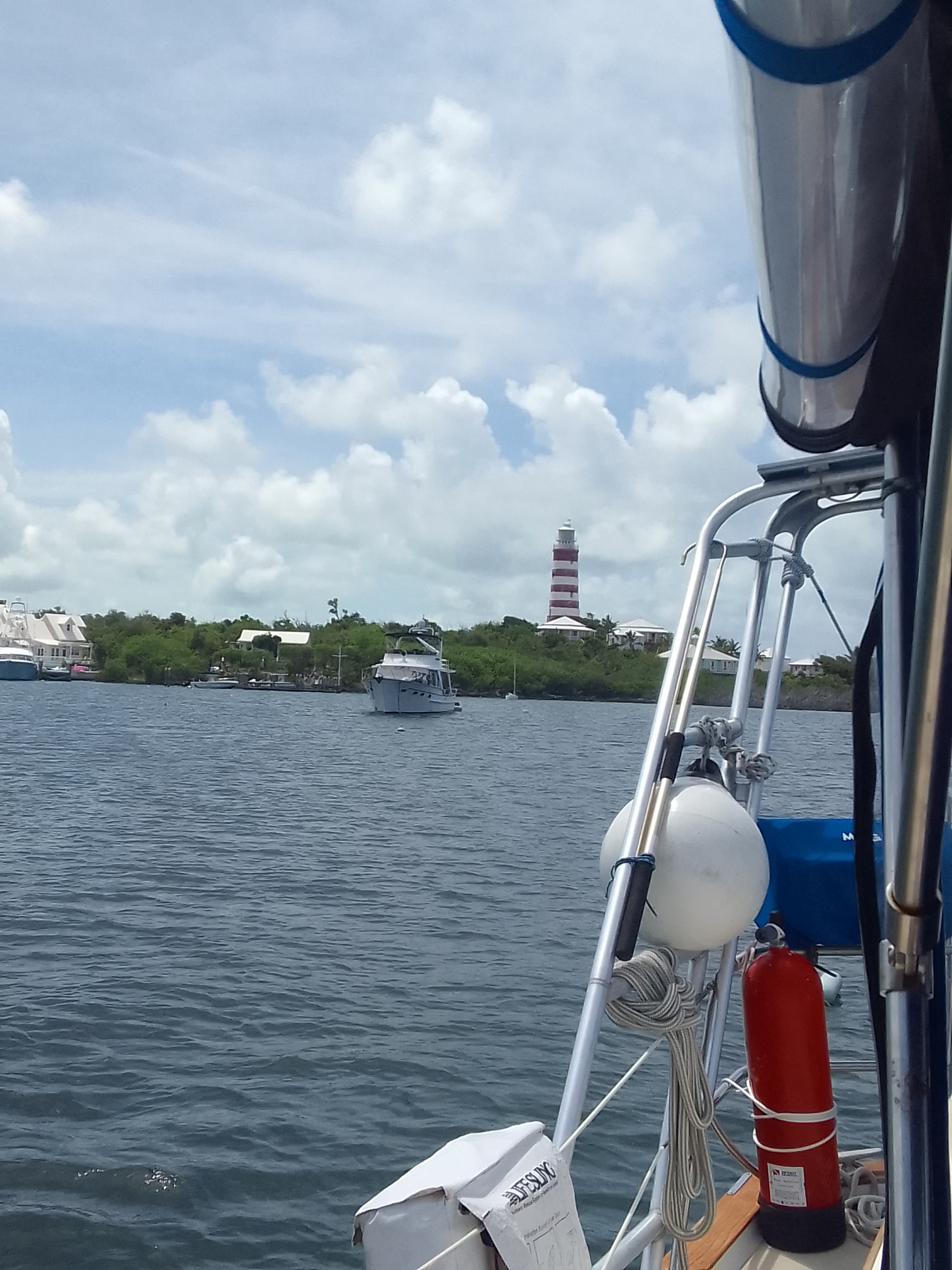
The Elbow Reef lighthouse is the only remaining manned lighhouse in the world that has not been electrified. The lighthouse keeper hand-winds the mechanism that rotates lens and the light is fueled by kerosene. I can’t imagine what this lighthouse has seen since it was built in 1863.
The walls here are really thickThe Fresnel lensLailia is on the top right side of the harbor
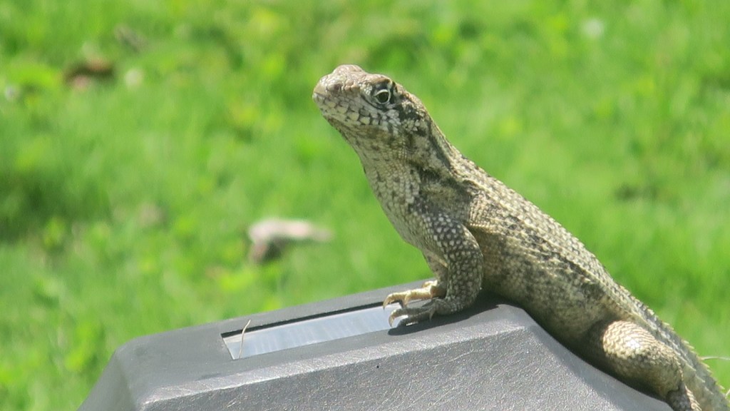
I was really happy to spend some time with a curly-tail lizard who was posing for my camera. These lizards are around 7 inches long and meatier than the green anoles that are so common in South Carolina. Their tails curl when they run.
Since we are very aware how shallow the water can be around here, we knew we had to wait until the tide was nearly high before we left this harbor. We decided to do a short jump of about 14 miles to meet up with some of our boat friends at Great Guana Cay. Since high tide was a bit after 3:00 PM, we had time to spend in Hope Town.
I love the flowers hereThese ones have white, egg-shaped fruit
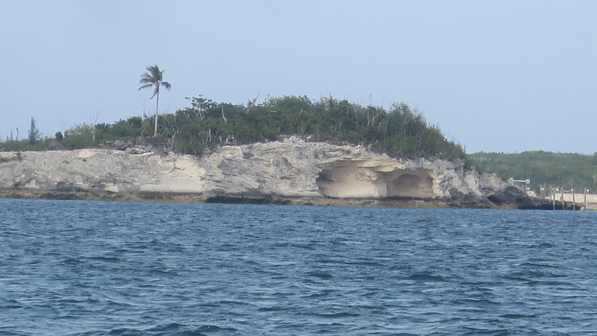
We found the trail to the beach on the east side of the island. The views look like something from a postcard.
The beach on the Atlantic side
Hope Town has an almost New England feel with the lighthouse guarding the harbor.
Our Lailia
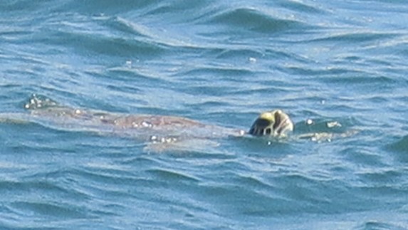
There are a lot of boats in this very busy harbor. There are water taxis crossing pretty frequently. There are also a surprising number of sea turtles swimming around. I was trying to photograph a turtle from our stern and it kept diving and surfacing out of the frame of the camera and the I noticed that there were actually three turtles, taking turns popping us and looking around.
Zoomed in photo of a turtle buddy looking around
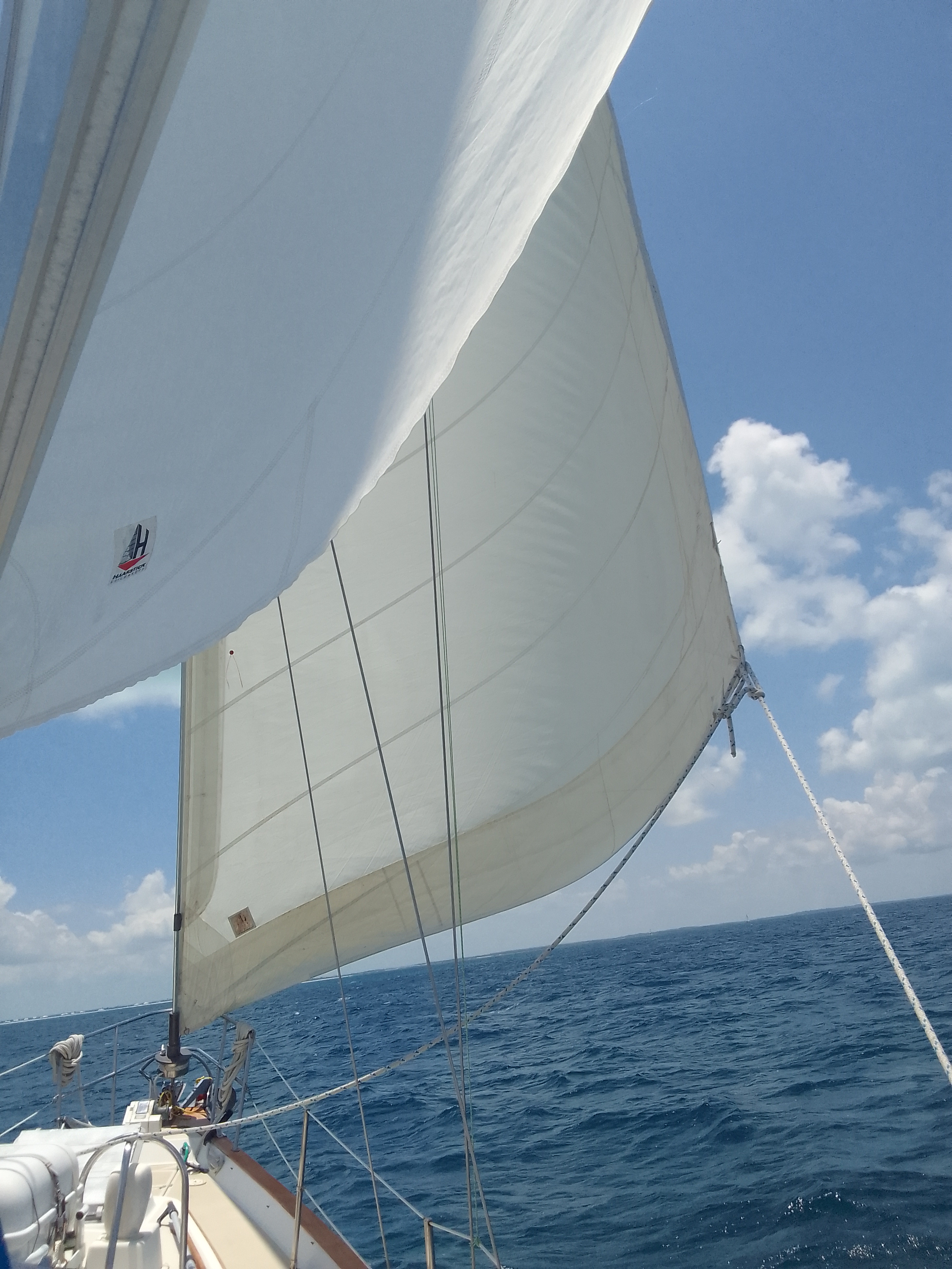
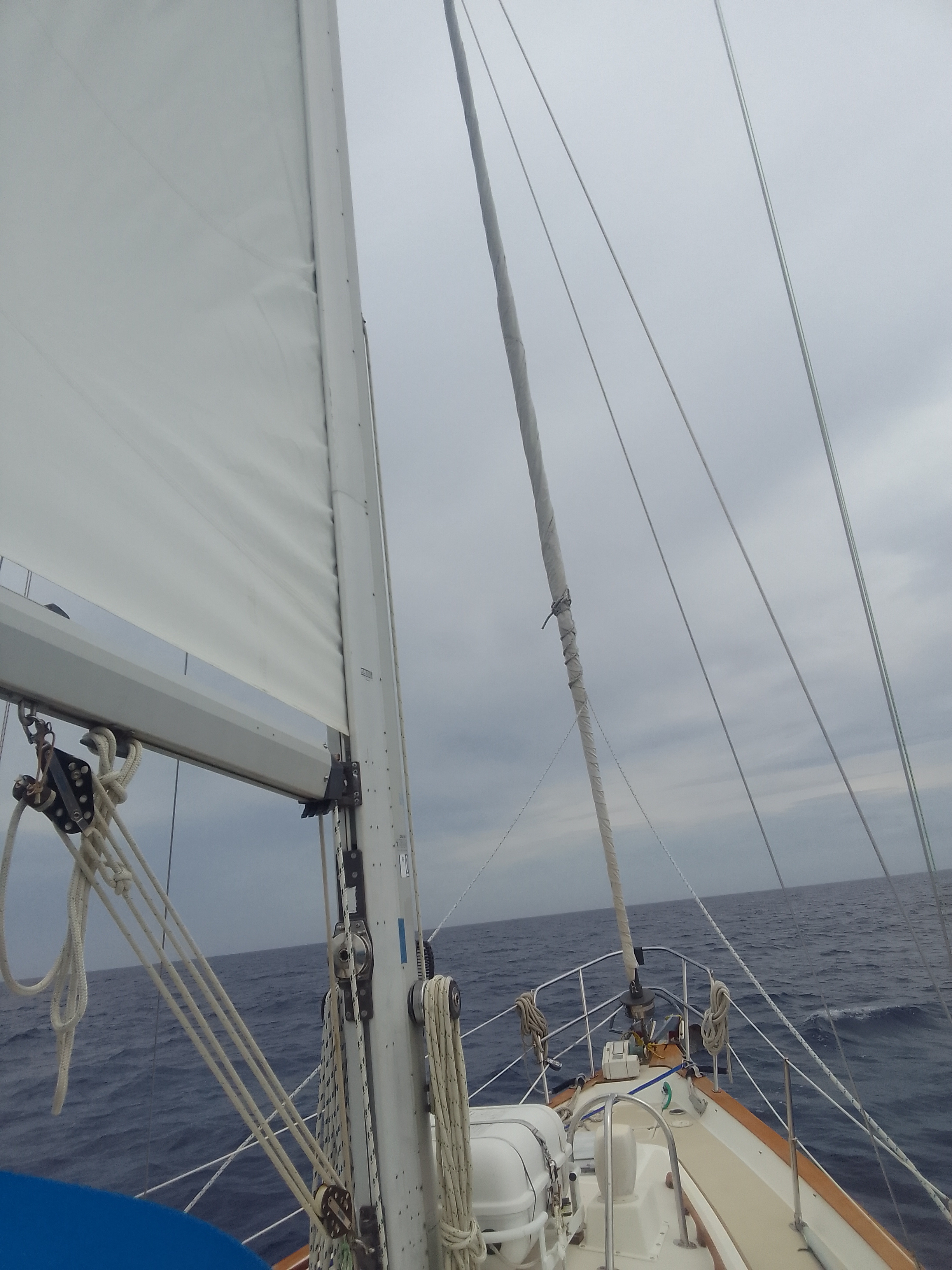
After motoring out of the harbor, we raised the headsail and turned off the motor. We were averaging about 4 knots in the light wind but it’s really peaceful without the engine sound. The mainsail didn’t want to unfurl all the way but we had it out for a while, too.
Good to get the headsail up and the engines off for a while
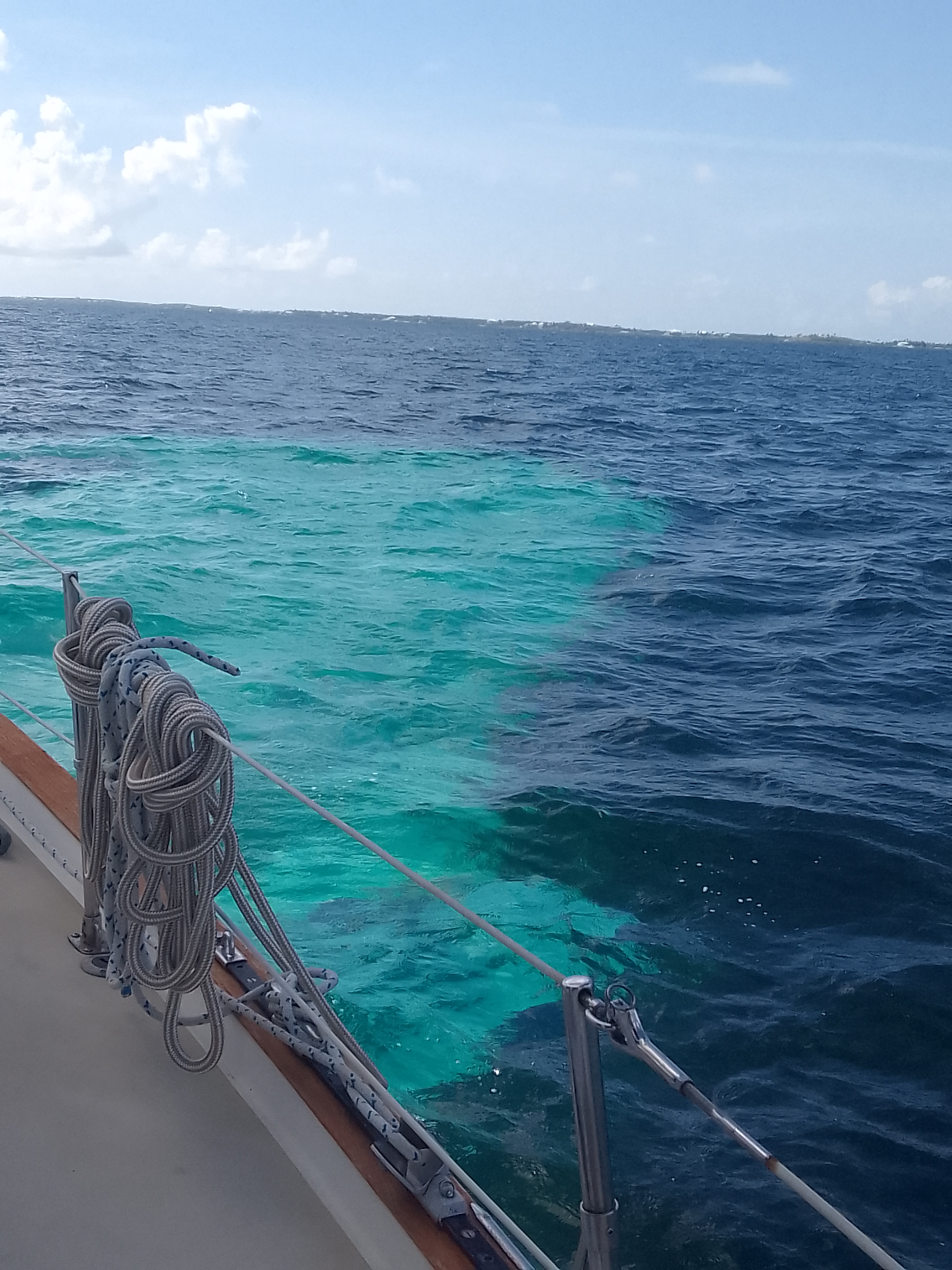
The Garmin and the boat apps give us a lot of information when we are traveling but we also use some visual cues. Turquoise blue water generally means depths of at least 10 feet with a sand bottom. Dark black shapes under the surface can mean rocks. Some dark blue can mean really deep water (like the blue velvet we saw on deep crossings) while other dark blue usually means at least 15 feet of depth and a grassy bottom. It’s pretty cool to see the contrast between sand and grass!
A patch of sand in the middle of a grassy bottom
Tonight us an early-ish night for us so we have energy for tomorrow (and especially since we were socializing really late last night).
Tomorrow Nicki and Eric from SV Wild will join us here in this anchorage with Casey and Andy (and their greyhound Frank) from SV Luna. We are hoping to do some snorkeling and exploring Great Guana. If all goes as planned (and we know how plans go), the three boats will do a few more short hops together in the next few days.
Tillaloo Cay to Hope Town, Abaco, Bahamas (mooring buoy)
May 21, 2022
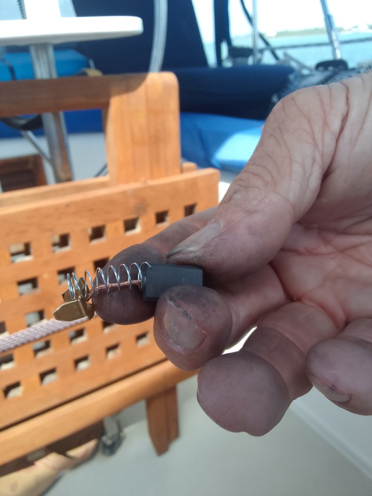
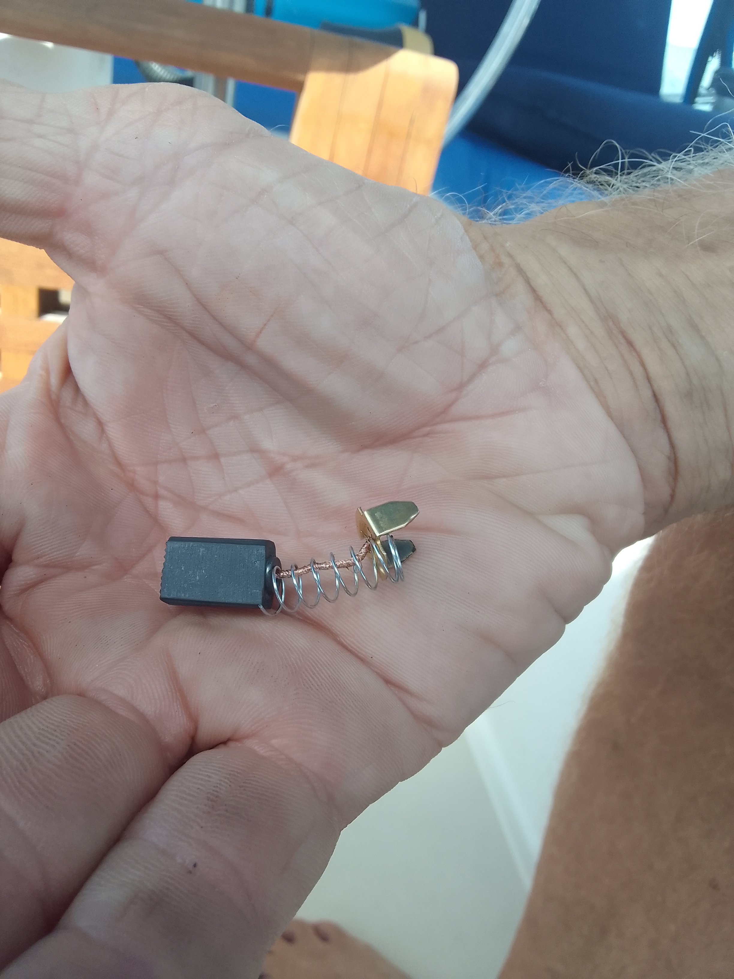
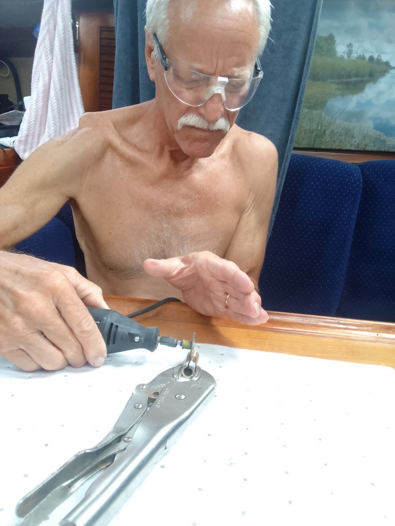
Sigh…our windlass stopped working again. John can haul the anchor and chain, but the last bit is really difficult – it’s a 55 lb anchor and the chain is about a pound a foot.
We actually know what has needs to be replaced but we don’t have the parts – not just because we are in the Bahamas but because the company that makes the windlass is out of business. The springs on the brushes that we have right now are just a bit too big and they impinge the movement of brushes.
Today John tried to use springs from ballpoint pens but that did not work, either.
The parts that need to be replaced
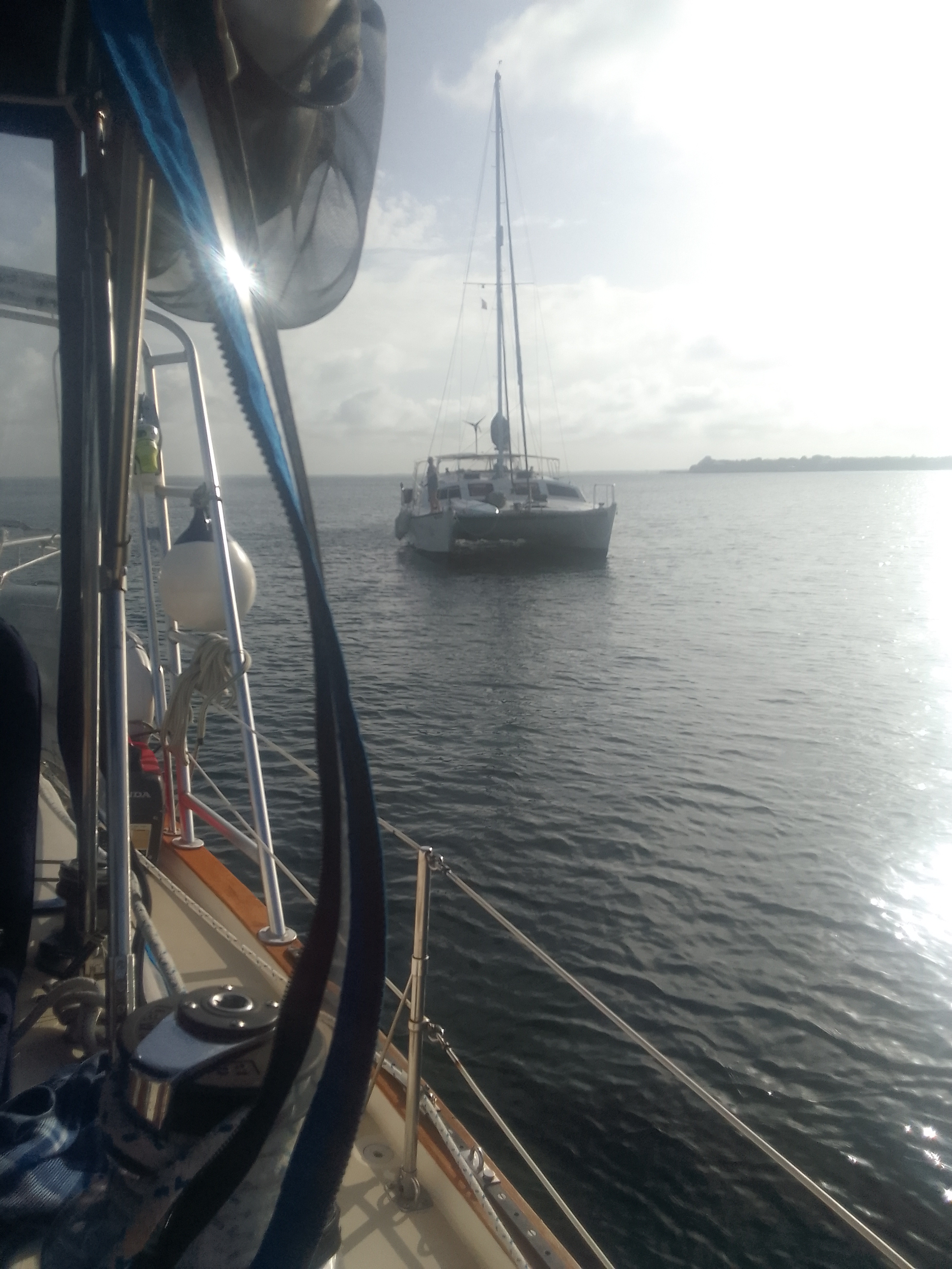
To keep us from running aground in shallow water, our boat friends, Nicki and Eric motored in front us and let us know the depths. Their catamaran draws 3 feet of water, so they can go where we can’t.
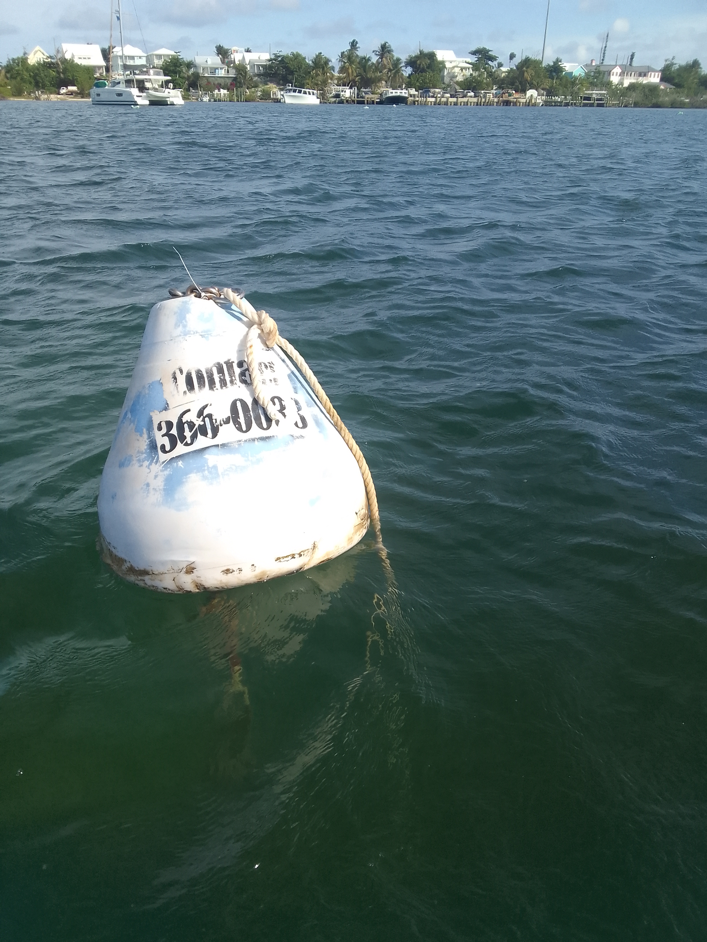
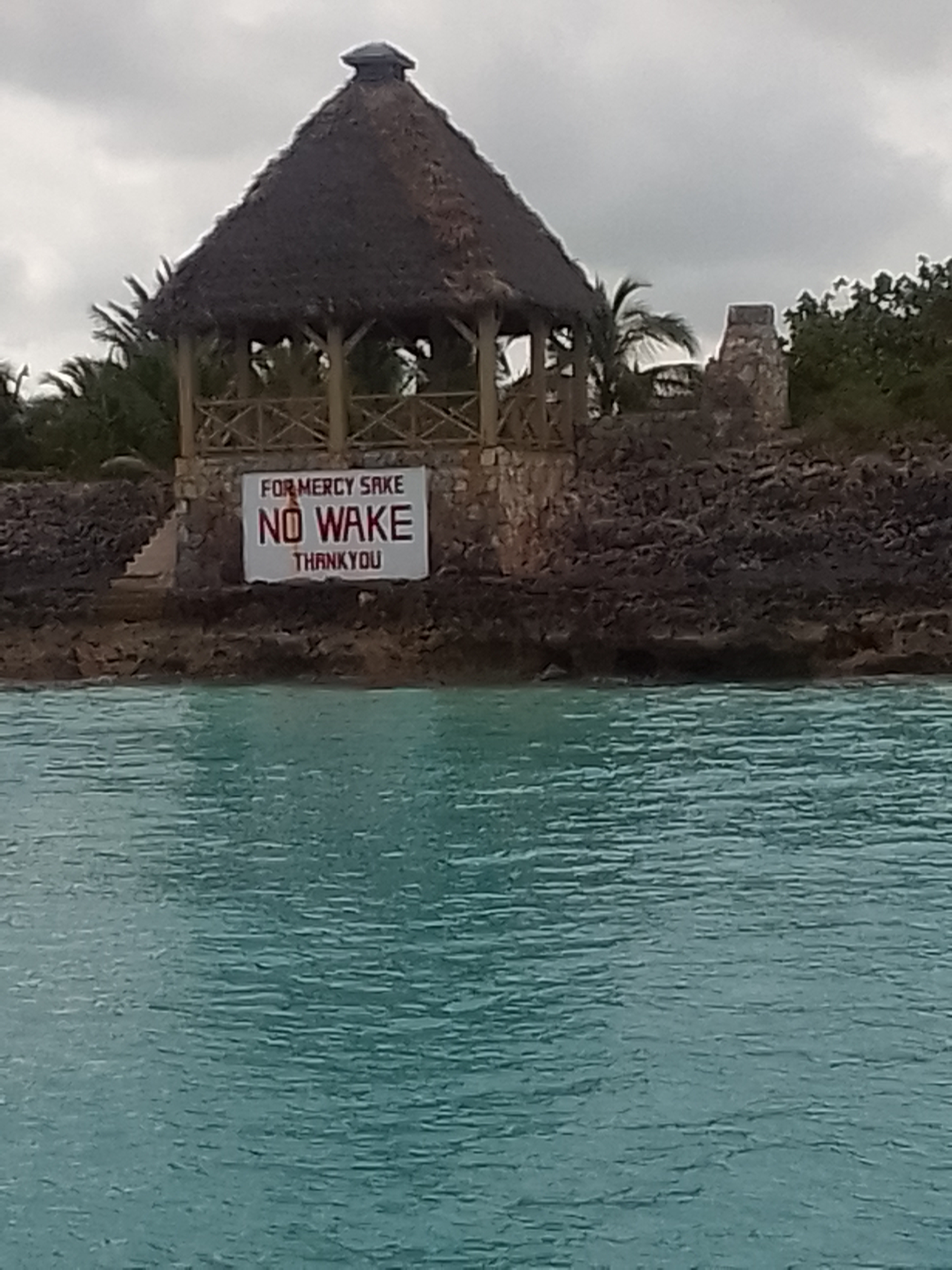
We motored into Hope Town on a rising tide and grabbed a mooring ball. Mooring balls are attached to some sort of anchor. Boats are tied to loops (called pennants) that are attached to the pennants. Sometimes these mooring balls are placed in fragile areas, such as coral reefs, to keep anchors from causing damage. There is a huge mooring field in Hope Town harbor. Apparently multiple people own the rights to rent the balls out.
Hope Town Harbor
After looping two lines through the pennant and cleating them off, we explored Hope Town for a bit with Nicki and Eric. It’s a really pretty area with lots of New England style homes.
Made me think of the Dr. Seuss bookThere are many houses here with this type of detailJasmine plants
We decided to dinghy across the harbor to eat in the marina but we couldn’t see Lailia where we had moored her next to S/V Wild. Some other boaters told us that she had become unmoored and drifted into another boat. The water taxi folks had moved her to another mooring and secured her.
This is still a really scary feeling. We did not know if Lailia or the other boat had any damage and we did not know how she could have been unmoored. We dinghied as quickly as we could back to our boat.
We had no damage. The lines were still securely tied and cleated. The pennant line on the mooring ball had actually become untied – it was still connected to the lines on Lailia. There is some relief knowing that we did not do anything wrong.
The end of that line should be attached to the buoyThe mooring ball – we will be calling the owner to discuss the quality of the pennant
The boat that Lailia touched is owned by someone we knew in St. Johns Yacht Harbor. He let us know that his boat did not sustain any damage at all, which is another relief.
We are reminded that the outcomes could have been very different. We are fortunate that Lailia drifted slowly and that she was stopped by the mooring lines of another boat without sustaining or causing any damage. We are really fortunate that the folks around us took action and that she was re-moored (on better moorings) as we were walking around town.
Our friends have been very supportive and the time we spent with them tonight at dinner and then back on Lailia has kept us from dwelling on what did not happen.
Tonight we are going to focus on the stuff that worked and the way the boating community went into action. Tomorrow we will explore the lighthouse and then head to another cay.
Tom Curry’s Point (outside Little Harbour) to Tilloo Cay, Abaco, Bahamas (anchored)
May 20, 2022
A long-standing “joke” is that cruising is “fixing your boat in exotic places.” A real difficulty in doing repairs is the lack of resources: there are very few marine stores here, John is working on a rolling or rocking boat, and we can’t just get parts delivered via Amazon.
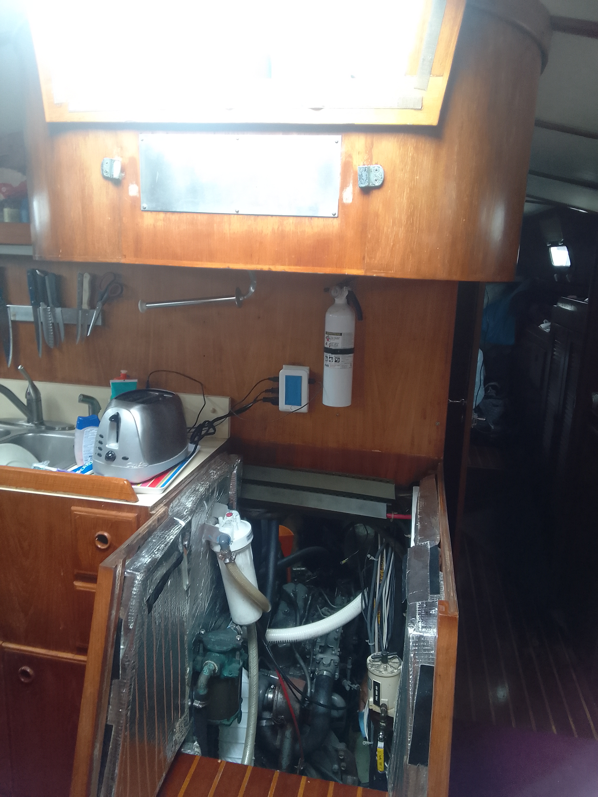
Our new alternator needed a new shim because it was loose on its mount which can cause excess vibration. That vibration can damage the bearings in the alternator or the belt. John had to create a new shim by slicing a piece of threaded pipe to make its diameter just slightly larger. Once he cut this slit, he was able to widen it just enough to make it fit on the bolt.
He did this at our salon table while Lailia was rolling in the waves. And he installed it in a very hard to maneuver engine room.
John making the diameter of the threaded pipe larger
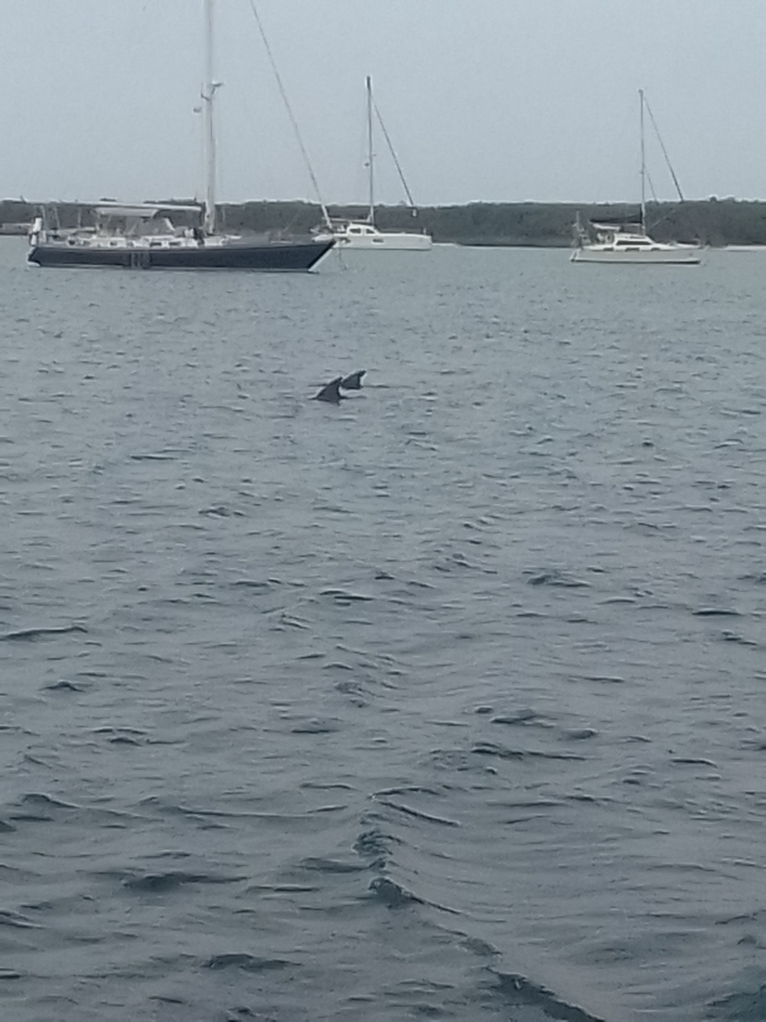
Some boat friends were in an anchorage not far from us. They are hardcore cruisers who sailed for about 24 hours straight to get there (they have my admiration for that!). Once we heard that they were on their last few gallons of water we offered to make water for them. Their anchorage was pretty calm so we motored over to them. I am so glad we did.
The trio of dolphins just calmly cruised around the anchorage for a bit.
FIns to the right of meFins to the left
We left Lynyard Cay anchorage with a plan to be in Hope Town (about 15 miles) by about 6:00 PM. It was a great plan, but like so many of our plans, it changed enroute.
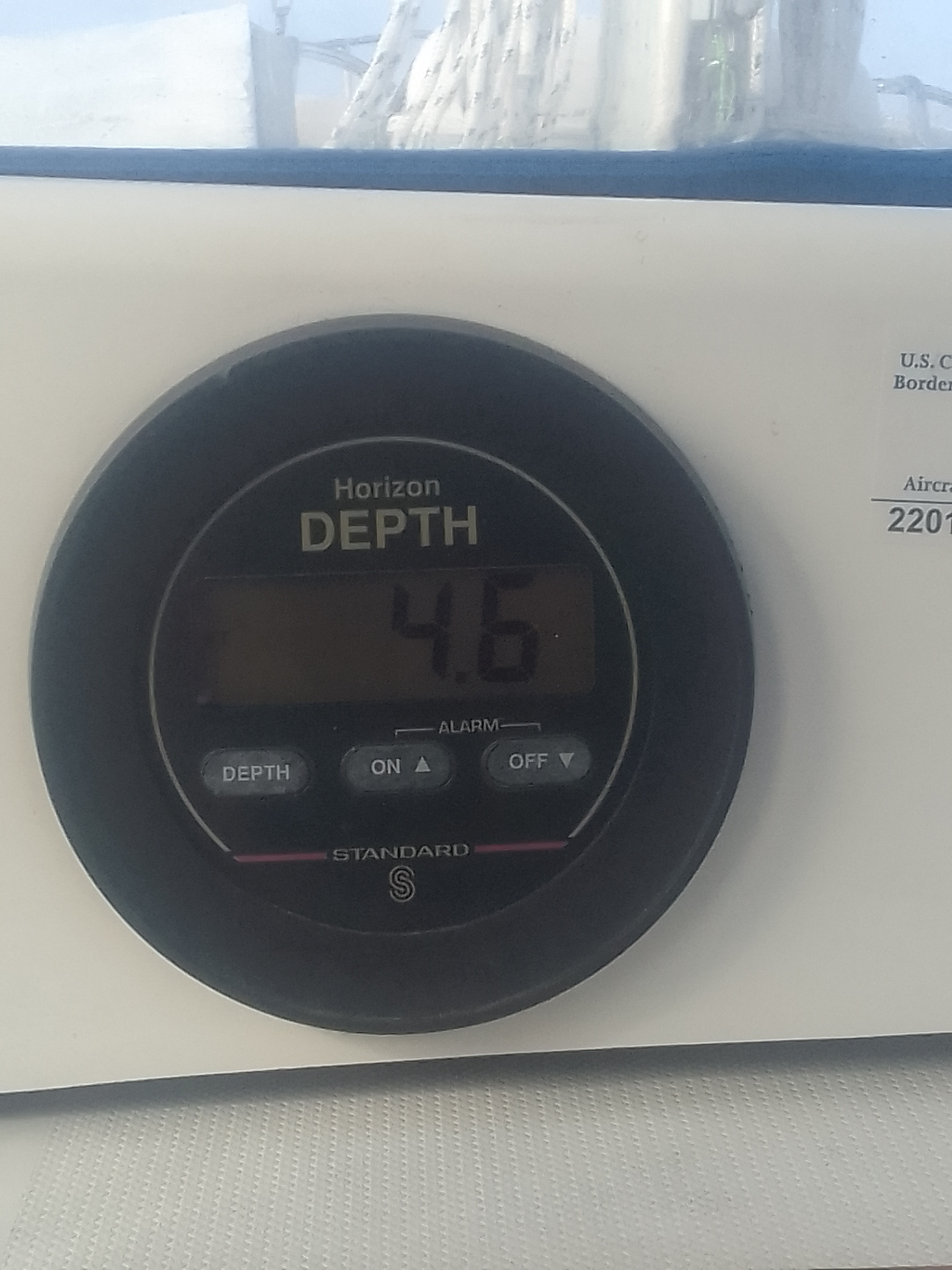
Shoaling is pretty frequent in channels between islands, especially near cuts out to the ocean. John was using our navigation instruments and proceeding very slowly just in case we grounded…and ground we did.
We were in a place that was charted as 7 feet in low tide and all of a sudden, it was less than 5 feet deep. Sometimes it is possible to back off when you bump but we could not.
We need 5.6 to proceed
Our friends came back to see if they could spin us around to pull us off but we were stuck and the tide was falling. This never seems to happen when it’s early in the day, by the way. We settled in knowing that we would have to wait for the tide to go all of the way out and then rise.
One nice-ish thing about being stuck is that the boat is really secure -it’s not going to float away. I cooked dinner with the stove gimboled (it was unlocked so it was always competely horizontal) so when we tilted a bit as the tide went out our food didn’t slosh over the side of the pot.
S/V Wild coming to our assistance
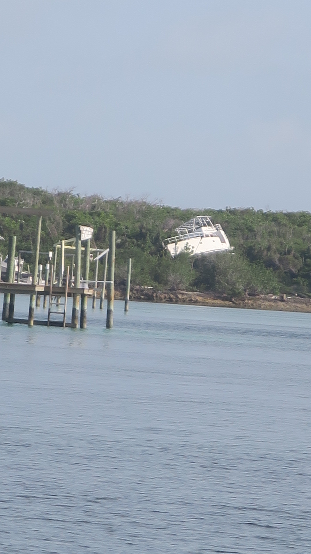
This section of the Bahamas was hit really hard by Hurricane Dorian. The devastation is really apparent here – that storm’s 20 foot surge pushed boats up in the trees. Ruined houses, boats, and piers are all over.
Storm surge drove that boat up there
We floated off at around 10:00 PM and anchored close to our friends for the night.
The red arrowhead is where we anchored last night.
We still plan to visit Hope Town which is incredibly close.
This was our theme song as we were waiting for the rising tide. It’s difficult to be too anxious if you’re singing.
Spanish Wells to outside Little Harbour, Abaco, Bahamas
May 20, 2022
We violated a rule of our own – we made plans and we were talking about how great it would be to be in a marina and get showers…
Mike, who owned the docks we used in Spanish Wells shared some local knowledge about getting out of the channel that saved us a good hour or more. We did not have to go south to go north after all.
Leaving Spanish WellsI love the sentiment
John had emailed the Schooner Bay Marina last night asking about a slip. Since it was after their business hours we were not too worried when we did not hear from them. They had not emailed back by the time we left this morning, but we understand that people get busy. We tried calling them by phone and VHF when we were a few miles out and they did not answer. Apparently we celebrated the idea of showering too soon!
Such a gray day – this was midroll which is why the horizon looks tilted
This was a long day on the water made longer by needing to change direction to get to a different anchorage.There was litttle wind today so we once again motor sailed. Although we had had some rolls when we were heading on our original route most of the time we had a following sea (waves going the same way we were), turning Lailia meant we had more waves that rolled across our beam (basically perpendicular to us so we felt the rolls).
A change in plans
Just as I went down below to plug in my laptop, we heard a strange noise. The alternator (of course) and water pump belt had broken. John turned off the motor and replaced the belt. My job during this time was to try to keep Lailia on course.
The first time I ever steered Lailia was in the Stono when the belt broke (that was actually the last time it happened). It’s easier to steer when you don’t have to worry about depth (we were in water about 4000 feet deep) and when you don’t have to worry about any other boats.
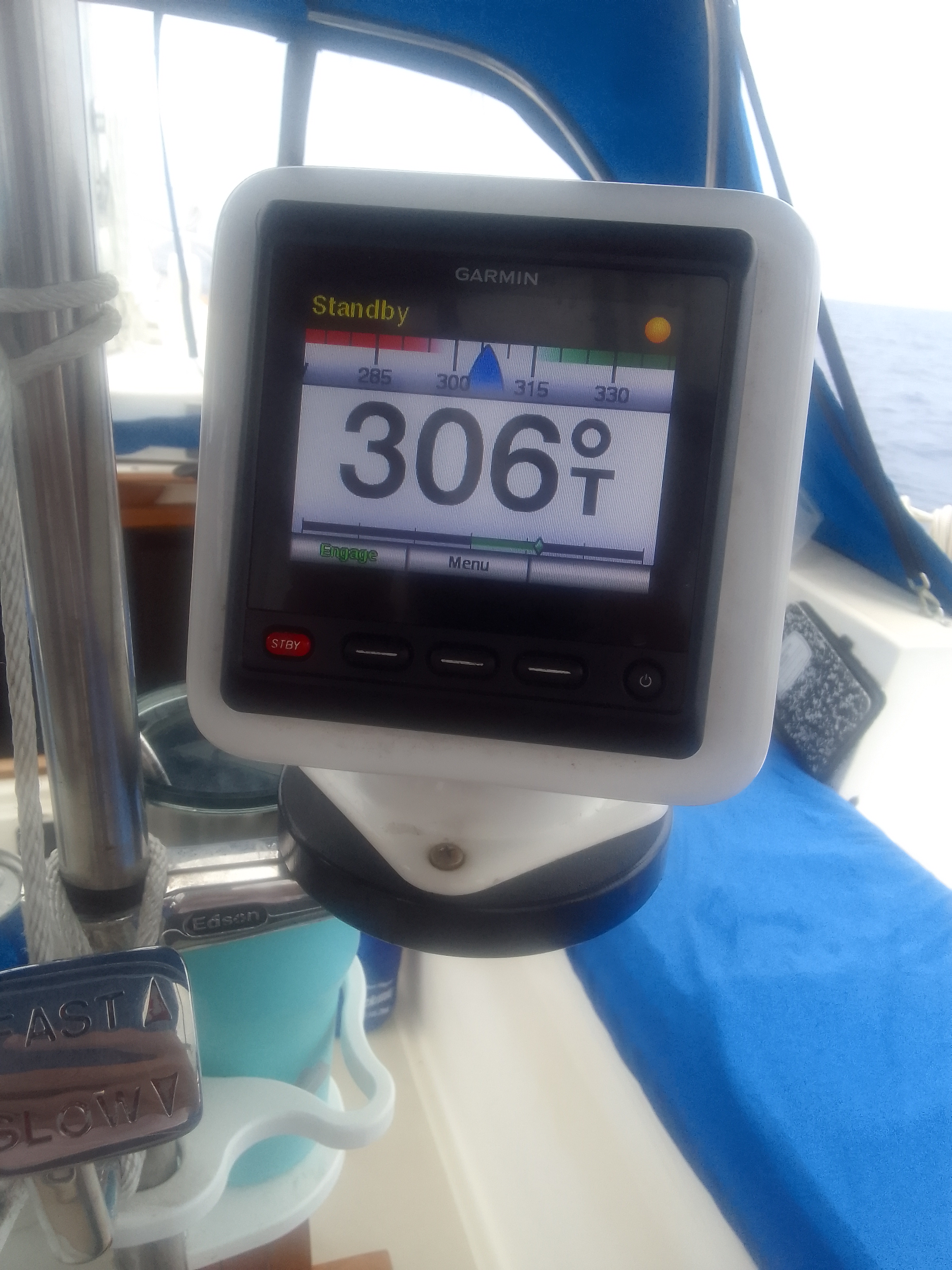
Less than 15 minutes later Lailia was moving ahead and we had the autopilot back on. Fortunately, John brought spare belts.
Trying to hold a course while the motor is off is not easy
The best part of the day was seeing the dolphins who swam alongside us for a while today. We haven’t seen many of these buddies since we crossed the Gulf Stream.
Little Harbour has a sculptor who does metal work in a foundry, which is what our son Kevin did in college. Unfortunately, we got here at low tide and the water in the channel to that harbor is not deep enough for us. The foundry doesn’t open until late afternoon so we will miss seeing it.
We are hoping to catch up with a few boat buddies while we are here. One boat is just behind us and will be sailing through the night. The other is in front of us but not too far.
Abaco and a bit of sun
We are in a very quiet and very deserted anchorage tonight. The wind is coming from one direction and the swell is coming from a different direction so John rigged a bridle to keep Lailia pointing into the swell. This will keep us comfortable by reducing side to side roll.
If the sky was clear we would be able to see so many stars. but it’s really cloudy. Now that we are here, we will be able to stay in the Sea of Abaco (protected from the east winds and waves) for a long time. We plan to get to Hope Town tomorrow to check out one of the last manual lighthouses in the world.
Papa Docks, Spanish Wells, St. George Cay (docked)
May 19, 2022
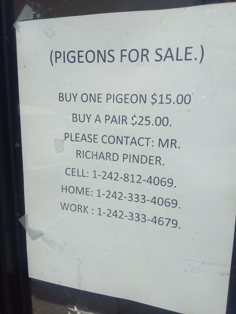
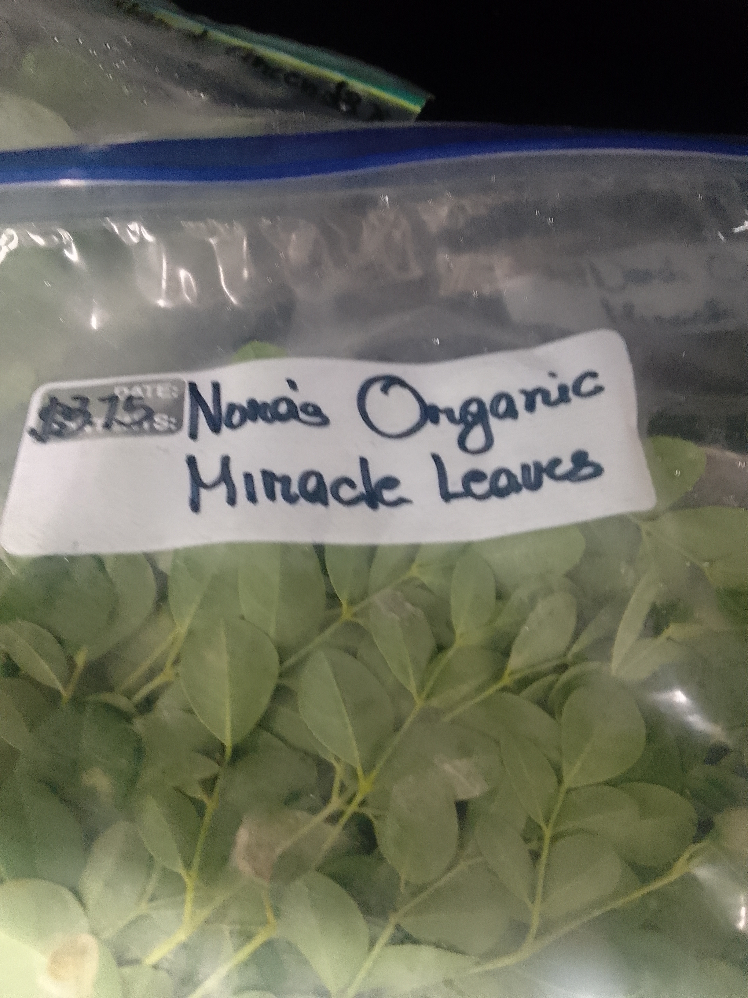
Provisioning is so much easier when we have a golf cart and a well-stocked market. The Food Fair in Spanish Wells is known for allowing locals to sell their products. Amongst the offerings of baked goods and pepper jelly, there were also some intiguing items likes pigeons and miracle leaves.
The Pinder name is pretty common on the island (the school and some roads have this name)I Googled this later and it’s the real name of the plant, not some hyperboleThis was pretty delicious!
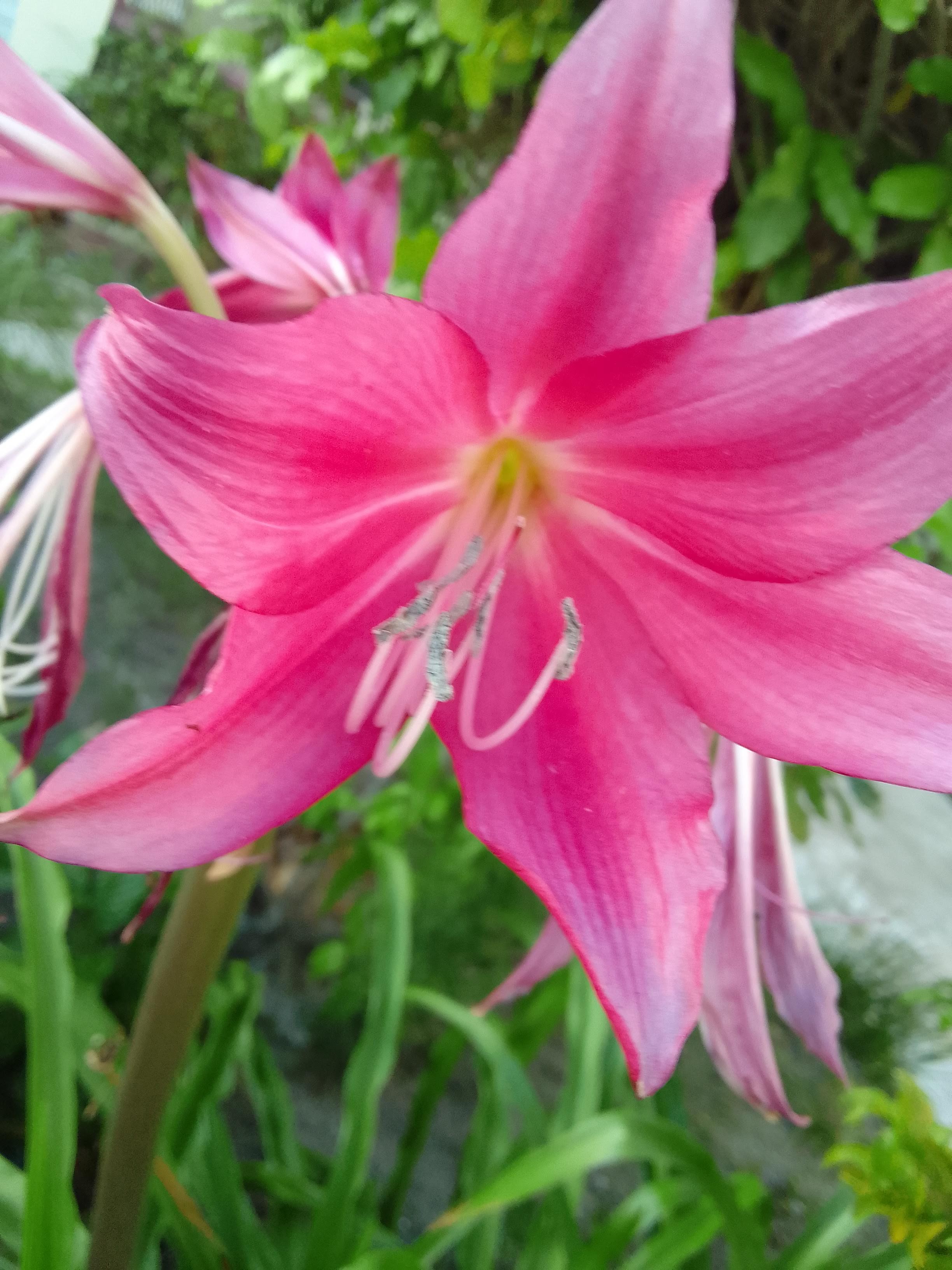
Spanish Wells filled with cool plants and flowers. Almost every yard has an abundance of bushes, shrubs, and flowers growing. Many homes also have containers with succulents and other plants. I have seen a lot of hanging plants,
These looked carnivorous
The sky seems really big here – we can see weather coming for miles. The water is still such pretty colors, though.
Right as we were taking the golf cart back it began to drizzle. The last few weeks have been really rainy., which means that we have to keep Lailia closed up. It gets really, really warm inside when we don’t have airflow.
We will leave through this cut tomorrowThe only waterspout I want to see!
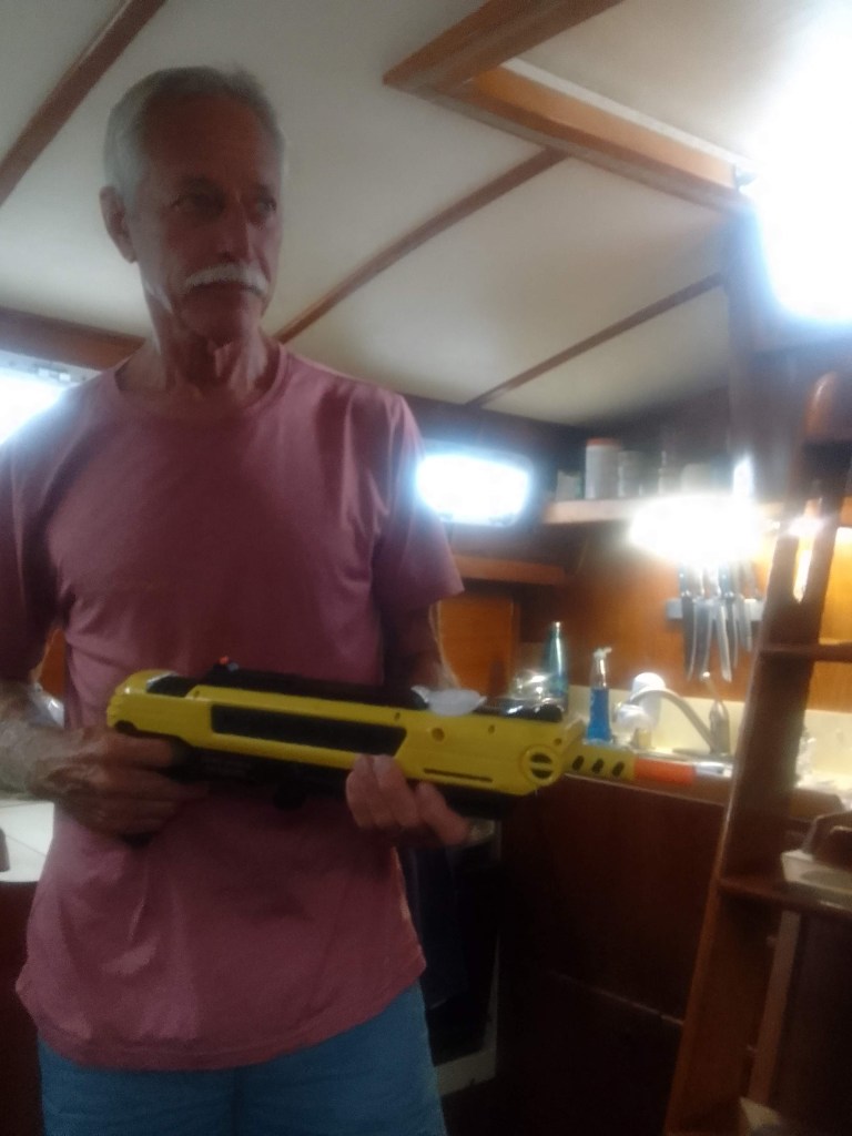
We have also had an ongoing war with black flies here, perhaps because there is so little wind. I like to spray them with Lysol or Windex to slow them down to make swatting them easier. John is more assertive-he used the “a-salt” gun which uses salt like buckshot to kill them.
John with his weapon
Tomorrow we hope to make the 53 nautical mile run to Abaco, specifically Schooner Bay which is on the east coast, right above the fishtail. Since the water around Spanish Wells and Eleuthera is shallow, we have to go a bit south before we turn north. This part of the trip will be more open to the Atlantic than we have been, which gives me some anxiety. I will take some Dramamine tonight so it has time to work and so I can get some sleep. John has the way mapped out and will sleep well tonight, as always.
Spanish Wells Yacht Haven to Papa Key Dockage, Spanish Wells, St. George’s Cay (docked)
May 18, 2022
That revving sound you heard today? That was John and me on a golf cart as we toured Spanish Wells and Russell Island. Spanish Wells is less than 2 miles long, so circumnavigation is pretty easy. This island is just so pretty!
We did not wear helmetsA reminder
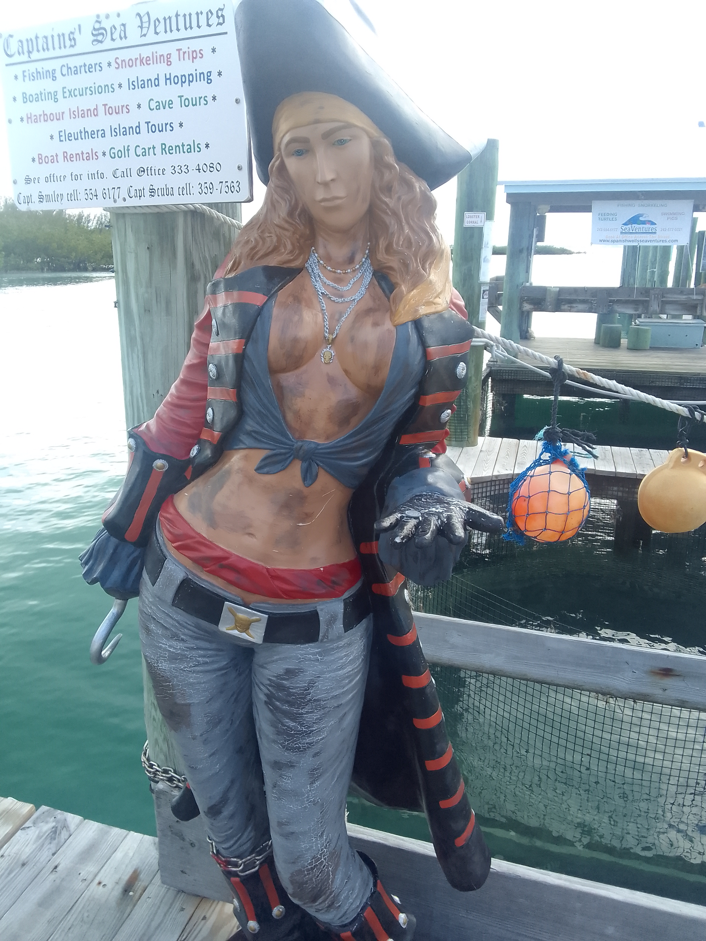
The pirate lady mannequin was…amusing. I don’t know if the dirt was part of the original sculpture or if it has been added by vehicle exhaust. I am guessing she can’t button her shirt with her hook?
This makes me laugh
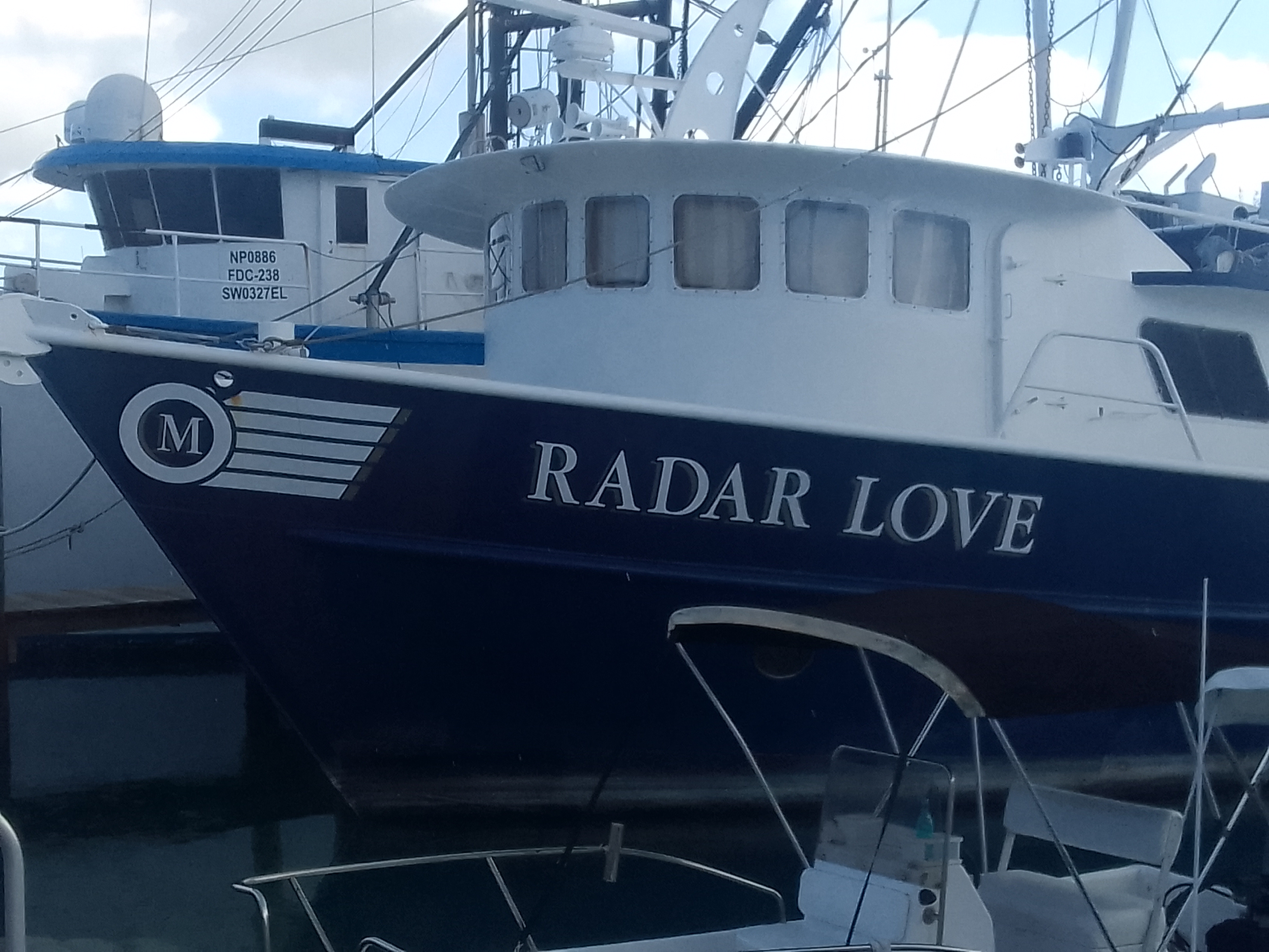
Ever since seventh grade (when I heard it in Brian Conway’s basement) I have loved Radar Love. I may have made passengers in my car sing the chorus a few times. Today I got my cable coming in from above – a message from Poseidon! (And we did sing the chorus every time we passed it.)
Today was the first day I saw the video. It’s almost as amusing as the pirate lady. It actually might be more amusing than the pirate lady…
I finally found my boat
Best song and maybe the worst video ever
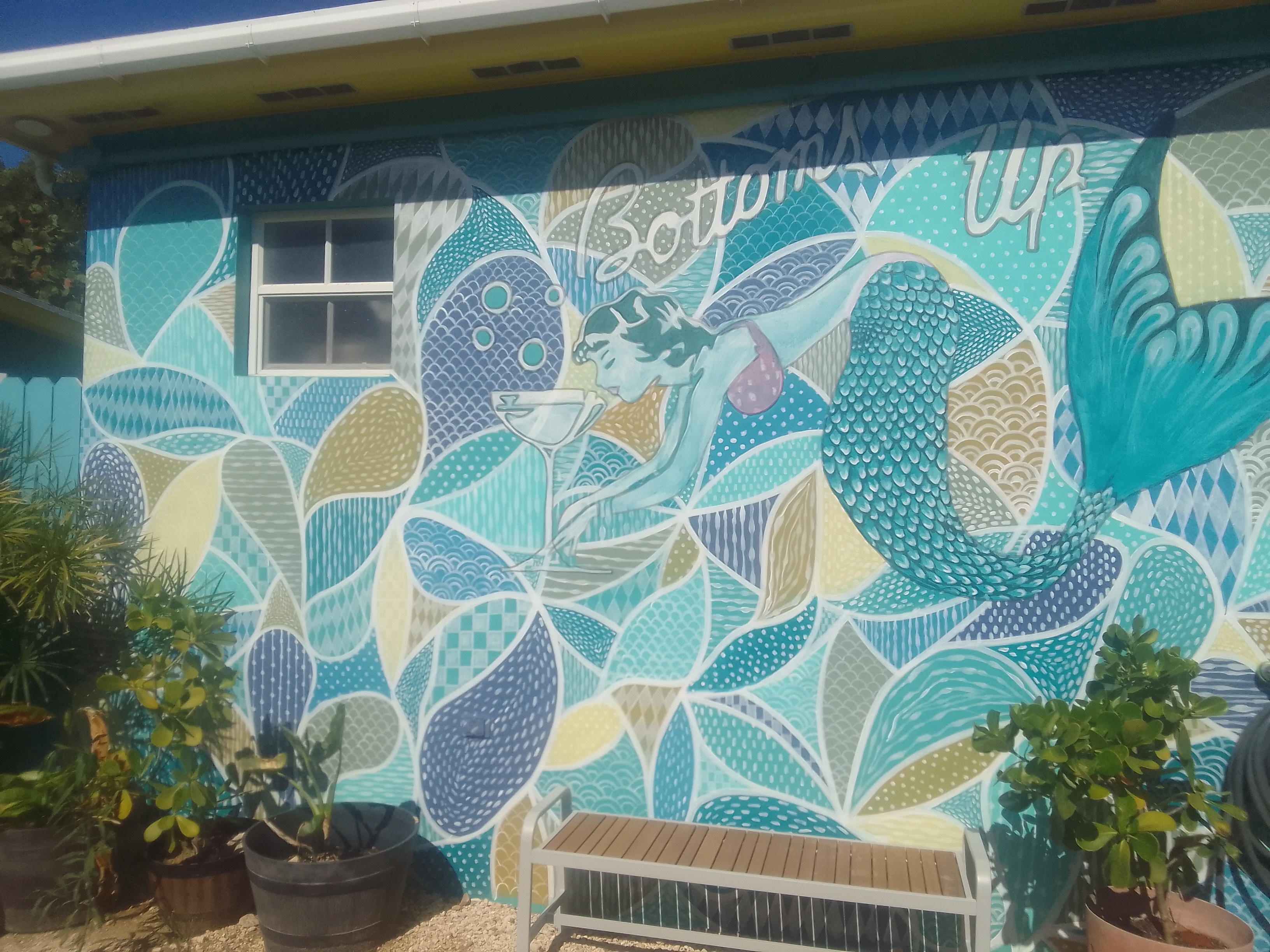
Russell Island is connected to Spanish Wells via a bridge. It’s a larger island but there’s fewer people and it seems almost rural. They do have the Sand Bar which is right on the beach.
Sand Bar mural
Sometimes cruising is not fun. Sometimes it’s boring. Sometimes it’s frustrating. But sometimes it’s pretty wonderful: sipping tropical drinks (pineapple express and mermaid mai tai) while looking out at all the blues on a Wednesday afternoon was sublime.
View from the Sand Bar
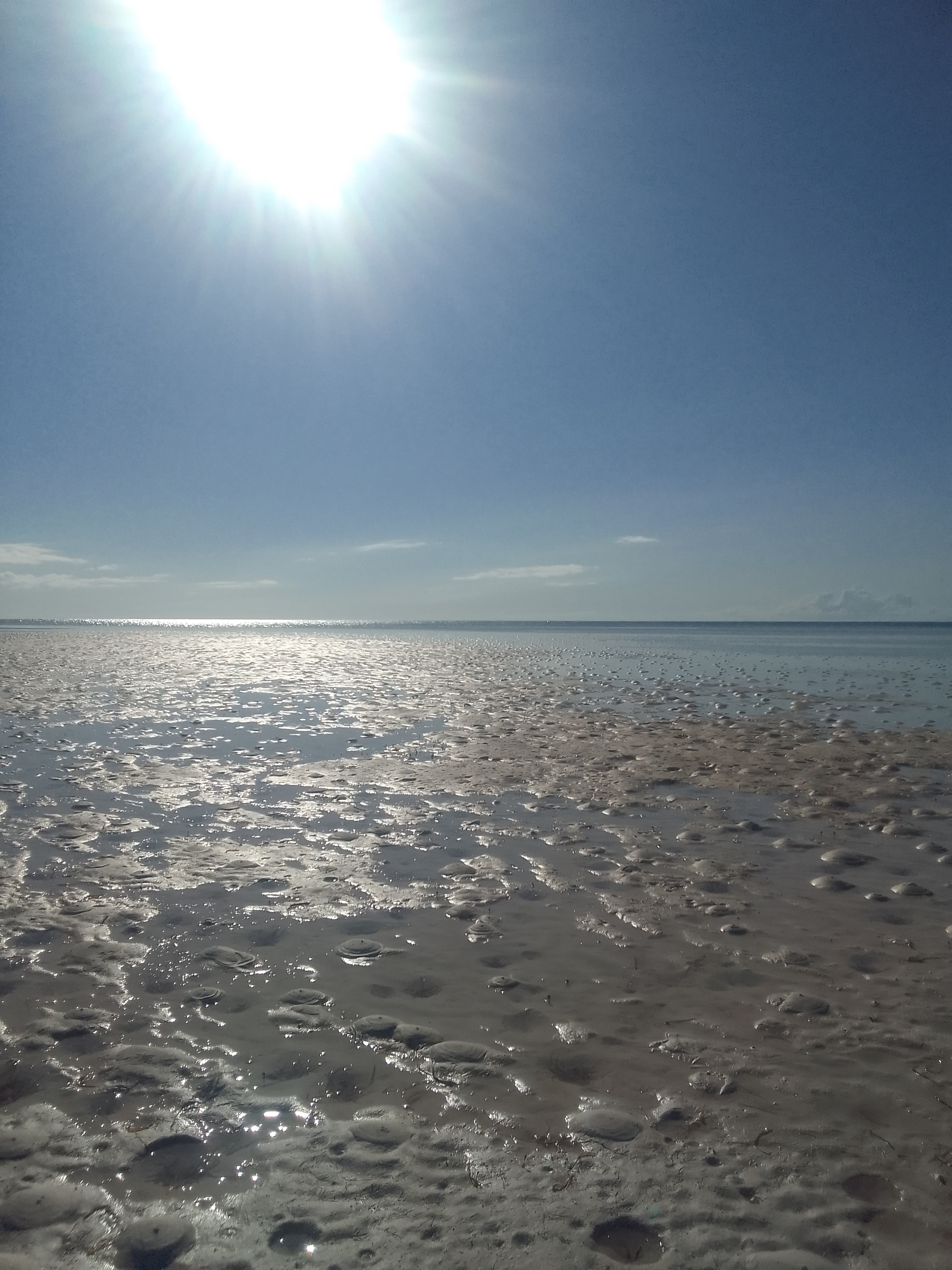
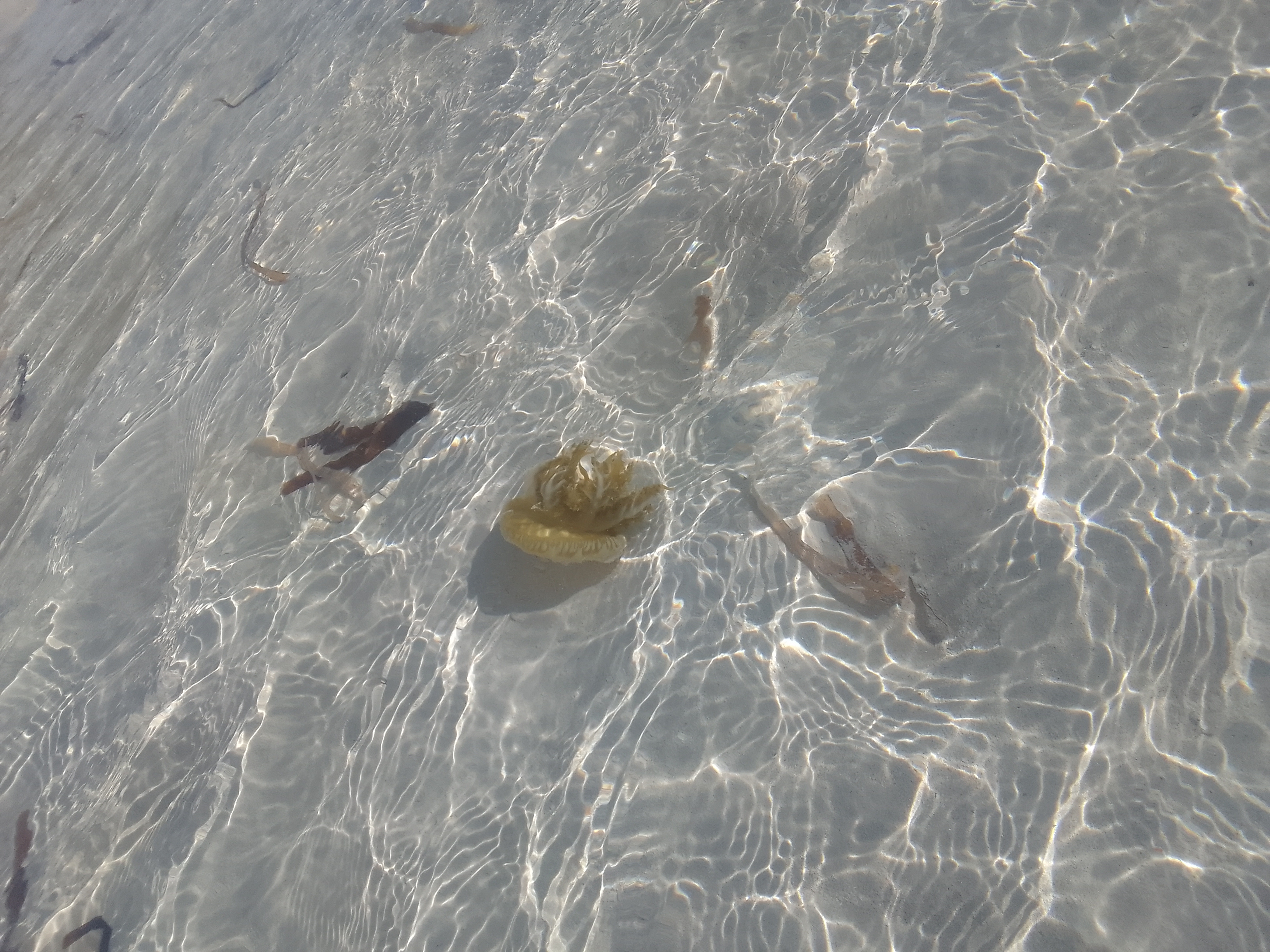
We waded a sandbar when we got back to Spanish Wells. While a lot of the sand in the Bahamas is large grained and really soft (so soft that our feet sink while we are walking), this sand was fine and hard. The water was only a few inches deep.
Sandbar (not the Sand Bar)Jelly buddy
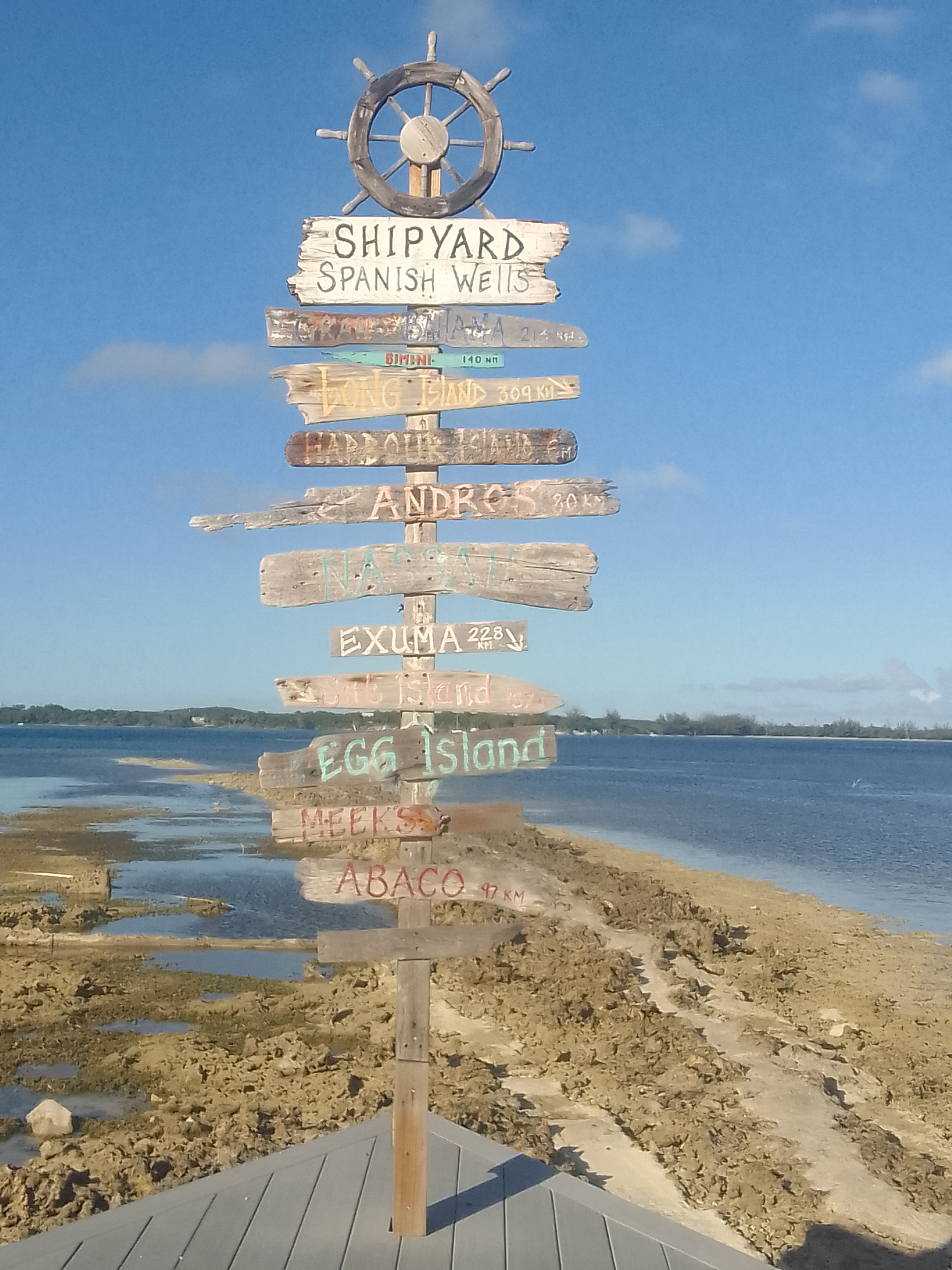
Having a golf cart today meant we could go all over easily so we went to a restaurant a Johns Island friend recommended (it was on the opposite end of Spanish Wells). It was probably one of the best meals we have had in the Bahamas.
At the Shipyard Restaurant
We moved Lailia to a different dock today. It’s much smaller and does not have showers or a laundry room. It does have electricity, which makes life easier. We’re able to run our fans at night which makes sleeping comfortable.
As of now, we plan to leave here on Friday and go north to Abaco, a long trip on the east side (the Atlantic side) of that island.
Nassau Harbor Club Marina to Spanish Wells Yacht Haven, Spanish Wells, Eleuthera (docked)
May 16 and 17, 2022
May 16
Gray, cloudy days are good days to complete tasks especially when it’s either raining or about to rain.
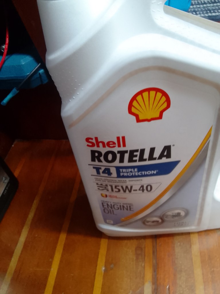
John changed Lailia’s oil since we’d motored about 100 hours since he changed it in Fort Lauderdale. I bought groceries and completed a lot of work on my laptop.
We use just about two of these and save the containers for old oil.The ladder to the companionway is off so John can access the motor
May 17
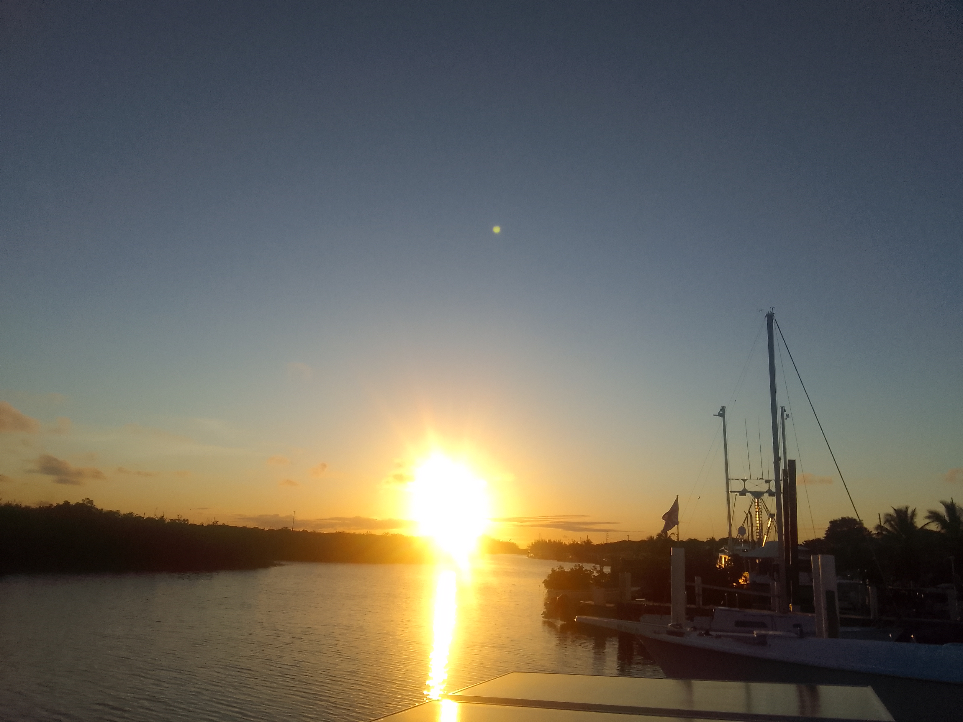
Spanish Wells is one of the funkier places in the Bahamas and it has been on our itinerary for quite awhile. It’s actually an easier route to get there from Nassau than from the Exumas.
Leaving Nassau – there’s some rain off our starboard sideOur route today
We haven’t been in really deep water since we approached Nassau from Hoffman’s Cay back at the end of March (which seems like forever ago). I had forgotten the sapphire blue of these depths.
The water depth in the Exumas was usually less than 3o feet; today we traveled through water that was 100 times deeper!Deep water blue
We had rain near us much of the way (or at least I think so – slept a lot). Boating in squally weather with wind and lightning can be stressful but we were lucky: we had some light rain but no strong winds or lightning. We even had some menacing clouds when we were getting close to Spanish Wells – somehow they didn’t impact us at all.
Our approach to Spanish Wells – the lighter water means it’s shallow (about 10 feet deep here)
We have no shore power at the dock today; the pedestal does not work. There are showers here, so there’s something good. If we can get the depth in this narrow channel that has mangroves on the opposite shore we may move to a different dock tomorrow at high tide.
Tonight we walked through the town. All of the islands we have visited have had their own flavor. The flavor here is really different – lots of flowers, nice roads, and pretty cottages.
Some artwork
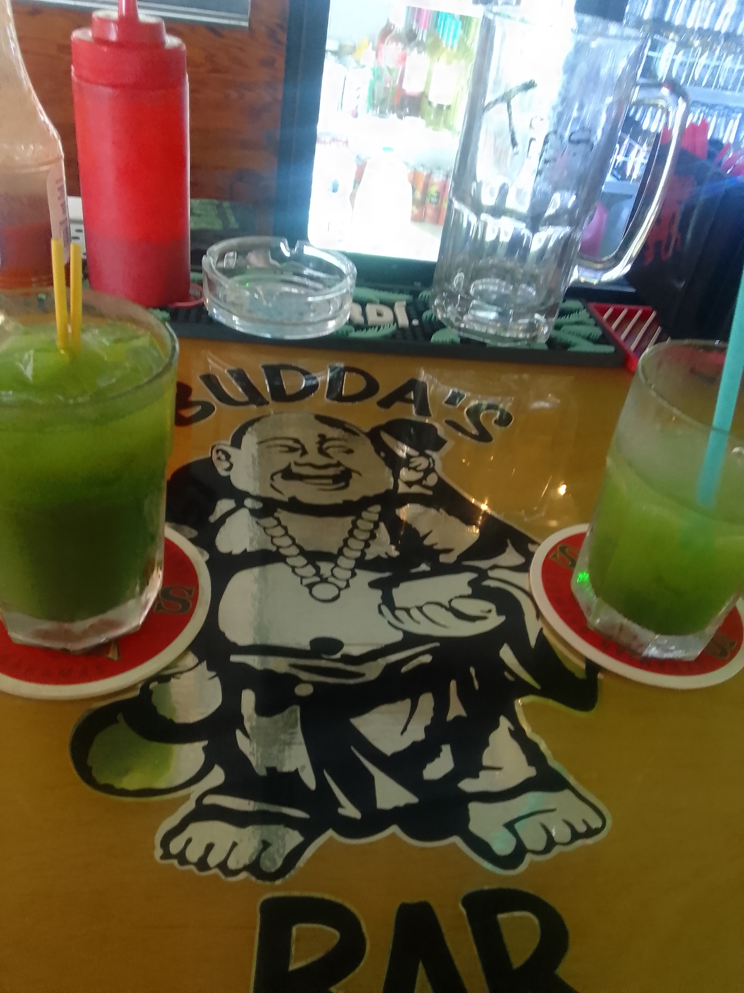
Budda’s Bar is well-known. Everyone we met who has been to Spanish Wells told us to visit. We’re really glad we did: delicious drinks including the Dizzy Budda that doesn’t taste like it has 8 different liquors in it. Since it’s green it has to be healthy, no matter how much liquor is in it.
Dizzy Buddas
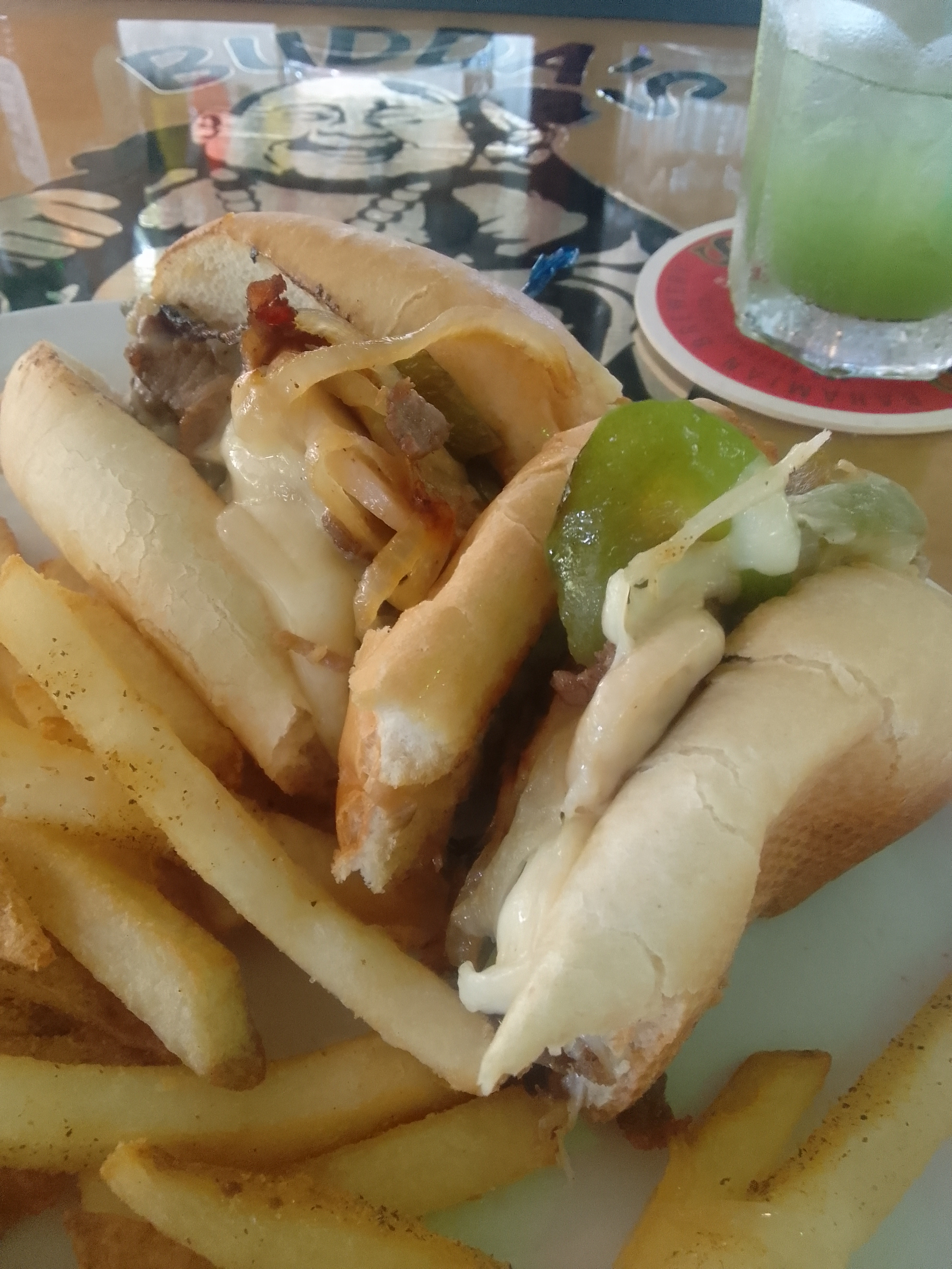
Somehow this little place on a small island in the eastern Bahamas has really good Philly cheesesteaks, too. It’s not quite Philadelphia/Delaware/New Jersey quality – mostly because the rolls are difficult to replicate -but it was pretty close.
I ate some before I took a picture…
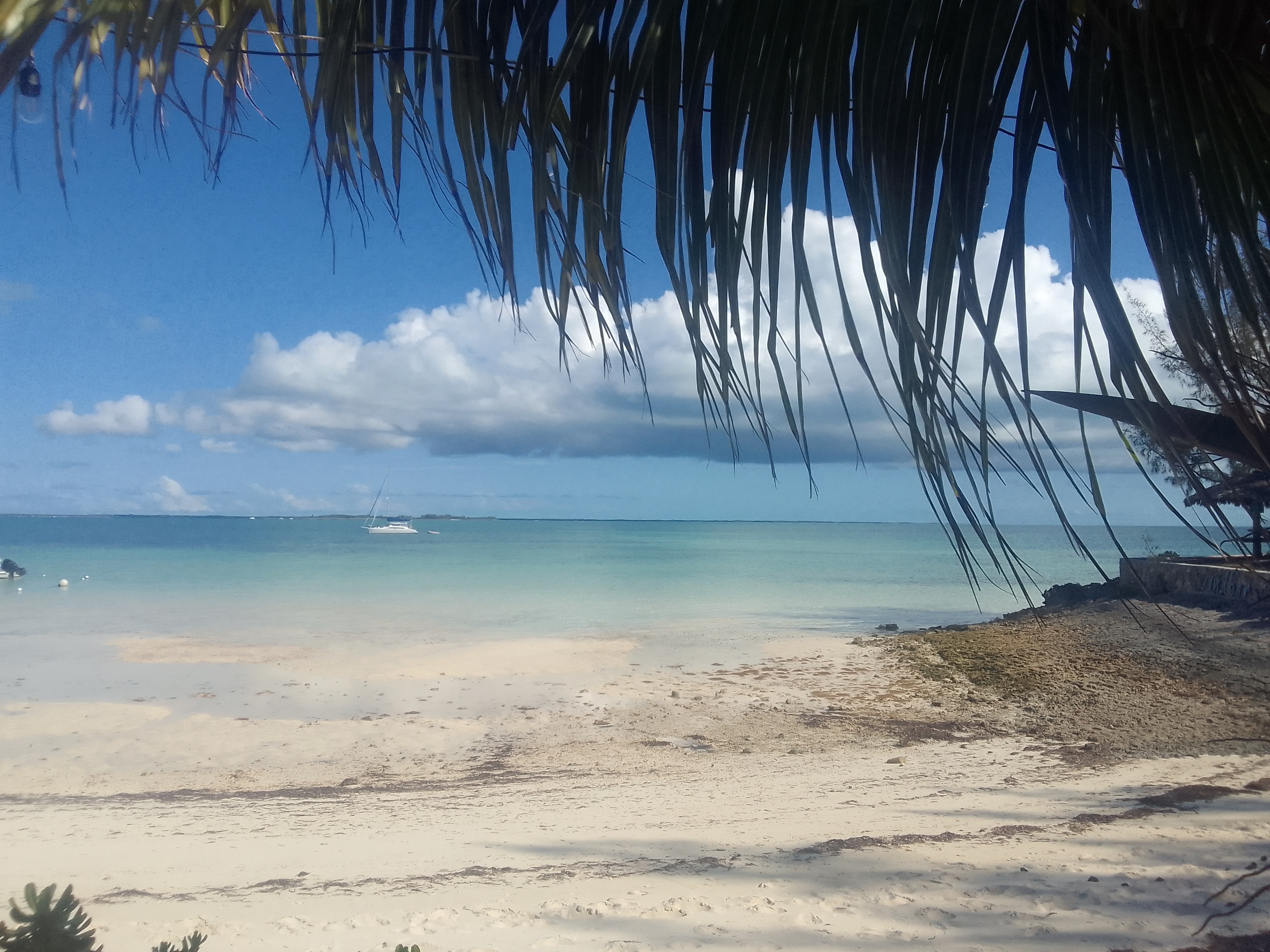
It’s narrow enough here that we could easily walk to the ocean side of the island to enjoy the view.
The north/ocean side of the island
The docks are in a mangrove channel so tonight the water is flat calm. There’s some breeze and very little light pollution. After the chaos of Nassau’s hustle and bustle, this is a perfect place to soak up some Bahamas flavor.